Download
1 / 20
200 likes | 207 Vues
WELCOME TO OUR MAPPING PARTY 3 STEPS TO GET READY. 3. Review 1-Pager. 1. Create an Account. 2. Confirm account. Head to openstreetmap.org Use your work email address. Check your email and confirm your account by clicking the link provided.

E N D
WELCOME TO OUR MAPPING PARTY 3 STEPS TO GET READY 3. Review 1-Pager 1. Create an Account 2. Confirm account Head to openstreetmap.org Use your work email address Check your email and confirm your account by clicking the link provided Read through the guide on your table to get familiar with how to map
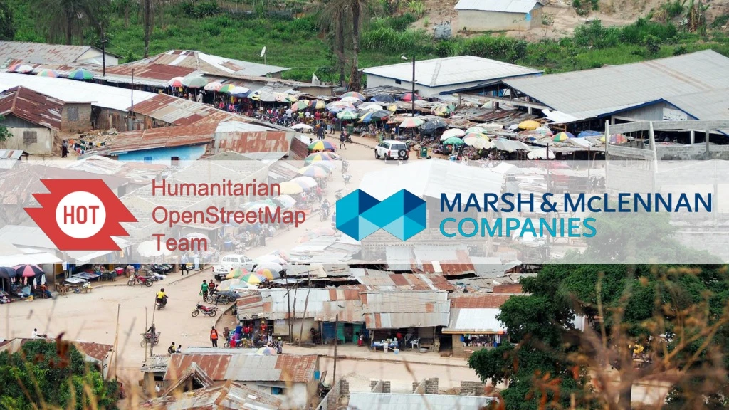
MISSING MAPS INTRODUCTION
MISSING MAPS WHAT IS MAPPING, AND WHY DO IT? Project: Aim: Creating digital maps of world’s ‘forgotten’ places by crowdsourcing Why: Many parts of the world most vulnerable to humanitarian crises such as natural disasters, disease outbreaks, epidemics or conflict are not mapped. People simply have no idea of the situation on the ground. Process: • Remote volunteers trace maps over satellite pictures, using a tool called OpenStreetMap • This is validated online by remote experienced mappers • The maps are validated locally by volunteers, and details e.g. place names are added Humanitarian organisations can use mapped information to plan risk reduction and disaster response activities that save lives Founders:
CURRENT MAPS BARAKA, DRC This is the highest quality map an NGO working in a location like the ones we map could expect to have. About 80,000 people live in the area shown below. From this map it’s hard to understand connectivity, population size, and how to pinpoint issues in the event of health crises or outbreaks.
THE IMPACT OF MAPPING BARAKA, DRC This is a thriving trading city of 120,000 people – mapped in just one evening by 70 people! Google maps still (to this date) shows no buildings in the area, whereas OpenStreetMap has thousands of buildings on an open source platform for all NGOs to use. Open Street Map Now Google Maps Now
MAPPING PROJECTS SELECT ONE FOR YOUR EVENT
MALARIA IN THAILAND PROJECT 5679 The background story Malaria is endemic in rural areas and the country borders, and affects 20,000 people each year. Thailand aims to eliminate malaria by 2024, and reduce the burden this preventable disease has on its people. How the maps will be used To help the Thai Ministry of health to conduct Indoor Residual Spray campaigns (IRS - pictured), making sure IRS teams get to the affected areas, can more accurately estimate the supplies they need, and can accurately track their program progress with data. This program replicates an approach we successfully took to support malaria elimination in Botswana and Guatemala in 2018. Red cross volunteers supporting flood response MSF treatment centre What the houses we’re mapping look like on the ground Training with local staff
DISASTER PREPAREDNESS IN MYANMAR PROJECT 5377 The background story We are mapping the Ayeyarwady Delta area in Myanmar as part of a mapping and data readiness activity to understand where critical infrastructure and roads are. This will inform decision making during disasters. In 2008 a cyclone killed 77,000 people with over 55,900 missing, and left 2.5 million homeless. How the maps will be used To help the Myanmar Red Cross to better understand where people live in relation to potential hazards so that we can help them be prepared, and so national decision makers can make better decisions in the immediate aftermath of a disaster. Red cross volunteers supporting flood response MSF treatment centre What the houses we’re mapping look like on the ground Training with local staff
HUMANITARIAN CRISIS IN CHAD PROJECT 5438 The background story In the lake basin region of Chad, conflict has led to 1.8 million Internally Displaced People. This is exerting pressure over scarce resources, and caused a sharp increase of humanitarian needs: food, healthcare, water, hygiene and sanitation for both IDPs and host communities. How the maps will be used To help the Nigerian Red Cross and PEPFAR to better understand population size, needs, and respond to the ongoing crisis Red cross volunteers supporting flood response MSF treatment centre What the houses we’re mapping look like on the ground Training with local staff
MAPPING DEMO OF MAPPING TOOL
LOGIN AND FIND OUR PROJECT PROJECT ID <FILL IN> 4 3 2 1 Press ‘Start Mapping’ Go to tasks.hotosm.org, and click log-in (top right) and then ‘Grant Access’ Search for the Project IDs then click on the project to open it Sign up at OpenStreetMap.org. Use an email you have easy access so you can click the verification link.
SELECT AN AREA TO MAP TASKING MANAGER 3 1 2 Click ‘Start Editor’ The area for mapping is split into a grid. The colour of each square represents it’s map status. Select a white square and click ‘Start Mapping’. The square you selected will load in a new tab. The area you need to map is within the pink box. Do not map outside of this box.
MAPPING SQUARE BUILDINGS RIGHT ANGLE SHADOWS 3 2 4 1 Click the centre of the building and hit ‘S’ on your keyboard, or right click to choose the square button to make the corners of the building 90 degrees. Find a square building. Select the ‘Area’ tool, and draw a square over the building. Double click to finish. Zoom in close to the top left of your square, start methodically moving through the square using your mouse or left/right arrows Tag the building using the left hand menu. Select building, then choose building again - the building will turn red. You’ve now mapped a building!
MAPPING CIRCULAR BUILDINGS CRESCENT MOON SHADOWS 2 1 Double click to finish. Click the centre of the building, then hit the ‘o’ key on your keyboard. Remember to tag it as a building. Map circular buildings the same way you map square buildings, except draw a triangle over the building not a square. Circular buildings are harder to spot as it’s easy to confuse them with trees. Look out for defined half moon shadows, raised points in the centre, and surrounding paths and fencing. What the tukul (hut) will look like on the ground.
SAVING YOUR WORK REMEMBER YOUR HASHTAGS 3 1 2 When you’ve finished mapping everything in your square, go back to the tasks.hotosm.org tab, and mark the square as done by clicking ‘Mark as completely mapped’. If the square is not complete just choose ‘Stop Mapping’ When you save your work add the hashtag for your office to the Changeset Comment Find your # on the leaderboard http://www.missingmaps.org/partners/mmc/ Save your work every 10 or so edits by clicking the ‘Save’ button. The number next to this button is how many edits you’ve made since your last save.
QUICK TIPS THESE SIMPLE STEPS MAKE GOOD MAPS! Click on the building and press ‘S’ to square the corners Make sure your buildings don’t touch or overlap unless they definitely should. You can delete one building and re-map it not touching the next. There may be some pre-mapping e.g. building names, roads. Don’t delete this information - map the surrounding buildings!
QUICK TIPS THESE SIMPLE STEPS MAKE GOOD MAPS! Remember to tag everything as a building. White = untagged, red = tagged as a building When a building is covered by trees, still try your best to map the building footprint
AT THE END LOGGING YOUR VOLUNTEER HOURS Shannon to fill out
DOWNLOAD MAPSWIPE AND CONTINUE MAPPING ON THE GO