Download
1 / 21
240 likes | 285 Vues
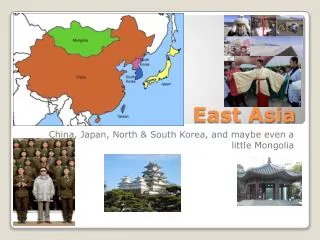
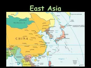
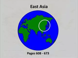
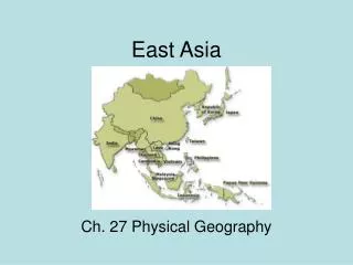
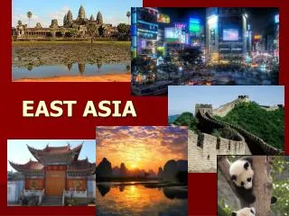
East Asia. Ch. 27. China dominates the region in size and population. East Asia is marked by mountain ranges, plateaus, deserts, and islands where natural resources are unevenly distributed. The same landforms affect climate and vegetation.

E N D
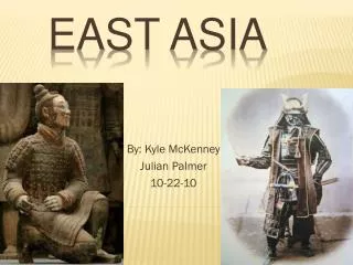
East Asia Ch. 27
China dominates the region in size and population. • East Asia is marked by mountain ranges, plateaus, deserts, and islands where natural resources are unevenly distributed. • The same landforms affect climate and vegetation. • Monsoons bring seasonal weather patterns, which are also influenced by ocean currents.
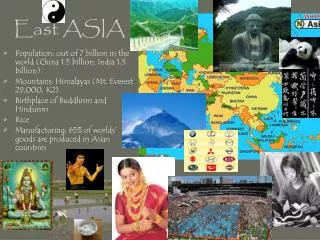
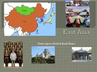
Land & Sea The People's Republic of China has the world's largest population and comprises about 80 percent of East Asia's land area • Peninsulas, Islands, & Seas • Many peninsulas & islands dot the westernmost Pacific Ocean • South China Sea stretches from Taiwan to the Philippines • Peninsula of SE Asia carries 1/3 of the worlds shipping trade • The Ring of Fire • Three tectonic plates meet along an arc of islands east of China and cause frequent earthquakes and volcanic eruptions. Undersea earthquakes can cause tsunamis. • Circle of seismic activity that borders the Pacific ocean
Mountains, Highlands & Lowlands • East Asian Mountains • Mountain ranges and highlands mark the inland regions of East Asia • The Pamirs, the Kunlun Shan, the Tian Shan • Japan & Taiwan have mountainous interiors • Mt. Fuji • China’s Plateaus, Basins, & Deserts • The Plateau of Tibet in SW China • Highest plateau in the region (15,000 ft) • Mongolian Plateau • Tarim Basin: between China’s inland moutnain ranges • Taklimakan Desert (to the west) & the Gobi Desert (to the north) • Sichwan Basin: fertile area between the Plateau of Tibet & N. China Plain • North China Plain: mild climate & long growing season
River Systems • China’s major rivers; the Yellow, Yangtze, and Xi Rivers-begin in the Plateau of Tibet and provide transportation routes, hydroelectric power, and fertile soil in their basins • The Huang He • “Yellow River”, gets its name from topsoil • Irrigates & deposits soil in the N. China Plain • Named China’s sorrow for the flooding • Yangtze River • Longest river in Asia (3,965 mi) • Empties at Shanghai • Xi River • “West River” • Creates huge fertile delta near S. China Sea • Connects Hangzhou to Beijing through the Grand Canal
Rivers in Japan & Korea Japan & Korea have short swift rivers Provide hydroelectric power North Korea’s Yalu River forms its border with China The power of Wind & Water Feng Shui: Guides architects, contractors & decorators to design & build structures that harmonize with surrounding landforms River Systems
Natural Resources • East Asia's mineral and agricultural resources are unevenly distributed • China’s large land area contains the greatest share & widest range of mineral resources • Iron ore, tungsten, tin, gold, oil, coal • 10% of China’s land is suitable for farming • South Korea’s prime farmland produces 2 crops a year (rice & barley) • Mongolia & Japan have limited farmland • Taiwan has hardwood forests • Japan, South Korea, Taiwan, & coastal China support deep sea fishing • Seafood farming has become a major industry in E. Asia
Latitude and physical features, such as mountain barriers, highlands, and coastal regions, shape East Asia's climate
Climate Regions • Mid-Latitude Climates • SE quarter of E. Asia has a humid subtropical climate • NE quarter has a humid continental climate • Eastern half of the regions is filled with mixed forests • Bamboo, tea, & mulberry • Desert & Steppe Climate • Mongolia & inland N. China are dry due to surrounding mountains • Gobi & Taklimakan desert are cold & dry • Highlands Climates • The higher the elevation the lower the temp
Tropical Rain Forest The island of Hainan shares a tropical rain forest climate with Taiwan Temps are warm with heavy rainfall in the summer The Roots of Rice & Soy The Chinease have cultivvated rice and soy for 7,000 years 2 of their staple foods Climate Regions
Monsoons • Seasonal weather patterns are dominated by the monsoons, • Monsoons bring over 80 percent of the region's annual rainfall during the summer months and cold, arctic air during the winter
Ocean Currents • Ocean currents influence the climate of Japan. • The Warm Japan Current brings moisture & warm temps • The Kuril Current brings cold winds from the Bearing Sea • The interaction of ocean currents and monsoons can give rise to typhoons.