Download
1 / 25
250 likes | 399 Vues
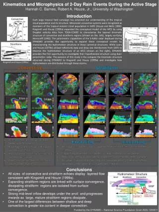
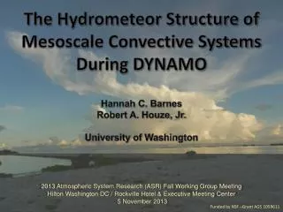
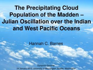
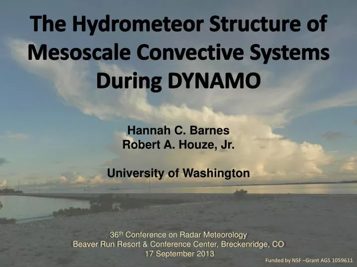
The Hydrometeor Structure of Mesoscale Convective Systems During DYNAMO Hannah C. Barnes Robert A. Houze, Jr. University of Washington 36 th Conference on Radar Meteorology Beaver Run Resort & Conference Center, Breckenridge, CO 17 September 2013. Funded by NSF –Grant AGS 1059611.

E N D
The Hydrometeor Structure of Mesoscale Convective Systems During DYNAMO Hannah C. Barnes Robert A. Houze, Jr. University of Washington 36th Conference on Radar Meteorology Beaver Run Resort & Conference Center, Breckenridge, CO 17 September 2013 Funded by NSF –Grant AGS 1059611
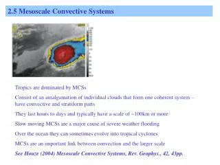
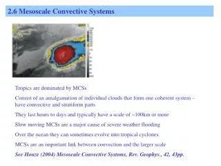
Conceptual Model of Mesoscale Convective Systems (MCSs) GATE: Diabatic Heating Houze (1982, 2004)
Conceptual Model of Mesoscale Convective Systems (MCSs) TOGA COARE: 3D, layer airflow Convective Stratiform Kingsmill and Houze (1999a)
DYNAMO-AMIE-CINDY SPolKa IndianOcean • Addu Atoll, Maldives • Dual wavelength • Only using S-Band • Doppler • Dual-polarimetric • Particle Identification Algorithm (Vivekanandan et al., 1999) • RHI sectors
Objective • Characterize hydrometeor structure of MCSs • Composite with respect to kinematic structure
Hourly Timeseries of Accumulated Rain Methodology 1 4 2 5 6 3 • 11 rain maximums during DYNAMO (Zuluaga and Houze, 2013) • Subjectively identify cases • SPolKa radial velocity • Layer lifting • RHI sector and within 100 km • One per storm • Manually map hydrometeor location using PID • Composite around layer lifting 8 9 7 10 11 Zuluaga and Houze (2013)
Convective Updraft dBZ Vrad 24 Oct 0250 UTC
Heavy Rain Very Light Rain Moderate Rain Light Rain Graupel Graupel - Rain Convective Updraft Wet Aggregates Dry Aggregates Non-oriented Ice Horz. Oriented Ice
Mid-Level Inflow dBZ Vrad 23 Dec 1850 UTC
Types of Mesoscale Convective Systems Leading Line – Trailing Stratiform 23 Dec 1850 UTC Non-leading Convection 18 Oct 1835 UTC
Heavy Rain Very Light Rain Moderate Rain Light Rain Graupel Graupel - Rain Leading Line – Trailing Stratiform Wet Aggregates Dry Aggregates Non-oriented Ice Horz. Oriented Ice
Heavy Rain Very Light Rain Moderate Rain Light Rain Graupel Graupel - Rain Non-Leading Convection Wet Aggregates Dry Aggregates Non-oriented Ice Horz. Oriented Ice
Conclusions • Hydrometeor organization consistent across MCS types • Need research different MCS structures • Comparison of model output and radar observations
Videosonde Observations in Thick Stratiform during MISMO Suzuki,
Theorized Hydrometeor Profile of MCS from GATE Leary and Houze (1979b)
Mid-Level Inflow Surface Example22 Nov 2011, 2020 UTC, 116deg