Download
1 / 20
200 likes | 310 Vues
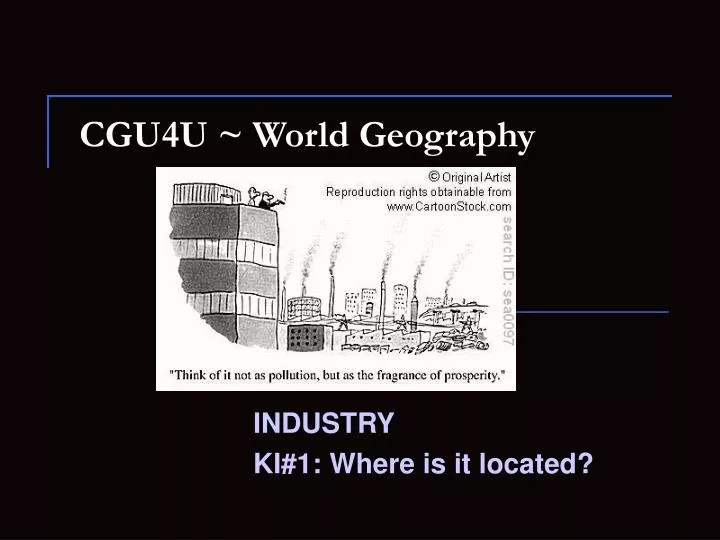
CGU4U ~ World Geography. INDUSTRY KI#1: Where is it located?. Where?. ¾ of the world’s industrial production is concentrated in four regions: Northwestern Europe Eastern Europe North America East Asia. General information. Agriculture covers ¼ of the Earth’s land

E N D
CGU4U ~ World Geography INDUSTRY KI#1: Where is it located?
Where? • ¾ of the world’s industrial production is concentrated in four regions: • Northwestern Europe • Eastern Europe • North America • East Asia
General information • Agriculture covers ¼ of the Earth’s land • Industry covers less than 1% of the Earth’s land • Look at map p 367 – look at dotted area
EUROPE • Within Europe there are four distinct districts: • UK • Rhine-Ruhr Valley • Mid-Rhine • Northern Italy • (see page 368, figure 11-2)
Why these four areas? • Proximity to raw materials (coal and iron ore) and markets (large concentrations of wealthy European consumers).
United Kingdom • Dominated manufacturing in the 19th century • Produced more than half of the WORLD’S cotton fabric and 2/3 of the WORLD’S coal. WOW! • INDUSTRIAL REVOLUTION – the revolution in industrial technology created an unprecedented expansion in productivity, resulting in substantially higher standards of living. The Industrial Revolution created social, economic, political, and industrial changes.
United Kingdom • Following WWII, the UK lost their position of industrial leader as Germany and Japan rebuilt their factories after the bombings. • Map p. 368 Figure 11-3 United Kingdom
RHINE – RUHR VALLEY(Northwestern Germany) page 368 • Unlike Britain, where it was easy to unify the country with railways, the rest of Europe had a difficult time creating an efficient transportation network as various wars and financial costs slowed industrial development.
RHINE – RUHR VALLEY • Industrial development followed a linear concentration settlement pattern. • The region produced steel and iron because of close proximity to large coalfields. • Rhine river helped developed the transportation networks.
MID – RHINE (Southwestern Germany) (page 368) • Second most important industrial area in Western Europe (next to the UK) • Important financial and commercial centre because of central location. The location also attracts industry that produce goods countrywide (easy to transport) • Large iron-ore fields lend to large steel production
NORTHERN ITALY • Industrial Revolution occurs in the 20th century • Major industrial region emerged in the Po River basin where more approximately half Italy’s population resides. • Produced textiles, raw materials processors, and mechanical parts assemblers • Access to cheap labour, cheap electricity, and a major river
EASTERN EUROPE (mostly Russia page 370) • Occurs under communist rule • Has access to market (consumers) • Transportation accessible – rail, ports ship building • Rich in natural resources
NORTH AMERICA (page 371) • Industrial Revolution occurs later here but grew faster than the UK • US 1776 – predominantly agricultural society. First textile mill built 1791. • After 1808 – textile industry took off as US placed a trade embargo on Europe during the Napoleonic wars. • By 1860 – US second to the UK as an industrial nation
CANADA • main industry concentrated along the St. Lawrence and Ontario Peninsula. • Situated along the Canada – US border. • Proximity to water, electricity, transportation, natural resources.
EAST ASIA (map p 372) • Advantage: large labour force • Disadvantages: relatively isolated and shortage of essential resources • Japan became industrial power in 1950s and 1960s. Cheap labour produced large quantities of cheap goods. • Japan then turned to training highly skilled workers when threatened by South Korea, Taiwan and other countries for cheap labour.
China – emerging manufacturing power • Largest labour force • Manufacturing is clustered along the coastal regions