Download
1 / 53
530 likes | 732 Vues
Fig. 12.18. Chapter 9 Coasts, Estuaries and Environmental Issues. Fig. 12.5. Primary Coast: Delaware Bay & Chesapeake Bay. Fig. 12.4. Primary Coast: Milford Sound Fjord, New Zealand. Box Fig. 2, pg. 323. Primary Coast: Mississippi River Delta. Fig. 12.6. Primary Coast:

E N D
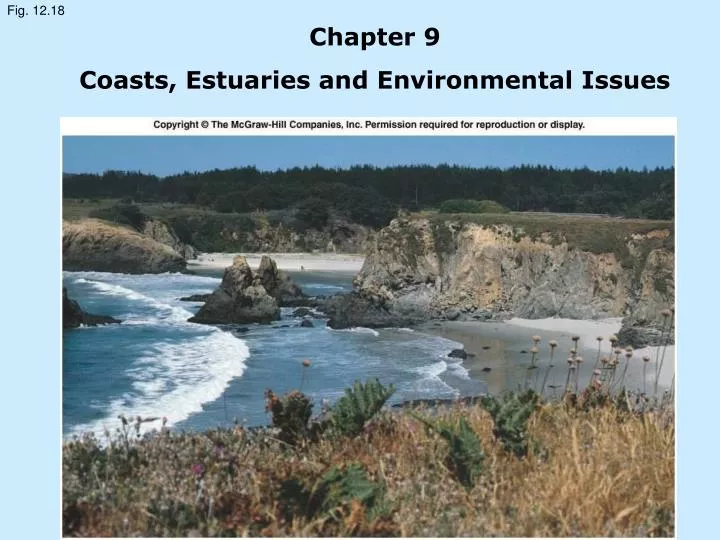
Fig. 12.18 Chapter 9 Coasts, Estuaries and Environmental Issues
Fig. 12.5 Primary Coast: Delaware Bay & Chesapeake Bay
Fig. 12.4 Primary Coast: Milford Sound Fjord, New Zealand
Box Fig. 2, pg. 323 Primary Coast: Mississippi River Delta
Fig. 12.6 Primary Coast: Coastal Sand Dunes near Florence, Oregon
Fig. 12.7 Primary Coast: Volcanic Crater Coast: Hanauma Bay, Hawaii
Fig. 12.8 Primary Coast: San Francisco Bay
Fig. 12.9 Secondary Coast: Cliffed Coast, New Zealand
Fig. 12.2b Secondary Coast: Sea Stacks, Southern Australia
Fig. 12.18 Secondary Coast: Pocket Beaches cut Elevated Marine Terrace, California
Fig. 12.14 Secondary Coast: Mangrove Trees, south Florida
Fig. 12.15 Secondary Coast: Coastal Saltwater Marsh, Gaspé, Quebéc, Canada
Fig. 12.16 Typical Beach Profile
Fig. 12.17a Berms on a Gravel Beach
Fig. 12.17b Wave-Cut Scarp on a Gravel Beach
Fig. 12.13 Spit Across Entrance to Sequim Bay, Washington
Fig. 12.25 Spit Connected to Offshore Island forms a Tombolo
Fig. 12.31 Ediz Hook: A long spit forming a natural breakwater at Port Angeles, Washington
Fig. 12.26 Mud Balls, or Moeraki Boulders, New Zealand
Fig. 12.19 Seasonal Beach Changes
Fig. 12.20 Waves Produce Longshore Current
Fig. 12.23 Rip Currents forming off a beach
Fig. 12.22 Coastal Circulation Cell
Fig. 12.24 Major Coastal Circulation Cells, Southern California
Fig. 12.24 Variations in Global Mean Sea Level, 1993 - 2003
Fig. 12.32 Salt Wedge Estuary
Fig. 12.33 Well-Mixed Estuary
Fig. 12.34 Partially-Mixed Estuary
Fig. 12.35 Fjord-Type Estuary
Fig. 12.38 The Evaporative Sea
Fig. 12.36 The Evaporative Sea
Fig. 12.37 The Evaporative Sea
Fig. 12.28 Beach Groins, Hastings, England
Fig. 13.10 The Industrialized Estuary and Wetlands of the Duwamish River, Seattle, Washington
Fig. 13.6a The Impact of Plastics on the Marine Environment
Fig. 13.6b The Impact of Plastics on the Marine Environment
Fig. 13.6c The Impact of Plastics on the Marine Environment
Fig. 13.6d The Impact of Plastics on the Marine Environment
Fig. 13.8a The Tanker Amoco Cadiz, aground off France, 1978
Fig. 13.8b Oil along the French Coast
Fig. 13.8c Hot, pressurized water used to clean beaches after Exxon Valdez
Fig. 13.8e Oil in the Persian Gulf after the 1991 Gulf War
Fig. 13.8f Beach Cleanup after 1993 Oil Spill, Tampa Bay
Fig. 13.4 Dead Zones in the northern Gulf of Mexico
Fig. 13.4 Invasive Species – Asian Clam
Fig. 13.4 Invasive Species – European Green Crab
Box Fig. 1, pg. 318 United States National Marine Sanctuaries
Box Fig. 2, pg. 319 Hawaiian Islands Humpback Whale National Marine Sanctuary
Box Fig. 3, pg. 319 Florida Keys National Marine Sanctuary