Download
1 / 15
150 likes | 276 Vues
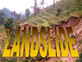
3DEP Data to Reduce Landslide Losses. Jonathan Godt Ph.D. Program Coordinator Landslide Hazards Natural Hazards Mission Area. 3DEP data improve landslide hazard assessments. Enable and improve landslide recognition Improve landslide hazard assessments

E N D
3DEP Data to Reduce Landslide Losses Jonathan Godt Ph.D. Program Coordinator Landslide Hazards Natural Hazards Mission Area
3DEP data improve landslide hazard assessments • Enable and improve landslide recognition • Improve landslide hazard assessments • Repeat collection to document changes and assist response
Lidar data reveal past landslide activity Schulz (2007)
Enable improved hazard assessments Griswold and Iverson (2007)
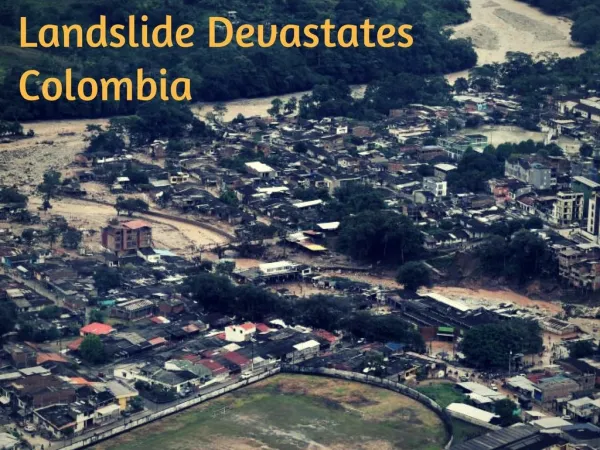
Oso, Washington landslide 43 lives lost 10:37 am PDT, Saturday, March 22, 2014 Buried about 40 homes and 0.8 mile of SR530 Temporarily blocked the North Fork of the Stillaguamish River Search operations involve hundreds of professionals and volunteers
The landslide devastated the Oso community Image from Governor Inslee
Lidar data were used to assist search and recovery operations
3DEP data enables rapid assessment and visualization Image courtesy of S. Schilling Pre-Landslide topography
To communicate landslide hazard Image courtesy of S. Schilling Post-Landslide topography
3DEP topography reveals past landslide activity Haugerud(2014)
Slides are hidden in low-resolution topographic data Haugerud(2014)
But revealed by 3DEP data Haugerud(2014)