Download
1 / 18
190 likes | 290 Vues
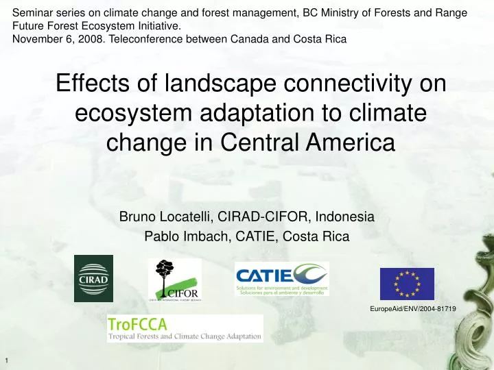
Seminar series on climate change and forest management, BC Ministry of Forests and Range Future Forest Ecosystem Initiative. November 6, 2008. Teleconference between Canada and Costa Rica. Effects of landscape connectivity on ecosystem adaptation to climate change in Central America.

E N D
Seminar series on climate change and forest management, BC Ministry of Forests and Range Future Forest Ecosystem Initiative. November 6, 2008. Teleconference between Canada and Costa Rica Effects of landscape connectivity on ecosystem adaptation to climate change in Central America Bruno Locatelli, CIRAD-CIFOR, Indonesia Pablo Imbach, CATIE, Costa Rica EuropeAid/ENV/2004-81719
Climate change and ecosystem migration • CC modifies location of suitable environments for plants (Hannah et al., 2002) • Future distribution of ecosystems depends on the ability of plants to migrate (Pitelka et al., 1997; Kirilenko et al., 2000) • High migration rates (>1000 m/yr) required to adapt to CC (Malcolm et al., 2002) • Many studies on CC and ecosystems consider unlimited dispersal or no dispersal (Pearson, 2006) • Uncertainties on migration rates of trees: • During post-glacial warming • 100’s to 1000’s m/yr(Pearson 2006, Malcolm et al., 2002), • less than 100 m/yr (McLachlan et al., 2005) • Models of current migration • Around 100 m/yr (Dyer, 1995)
Protected Area • Their role in migration under CC depends on spatial patterns • Latitudinal and altitudinal gradients • Is it so simple? Corridor Direction of species movement due to CC Biological corridors and protected areas • Landscape alteration may reducemigration capacity(Pitelka, 1997) • Altering dispersal rate • Reducing suitable habitat for successful colonization • Corridors can enhance landscape connectivity between valuable vegetation areas(e.g. protected areas)
Can corridors facilitate ecosystem migration between protected areas in a context of CC? Case of the Mesoamerican Biological Corridorin Costa Rica
Protected Areas Biological Corridors Mexico • The Mesoamerican Biological Corridor (MBC) • Regional initiative • Conceptualized and agreedupon in 1997 • Under progressive implementation Belize Guatemala Honduras El Salvador Nicaragua Costa Rica Panama (CCAD-UNDP/GEF, 2002) Study site • Costa Rica • Biological richness & conservation policies • “Increasing isolation of protected areas may prevent them from functioning as an effective network” (Sánchez-Azofeifa et al., 2003)
Nicaragua N Caribbean Sea Costa Rica Protected Areas Mesoamerican corridor Pacific Ocean Panama
Approach and model assumptions (1/2) • Cellular Automata • Simple representation of vegetation • Model ≠ evolution of vegetation • Model = landscape connectivity • Vegetation types =Holdridge life zones Holdridge • Each vegetation type is composed of 5 groups of species with different migration rates • From slow (100 m/yr) to fast-moving (2000 m/yr)
Model assumptions (2/2) • Migration is possible through contiguous pixels with vegetation • 4 scenarios • No migration • Migration • With vegetation only in protected areas • With vegetation in protected areas and corridors • With vegetation everywhere (“Eden”)
sp adapted to lzcurrent? No: presence:=presence/2 Yes: sp already present in px? Yes: presence:=presence*2 (with upper bound due to carrying capacity) No: sp in neighbourhood? (radius=migration(ft)) Yes: presence:=0.25 No: presence:=0 Algorithm Pixel px Species spft,lz Controller Initialize Estimate 1990 Life Zone (lz1990) Create baseline presence: presence(px,spft,lz1990)=1 Run Estimate CurrentLife Zone (lzcurrent ) Next decade Updateindicators
Nicaragua Caribbean Sea Costa Rica Pacific Ocean Panama Nicaragua Caribbean Sea Costa Rica Pacific Ocean Panama Protected Areas Biological Corridors Data • Scales • Spatial = 2.5 arc min (around 4.6 km x 4.6 km) • Temporal = Decades, from 1990 to 2050 • Climate and altitude • WorldClim dataset (Hijmans et al., 2005): • Altitude, Monthly Precipitation and Temperature • Current and future • IPCC scenario A2 • HadCM3 climate model • Protected Areas and Biological Corridors • CCAD map, 2001
Results and discussion 12°N Life zone movement 8°N 86°W 81.5°W
Nicaragua N Caribbean Sea Pacific Ocean High impacts Low impacts Panama Protected areas most sensitive to CC(no migration scenario)
Protected areas under different migration scenarios Effect of corridors
Which corridors contribute moreto the adaptation of protected areas?
How to explain these results? Corridors and Areas not evaluated Missing corridors? Direction of Life Zone Movement Important corridors (connecting isolated and vulnerable areas, in a good direction) Already connected protected areas
Conclusion • Sensitivity of protected areas to CC • Especially isolated areas and in mountain and dry zones • Role of corridors for reducing vulnerability • Useful tool for: • Identifying vulnerable protected areas • Prioritizing corridors in a context of CC • Further steps: • Consider actual vegetation outside protected areas and corridors • Use different climate scenarios • Use different representations of ecosystem dynamics and migration • Perform sensitivity analysis