Download
1 / 12
120 likes | 300 Vues
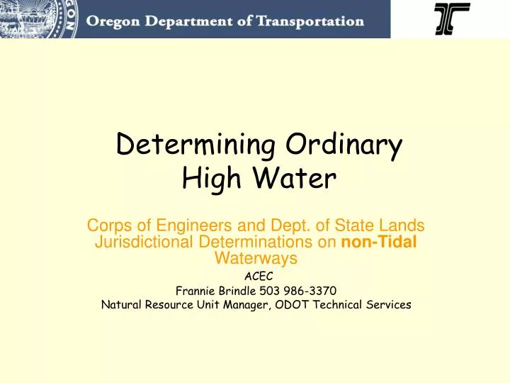
Determining Ordinary High Water. Corps of Engineers and Dept. of State Lands Jurisdictional Determinations on non-Tidal Waterways ACEC Frannie Brindle 503 986-3370 Natural Resource Unit Manager, ODOT Technical Services. Dept. of State Lands and Corps of Engineers.

E N D
Determining Ordinary High Water Corps of Engineers and Dept. of State Lands Jurisdictional Determinations on non-Tidal WaterwaysACEC Frannie Brindle 503 986-3370 Natural Resource Unit Manager, ODOT Technical Services
Drift material (or wrack) in fence? Clear line impressed along shore? Antelope Creek, Jackson Co. March 2006
Field Characteristics Culvert staining–not appropriate for determining fish passage design criteria
Relation to Other ‘Lines’ • 2-year flood elevation • Calculated based on modeling • OHW is usually lower on the bank than the 2-year • Bank full stage • Often used interchangeably with OHW in literature • Channel forming flows • Defined by DSL as the two-year recurrence interval flood elevation • Edge of Water • Top of bank • Easily identifiable on some streams • OHW is usually below the top of the bank
Context In-water work timing Resource Impacts Fish Passage Design
Procedures • Flag OHW in field (flag only one side of stream if access is limited and project line to the other side in CAD) • Use painted stakes or flags where possible • Take photos up- and down-stream showing flag placement
Procedures (cont) • Complete form: • OHW field characteristics observed • If 2-year used instead, should be stated • Develop site sketch showing flag locations, photo-points • Final Documentation includes OHW Determination Form, Photos, Site Sketch
Sample Site Sketch Steep bank- visible indicators Low hanging vegetation- willows, other riparian 3 flow 2 P1 P2, 3 1 Elevation point 4 N