Download
1 / 19
190 likes | 363 Vues
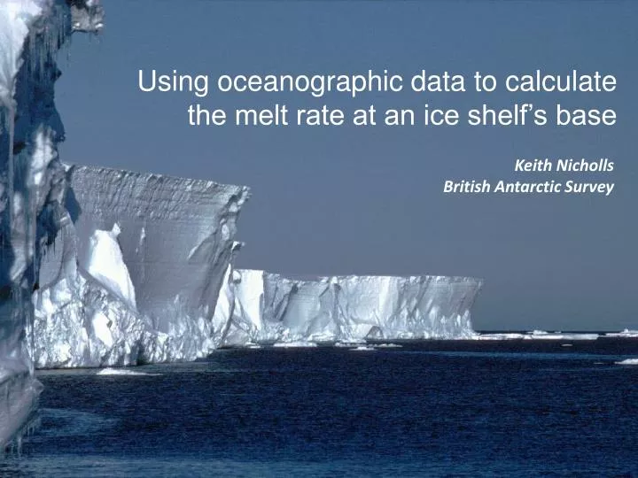
Using oceanographic data to calculate the melt rate at an ice shelf’s base. Keith Nicholls British Antarctic Survey. Why do we want to be able to calculate melt rates?. Oceanographers: Continental shelf and regional oceanography Formation of precursor deep and bottom waters.

E N D
Using oceanographic data to calculate the melt rate at an ice shelf’s base Keith Nicholls British Antarctic Survey
Why do we want to be able to calculate melt rates? Oceanographers: Continental shelf and regional oceanography Formation of precursor deep and bottom waters Glaciologists: Ice shelves form the boundary of the AIS Ice Shelves help control discharge of ice from the continent Consequences for sea level WAIS-FRISP, September 27-29, 2009
How do we calculate the rate of melting at the ice base? (Tmixedlayer – Tice base), velocity shear Conservation of heat: Melt rate ~ Heat diffused across boundary layer - heat diffused into ice shelf U∞, CD Conservation of salt: Freshening at base balanced by salt diffusion across boundary layer (Smixedlayer – Sice base) , velocity shear Ice base at the in situ freezing point Tice base ~ Sice base , Pice base • Don’t know CD , so we guess (tuneable constant) • Need bulk transport coefficients for heat and salt WAIS-FRISP, September 27-29, 2009
Bulk transport coefficients • Assumes: • Neutral boundary layer • Mixed layer [Kader and Yaglom, 1972; 1977] WAIS-FRISP, September 27-29, 2009
[WOCE SO Atlas Orsi and Whitworth III 2005] Sea floor temperature WAIS-FRISP, September 27-29, 2009
How do we test melt rate parameterisations? Bellingshausen Sea No published data from beneath warm sector ice shelves Several datasets from cold regime ice shelves Weddell Sea Ronne Ice Shelf WAIS-FRISP, September 27-29, 2009
Ocean conditions beneath Ronne Ice Shelf site Thermistors near base; Current meters WAIS-FRISP, September 27-29, 2009
Measured: 0.554 m a-1 Derived: 0.453 m a-1 Increase CD from 0.0025 to 0.0033 to get very good match Measured: 0.734 m a-1 Derived: 0.586 m a-1 WAIS-FRISP, September 27-29, 2009
What about “warm regime” ice shelves? Bellingshausen Sea During 1980s BAS did some work on George VI Ice Shelf Weddell Sea George VI Ice Shelf Several sites drilled; thermistor cables deployed; CTD profiling at some sites in the south. Ronne Ice Shelf WAIS-FRISP, September 27-29, 2009
“Warm regime”: George VI Ice Shelf site Drill site WAIS-FRISP, September 27-29, 2009
Ocean properties at George VI Ice Shelf Southern site WAIS-FRISP, September 27-29, 2009
Ronne and Southern GVIIS sites: upper 60 m of water column Ronne Site Southern GVIIS Site In situ freezing point Ice base WAIS-FRISP, September 27-29, 2009
George VI site ºC Depth below ice base (m) WAIS-FRISP, September 27-29, 2009
Performance of parameterisation: George VI Ice Shelf site Melt rate determined directly from thermistor cables = 1.4 m a-1 Melt rate calculated from oceanographic measurements = 8.5 m a-1 Assumes U = 0.07 m s-1, from “nearby” observations U needed for match = 0.01 m s-1 WAIS-FRISP, September 27-29, 2009
Melt rates for Pine Island Glacier (Rignot 1998) Maximum: >~ 50 m a-1 Delta T ~ 3.4ºC, U ~ 0.1 m s-1: m ~ 65 m a-1 Mean: ~ 24 m a-1 WAIS-FRISP, September 27-29, 2009
Radar flight lines Extreme basal topography beneath Pine Island Glacier [Vaughan et al, 2006] WAIS-FRISP, September 27-29, 2009
Summary Need to be able to calculate melt rates of ice shelves Seem to do it quite well for “cold” regime ice shelves But not well at all for George VI IS (low water speeds) Possibly ok for extreme melt regimes, given canyonised flow? WAIS-FRISP, September 27-29, 2009
Future Plans Larsen A Ice Shelf (BAS 2010-11) George VI Ice Shelf (BAS 2010-11) McMurdo Ice Shelf (US 2010-11) Pine Island Glacier (US 2012-13, BAS ?) WAIS-FRISP, September 27-29, 2009