Download
1 / 20
200 likes | 299 Vues
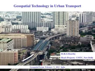
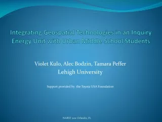
Integrating Geospatial Technologies in an Inquiry Energy Unit with Urban Middle School Students. Violet Kulo, Alec Bodzin, Tamara Peffer Lehigh University Support provided by the Toyota USA Foundation. Geospatial Technologies. Map, visualize, and analyze geo-referenced data

E N D
Integrating Geospatial Technologies in an Inquiry Energy Unit with Urban Middle School Students Violet Kulo, Alec Bodzin, Tamara Peffer Lehigh University Support provided by the Toyota USA Foundation NARST 2011 Orlando, FL
Geospatial Technologies • Map, visualize, and analyze geo-referenced data • Industry, business, education • Enhance science learning • Authentic inquiry • Critical thinking skills • Problem solving skills • Spatial thinking
Energy Unit • Align instructional materials and assessments with learning goals • Used with all ability levels of urban 8th grade students • Use GIT to promote student understanding of the content • Includes teacher resources and content support materials
Purpose of the Study • Examine if GIT can be used to promote students’ learning of energy resources content. • RQ1: Does an inquiry unit supported by geospatial technologies promote urban middle school students’ understandings of energy concepts? • RQ2: Are there any differences among ability level tracked middle school students?
Methodology • Design–Based Research Design • Combines formative evaluation and analysis of the implementation process • Naturalistic setting • Design partnership • Science educators, scientists, instructional designers, classroom teachers • Daily teacher interviews
Methodology • School Context/Participants • Diverse ethnic backgrounds - 54% Hispanic, 30% White, 16% Black • 105 eighth-grade students and one science teacher • 3 ability-levels tracks by mathematics PSSA scores • 19% ESL students • 20% migratory population • 59% reading proficiency and 22% science proficiency
Methodology • Instrumentation • Classroom observation protocol • Pre/posttest content knowledge assessment • Reliability
Investigating Oil Production and Consumption with My World GIS
**p < .001. FINDINGS: Student Achievement
*p < .01. **p < .001. FINDINGS: Student Achievement by Content Subscale
88% on task (engaged) 76% independent FINDINGS: Student Performances
Conclusions • Use of GIT improved students’ understandings of energy. • Content knowledge increased for learners at all ability levels. • Students were highly engaged. • Interview data support that educative curriculum materials helped the teacher to model and scaffold activities.
Website Address and Contact Information http://ei.lehigh.edu/eli/energy Paper available at: http://ei.lehigh.edu/eli/research/pubs.html Violet Kulo vak4@lehigh.edu