1 / 71

The Geography of Latin America

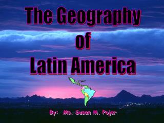
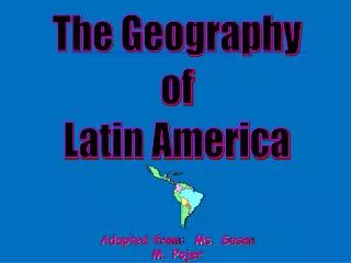
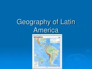
The Geography of Latin America. Regions of Latin America. The Caribbean. Central America. South America. Topography. Satellite Image of Latin America. Bodies of Water. Gulf of Mexico. Caribbean Sea. Orinoco R. Amazon R. Pacific Ocean. Parana R. Lake Titicaca. Atlantic Ocean.

upton
Télécharger la présentation

The Geography of Latin America

An Image/Link below is provided (as is) to download presentation Download Policy: Content on the Website is provided to you AS IS for your information and personal use and may not be sold / licensed / shared on other websites without getting consent from its author. Content is provided to you AS IS for your information and personal use only. Download presentation by click this link. While downloading, if for some reason you are not able to download a presentation, the publisher may have deleted the file from their server. During download, if you can't get a presentation, the file might be deleted by the publisher.

E N D

Presentation Transcript


  1. The Geography of Latin America

  2. RegionsofLatinAmerica The Caribbean Central America South America

  3. Topography

  4. Satellite Image of Latin America

  5. BodiesofWater Gulf of Mexico Caribbean Sea Orinoco R. Amazon R. Pacific Ocean Parana R. Lake Titicaca Atlantic Ocean

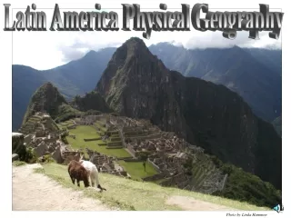
  6. MountainsandPeaks Sierra Madres Mts. Guiana Highlands Brazilian Highlands Andes Mts. Patagonian Plateau

  7. Andes Mountains (Peru)

  8. View from Santiago,Chile

  9. Llamas in the Andes

  10. The Sierra Madres, Mexico

  11. Copper Canyon area of N. Mexico

  12. Guianan Highlands, Venezuela

  13. Angel Falls – World’s Largest

  14. Brazilian Highlands

  15. Patagonian Plateau (Chile)

  16. ValleysPlainsandBasins Llanos Amazon Basin MatoGrosso Pampas

  17. Amazon Rain Forest

  18. Diverse Animals

  19. Dense Forests

  20. Mato Grosso

  21. Mato Grosso Bright red is forested areas. Gray is clear cut areas. 1992 2006

  22. Orinoco Lowlands, the Llanos

  23. Cattle Ranching on the Pampas

  24. Deserts Chihuahuan Desert Atacama Desert

  25. Atacama Desert

  26. Driest Desert Avg. of .04 inches/year Some rain stations have NEVER measured any rain!

  27. Chihuahuan Desert - Mexico

  28. Cities Havanna Port-au-Prince Mexico City Caracas Panama City Bogota Lima Brasilia Rio De Janiero Santiago Buenos Aires

  29. Others Panama Canal Falkland Islands Cape Horn

  30. The Falkland Islands or Islas Malvinas

  31. Cape Horn

  32. The Panama Canal

  33. The Panama Canal

  34. Going Through the Panama Canal

  35. Earthquake Zones

  36. Active Volcanoes

  37. Climate

  38. The Tropical Hemisphere

  39. Latin American Climatic Zones

  40. Very Varied Climate Zones

  41. Precipitation

  42. Temperatures

  43. Elevation

  44. Altitudinal Zonation:Vertical Climate

  45. Vegetation

  46. Amazon Rain Forest

  47. On the Ground Floor of the Rain Forest

  48. Three-Tiered Canopy

  49. Native Indians of the Amazon

More Related