Download
1 / 2
20 likes | 23 Vues
Postcode-based flood risk assessment is a valuable tool that leverages geographic information systems (GIS) and flood mapping data to evaluate the potential flood hazards in specific areas. The data takes into account various factors such as proximity to rivers, lakes, or coastal zones, historical flood events, elevation, and urban development.<br>https://urban-water.co.uk/flood-risk-assessment/<br>

E N D
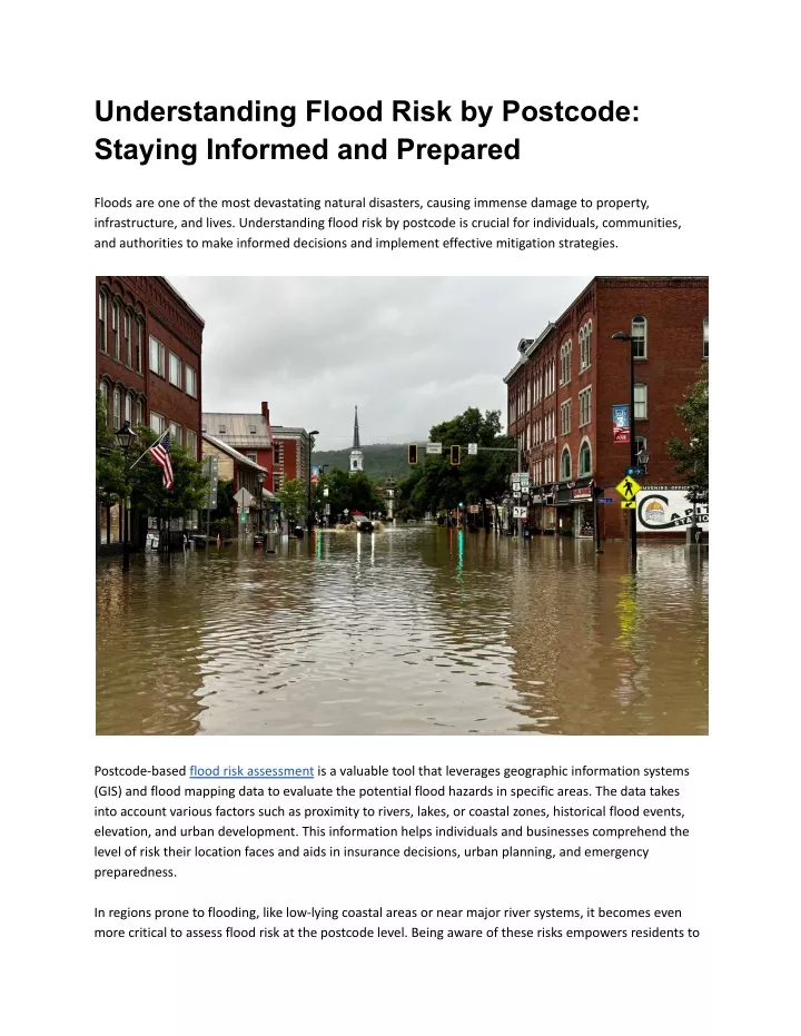
Understanding Flood Risk by Postcode: Staying Informed and Prepared Floods are one of the most devastating natural disasters, causing immense damage to property, infrastructure, and lives. Understanding flood risk by postcode is crucial for individuals, communities, and authorities to make informed decisions and implement effective mitigation strategies. Postcode-based flood risk assessment is a valuable tool that leverages geographic information systems (GIS) and flood mapping data to evaluate the potential flood hazards in specific areas. The data takes into account various factors such as proximity to rivers, lakes, or coastal zones, historical flood events, elevation, and urban development. This information helps individuals and businesses comprehend the level of risk their location faces and aids in insurance decisions, urban planning, and emergency preparedness. In regions prone to flooding, like low-lying coastal areas or near major river systems, it becomes even more critical to assess flood risk at the postcode level. Being aware of these risks empowers residents to
take proactive measures, such as elevating structures, installing flood barriers, and obtaining comprehensive flood insurance coverage. Local authorities and emergency services also rely on postcode-based flood risk assessments to develop flood management plans and response strategies. By understanding which areas are at higher risk, they can prioritize resources and allocate funds to implement flood defenses and evacuation plans effectively. The flood risk by postcode data can also be integrated into online platforms and applications, providing an easy-to-access resource for the general public. These tools allow homeowners and potential buyers to assess flood risk before making significant investments in properties. Additionally, property developers can utilize this data to make informed decisions about the suitability of land for construction projects, avoiding areas with high flood susceptibility. Moreover, educating residents about flood risk by postcode is vital in fostering a culture of resilience. Workshops, seminars, and community outreach programs can raise awareness about the potential consequences of flooding and equip individuals with knowledge on how to prepare for and respond to flood events effectively. In conclusion, flood risk assessment by postcode is a valuable resource that promotes resilience and informed decision-making at both individual and community levels. By understanding the flood risk of specific areas, people can take necessary precautions, invest wisely, and cooperate with local authorities to minimize the impact of floods. Staying informed and prepared is the key to facing this natural hazard with strength and resilience.