Download
1 / 6
60 likes | 181 Vues
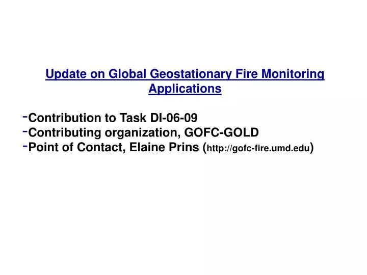
Update on Global Geostationary Fire Monitoring Applications Contribution to Task DI-06-09 Contributing organization, GOFC-GOLD Point of Contact, Elaine Prins ( http://gofc-fire.umd.edu ). -160. -120. -80. -40. 0. 40. 80. 120. 160. 80. GOES-W. GOES-E. MSG.

E N D
Update on Global Geostationary Fire Monitoring Applications • Contribution to Task DI-06-09 • Contributing organization, GOFC-GOLD • Point of Contact, Elaine Prins (http://gofc-fire.umd.edu)
-160 -120 -80 -40 0 40 80 120 160 80 GOES-W GOES-E MSG COMS (116 or 128 E), MTSAT (140 E) 60 40 20 0 -20 -40 -60 GOES-10 GOMS (76 E), INSAT (83 E), FY-2C (105 E) -80 Satellite View Angle 80° 65° Global Geostationary Active Fire Monitoring Capabilities
GOFC/GOLD Fire Monitoring and Mapping ThemeGeostationary Fire Monitoring Objective To develop an operational global geostationary fire network providing observations of active fires in near real time. Workshop on Global Geostationary Fire Monitoring Applications EUMETSAT, Darmstadt, March 23-25, 2004 Assessment: • Geostationary systems have an important contribution to make to active fire and smoke detection and characterization with applications in fire management, emissions and air quality studies, and global change research. • Geostationary systems can provide valuable diurnal information that is complementary to fire products produced by higher resolution polar orbiting instruments. • A global geostationary fire monitoring network is technically feasible, but that it must be supported by the operational agencies in order to sustain the activity and produce standardized long-term data records and fire inventories of known accuracy. • In order to demonstrate the science and show the benefits and feasibility of a global geostationary fire monitoring network, a demonstration/feasibility project was planned.
Update on Global Geo Fire Demonstration Project - UW-Madison CIMSS and NESDIS are implementing a rapid scan GOES-11/-12 Wildfire ABBA in the U.S. to show impact of high temporal geostationary fire monitoring capabilities on fire detection and suppression efforts. (Sept. ’06) - UW-Madison CIMSS is adapting the operational GOES-11/-12 WF_ABBA to Met-8 and MTSAT with an experimental version in place by September 2006. The Met-8 and MTSAT-1R WF_ABBA will become operational at NESDIS in 2007. - EUMETSAT is developing a fire energy product to become become operational in 2007. - NRL-Monterey will demonstrate the impact of assimilating all available global geostationary fire products (GOES, Met-8, MTSAT-1R) into the operational NAAPS to diagnose and predict aerosol loading and transport. (Fall ‘06) - Validation efforts are being performed in coordination with the CEOS LPV working group. 2nd Workshop on Geostationary Fire Monitoring Applications EUMETSAT, Darmstadt, December 4-6, 2006 http://gofc-fire.umd.edu/products/pdfs/Events/GOFC_GEO_Workshop_announcement_2006_final.pdf
Issues and Needs - Support/commitment from operational agencies - Need more involvement from Africa, eastern Europe, Asia, and Australia especially with the host of current and future geostationary fire monitoring capabilities in this region. (FY-2C, MTSAT-1R, INSAT-3D, GOMS Elektro N2, COMS). - Need for more systematic validation efforts to understand cross platform differences and coordinated validation activities with CEOS LPV - Need R&D in the area of fused polar and geostationary fire products with the goal of improved merged products. This includes fire location and characterization (e.g. Dozier, fire radiative energy/power) - Each platform in the global geostationary network has unique fire detection and characterization capabilities. How do we characterize these differences and create a consistent global product?
MSG 3.9 micron Fire Observations in Africa Met-8 3.9 µm observations of fire activity in Zaire and Angola: Date: 30 July 2004 Time: 0900 – 14:30 UTC The fires appear as dark hot spots. At 0900 UTC (10:00 am local time in Angola) only a few fires are evident in the image. By 11:30 am local time the fire activity begins to increase. Over the next several hours numerous fire pixels can be identified in the imagery. A number of the fires are quick burning and can only be identified in one or two images before the signal disappears. Fire pixel A is only observed at 10:30 and 12:00 UTC. Fire pixel B is evident at 11:30 and 11:45 UTC. The fire pixels labeled C only appear in the 11:30 UTC image. This example clearly shows the importance of high temporal monitoring to capture quick burning or low intensity fires in Africa.