Download
1 / 18
180 likes | 346 Vues
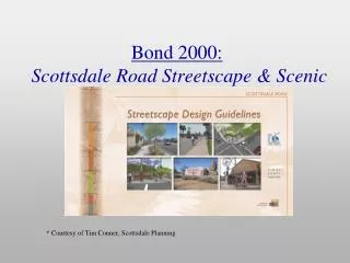
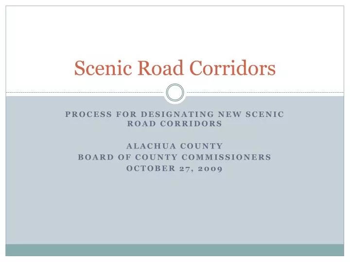
Scenic Road Corridors. Process for designating new scenic road corridors Alachua County Board of County Commissioners October 27, 2009. Scenic Road Corridors. On August 25, 2009, the Board requested: 1. Update on the process for designating a new scenic road corridor

E N D
Scenic Road Corridors Process for designating new scenic road corridors Alachua County Board of County Commissioners October 27, 2009
Scenic Road Corridors On August 25, 2009, the Board requested: 1. Update on the process for designating a new scenic road corridor 2. The status of the proposed designation of CR 225 as a new scenic road corridor
Background Scenic Road Committee was established to evaluate potential scenic road corridors and provide recommendations to the Board The Committee also reviewed and offered recommendations for requests for variances to the restrictions for existing scenic roads In February 2009, the Scenic Road Committee was dissolved and the ULDC was revised accordingly
Scenic road corridor policies and regulations • Comprehensive Plan – Conservation and Open Space Element Policy 5.3.9.2.b. establishes standards for scenic corridors • ULDC – Chapter 405, Article 9 – Scenic Road Corridors Overlay • Not a regulatory ordinance, Article 9 is a framework for evaluating requests for new designations and for adopting a binding resolution unique to each scenic road corridor
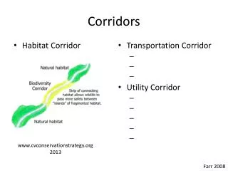
General Restrictions for Scenic Road Corridors Erecting of markers designating the corridor Prohibition on the removal of regulated trees within 100 feet of the edge of the ROW Limits on fencing and signage within the corridor Prohibition on commercial activities Prohibition of overhead utilities Setting and posting of speed limits Guidelines for maintenance The specific limitations are unique to each corridor
Proposed New Designation Process Citizen nominates a potential scenic road by completing an application: The application is submitted to the GM Department and reviewed for completeness GM initiates the staff review and distributes the packet to PW and EPD Staff prepares a report that is submitted to the Board for consideration with a request to advertise Staff prepares legal description, resolution, mails notice letters and places ad in newspaper Staff presented the request to the Board at a Public Hearing
Proposed Application Requirements Petition for Scenic Corridor designation Proof that at least 60% of property owners with frontage on the roadway support the designation Evidence of a good faith effort to contact all affected property owners Pictures of the corridor Description of how the corridor meets criteria for historical, environmental, scenic or cultural value per ULDC Section 405.36
Other concerns • Variances to the Scenic Road resolutions are approved by the Board. • Have been handled as applications without fees • Similar process fee calculated to be $$1200 • Fiscal impacts of Scenic Road Corridors designation • Report provides estimates of direct costs and staff time • Direct cost for notice letters, legal ad and signage $1,080 • Staff time 38.5 hours @$65/hour = $2,502.50 • Does not include administration time • There is no specific fund for this purpose
Proposed process acceptance With Board direction, staff will post the revised Scenic Road Corridor designation process on the County website
CR 225 Proposal Prepared by Ashley M. Wood CR 225 is 2.1 miles in length, from the intersection with CR 346 south to the County line (at SE 185 way) Application documents the Scenic significance of the corridor, Describes Historical significance, Cultural Resource significance, and was Recommended by the Scenic Road Committee including staff
Figure 13. This view is north toward the final two curves of the roadway. Sandhill cranes, eagles, hawks, osprey, and swallowtail kite, as well as many songbirds are regularly viewed along the roadway. Often deer, bears, otters, wildcats, foxes, racoons, opossums, alligators, snakes, amphibians, and other reptiles are also seen near or crossing the roadway.
Figure 3. This view is looking north, directly across from the community park and playground. The roadway follows an “S” curve, which at one time crossed the railroad tracks of the Atlantic Coast Line Railroad. The tracks were abandoned and removed in 1981.
Figure 6. This is looking north with the historic marker (right foreground) in the center of Evinston and east of the roadway. The marker is directly across the roadway from the Evinston Community Store and Post Office. The marker is frequently viewed, especially on weekends and holidays.
Figure 4. Built in 1882, the Evinston Community Store and Post Office, a National Historic Landmark, has been featured in movies, television shows, news articles and features, radio programs, photo essays, paintings, and in many personal photos. From the roadway looking west, this is an early morning scene prior to opening.
Staff Recommendation Direct staff to: Advertise and conduct the Public Hearing for adoption of a resolution designating CR 225 as a Scenic Road Corridor