Download
1 / 22
220 likes | 378 Vues
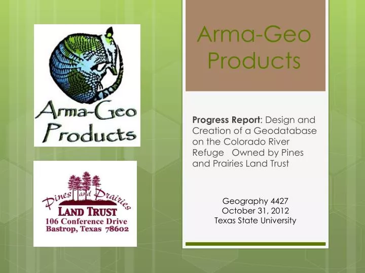
Arma -Geo Products. Progress Report : Design and Creation of a Geodatabase on the Colorado River Refuge Owned by Pines and Prairies Land Trust. Geography 4427 October 31, 2012 Texas State University. The Arma -Geo Team. Ryan Henderson: Project Manager

E N D
Arma-Geo Products Progress Report: Design and Creation of a Geodatabase on the Colorado River Refuge Owned by Pines and Prairies Land Trust Geography 4427 October 31, 2012 Texas State University
The Arma-Geo Team • Ryan Henderson: Project Manager • Dustin Sablatura: Assistant Project Manager • Veronica Suarez: GIS Analyst/Graphic Design • Marcos Montelongo: GIS Analyst/Webmaster
Purpose To update Pines and Prairies Land Trust on………. • Work completed • Work in progress • Work to be completed • Problems encountered • Future schedule and changes • Assessment of how the project is going so far • Provides great opportunity for valuable feedback
Background The non-profit organization, Pines and Prairies Land Trust (PPLT) identified a lack of geospatial and attribute data on their properties, primarily the Colorado River Refuge in Bastrop, Tx. • We have reviewed the request for proposal • Conducted a literature review • Proposed our project
Project Description • Design and construct a geodatabase for PPLT • Collect secondary and primary data on the Colorado River Refuge in Bastrop, Tx • Several trips required to collect GPS data on trails and property features within the Colorado River Refuge • Populate the geodatabase with appropriately edited data • Shapefiles • Attribute tables • Appropriate spatial reference • Metadata • Create various maps requested by PPLT • Provide PPLT with final deliverables and instructions on how to use the completed geodatabase
Project Purpose • To improve the capabilities of Pines and Prairies Land Trust • This geodatabase will serve as an inventory and management tool for PPLT • Assists in planning future projects • Access to this geodatabase gives PPLT the power to see WHAT is on the property and WHERE it is • PPLT will have the power to see attributes and descriptive data on each feature stored in the database • Data within this database will also be useful in creating customized maps for staff, board members, and visitors • This will serve as a valuable resource for PPLT that will improve their efforts in improving and preserving the natural resource that is the Colorado River Refuge
Work Completed Data Collected • Feature data has been gathered on benches, marked trees, trails, trail head signs, and focus areas, such as gardens. • Data was collected using handheld GPS equipment supplied by PPLT (I need make/model) • In addition, points for georeferencing were collected: road intersections and railroad tracks
Work Completed Data collected • Collected points were entered into an Excel spreadsheet which contained the following fields: • Point no. • Point name • Trail • Maintenance (general upkeep) • Handicap Accessibility (accessible by wheelchair) • Point type • Difficulty level • Altitude (ft) • X • Y
Work Completed Data Processed • Excel spreadsheet was imported into ArcMap 10 • Map was created with UTM 14 as the projection and NAD 83 as the Datum • Extra data from waterways and roadways were clipped from the project area • Hand drawn map from PPLT brochure was rectified to a satellite image in ArcMap.
Work in Progress • Data Collection • We are continuing to collect data throughout the rest of our study area (CRR) using both the (PPLT’s GPS) units as well as the (Department’s GPS) to contribute to our geodatabase. With our second trip to CRR the data collection will be plotted with better accuracy and more descriptions to populate the fields for the specific data collected (i.e. Walking Trails) in a data-input form below.
Work in Progress • Design Geodatabase • Remaining feature classes are being created for the geodatabase over the course of the next few weeks. Once this is completed, we are going to populate the database with the data collected from the field.
Work in Progress • Populate Geodatabase • We are continuing to populate the geodatabase manually; using the information stored on the data-input forms. Once the final geodatabase design is completed, we will use the collected data (geodatabase) to test its functionality with ArcGIS and ArcCatalog.
Future Work • Collect remaining data • Data processing • Geodatabase completion • Functionality testing • Create maps for PPLT • Interactive map (if time allows) • Prepare final deliverables
Schedule • 1. Introduction to Project • Project Overview C • Client Introduction C • Learn clients expectations for final outcome of project C • Preparation of a Proposal C 2. GIS Design/ Development • Create a working geodatabaseC • Ensure it is a user friendly and efficient system for managing our data C 3. Data Collection • Obtain any previous data from Pines and Prairies C • GPS data collection fieldwork IP • Final visit for data quality check FW 4. Data Processing • Quality check of GPS data IP • Prepare the data to be managed in the geodatabaseIP • Ensure all projections and coordinate systems are the same • for all layers C C= Complete IP= In ProgressFW= Future Work
Schedule 5. Website Development • Create a professional informative website showcasing our project FW • Incorporate an interactive map for the use of Pines and Prairies and the general public FW • Provide a more in depth look at the Colorado River Refuge than Pines and Prairies previously had FW 6. Preparation of Final Deliverables • Creation of maps from data collected FW • Final report write-up FW • Incorporate maps into completed website FW • Poster size map print-out for Colorado River Refuge kiosk FW C= Complete IP= In Progress FW= Future Work
Problems encountered • Learning how to use GPS equipment • Scheduling conflicts within the Arma-Geo team • Distance to CRR • Time required for each field work trip • Lots of hiking in various types of terrain • Poison Ivy • Inclement weather (last Friday) • So far no major issues related to data processing
Conclusion • Good progress so far! • All secondary data has been collected • Scheduling issues and inclement weather have delayed our GPS collection on site • Despite the delays the majority of our data has been collected in the field, but we do lack some features that will be collected soon in our final field work trip • Next we will import and process our remaining data, and populate the geodatabase • We will then produce various maps requested by PPLT and prepare our final deliverables for the December 10th deadline