Download
1 / 42
420 likes | 667 Vues
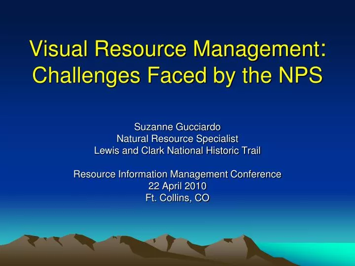
Visual Resource Management : Challenges Faced by the NPS. Suzanne Gucciardo Natural Resource Specialist Lewis and Clark National Historic Trail Resource Information Management Conference 22 April 2010 Ft. Collins, CO. Lewis and Clark National Historic Trail.

E N D
Visual Resource Management:Challenges Faced by the NPS Suzanne Gucciardo Natural Resource Specialist Lewis and Clark National Historic Trail Resource Information Management Conference 22 April 2010 Ft. Collins, CO
Lewis and Clark National Historic Trail • National Trail System Act (amended 1978) • 3,700 mile route of Corps of Discovery • Historic route • Auto tour route • Preserve trail remnants and artifacts • Administers through partnerships
Organic Act (16 USC 1) …[The National Park Service] “shall promote and regulate the use of the Federal areas… by such means and measures as conform to the fundamental purpose of the said parks, monuments, and reservations, which purpose is to conserve the sceneryand the natural and historic objects and the wild life therein and to provide for the enjoyment of the same in such manner and by such means as will leave them unimpaired for the enjoyment of future generations”
So what are visual resources? Scenery Landscape ≠ or Scenic resources Visual resources includes bothalso dark skies, air qualityrelated values
Scenic resources • Interaction of forms and concepts: • Physical set of elements visible in space • Image in the viewer’s eye • Idea in the mind, a memory, a feeling in the gut
Scenic resources • Have meaning • Aesthetics • Historic and cultural context
Increased threats to NPSscenic values • External threats • Result of actions outside boundary that impacts park • Affects views from park • Internal changes • Result from natural or management changes within park boundary • May affect both views within and into park
Land Use Change • Conversion of ag/forestry lands • Urban sprawl • Commercial development • Wal-Mart NP? • Rural residential development • Viewsheds into parks
Which park is this? Time for a quiz:
Internal Change Park-based: Wind turbines to supplement power needs Communication towers, antennas Water tanks Service roads and buildings Visitor service facilities
NPS response to visual resource issues: • NPS measures success of management by preventing “impairment” • Currently no standard practice or guidance for measuring impairment to visual resource values • No program area responsible for visual resources • On a case by case basis, may include: • Viewshed analysis • Visual simulations • Public input
Viewshed analysis • GIS based query • Spatial analyst • 3-D analyst • Choice of DTMs • TIN • DEM • Nine parameters can be set
Google tool (Hey, what’s that!) • USGS DTM • Offset for viewer height
How Good are Viewshed Tools? • Only as good as user • Even simple tools must be understood
Concerns with GIS Models • Do not account for vegetation effects • ? Overcome with Lidar data • ? Available when needed • “Casual” users versus dedicated GIS staff • Nuances may be missed and misleading
An Accuracy Assessment of Various GIS-based Viewshed Delineation Techniques • Mark A. Maloy and Denis J. Dean • Photogrammetric Engineering & Remote Sensing • Vol. 67, No. 11, November 2001, pp. 1293-1298.
Compared field survey with GIS-based predictions of viewsheds • 11 intermediate scale viewsheds west of Fort Collins, CO • Field survey • GPS primary and secondary viewpoints • Angles from viewpoints to distinctive features on boundary • Standard triangular geometry survey methods • Photography
Data sources and models • USGS data • 1:24,500 scale DTM, 30-meter resolution • 1:24,500 scale DTM, resampled to 10 meters • 1:250,000 scale DTM, ~ 81.5 meters • 1:24,500 scale Hypsography, 10-meter spacing • Single DEM model on each data set • Four TIN models on each set • 20 predictions for each of 11 viewsheds
Results • GIS produced two types of errors • Omission • Failed to detect areas surveyed within viewshed • Commission • Included areas not surveyed within viewshed • Results varied greatly among models • Mediocre results, even under best conditions
Average (across 11 viewpoints) Percent of Total Area USGS 1:24,000 scale, 30-meter
Average (across 11 viewpoints) Percent of Total Area USGS 1:24,000 scale, resampled to 10-meter
Average (across 11 viewpoints) Percent of Total Area USGS 1:250,000 scale, ~81.5-meter
Average (across 11 viewpoints) Percent of Total Area USGS 1:24,000 scale, hypsographic, 10-meter
Take Home Lesson • GIS is not sufficient for supporting decisions • Field verification of viewsheds should be standard • GIS can be misinterpreted • Park management • Public
How should NPS respond to visual resource issues? • Develop visual resource policy and program • Take advantage other agency experience • BLM • Visual Resource Management (since 1970s) • US Forest Service • Scenery Management System (since 1970s) • NPS Blue Ridge Parkway • Based on BLM VRM, must be adapted to local needs
BLM: Visual Resource Management System • Complete program • Inventory • Analysis • Mitigation • Mandated on all BLM lands • Agency mission to support multiple use on BLM lands
Forest Service: Scenery Management System • Mission to integrate forest production and multiple use
Short term response • Use best available tools wisely • Don’t rely on single method or analysis • Consult with other NPS staff or other agencies to see what works, what doesn’t • Encourage NPS management to develop guidance and standard practices