Download
1 / 17
170 likes | 257 Vues
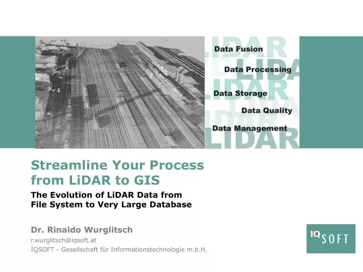
Streamline Your Process from LiDAR to GIS. Dr. Rinaldo Wurglitsch r.wurglitsch@iqsoft.at IQSOFT - Gesellschaft für Informationstechnologie m.b.H. The Evolution of LiDAR Data from File System to Very Large Database. TLS Terrestrial Laser Scanning. Challenges. big data

E N D
Streamline Your Processfrom LiDAR to GIS Dr. Rinaldo Wurglitsch r.wurglitsch@iqsoft.at IQSOFT - Gesellschaft für Informationstechnologie m.b.H. The Evolution of LiDAR Data from File System to Very Large Database
TLS Terrestrial Laser Scanning Challenges • bigdata • hugeheterogenousdatacollections • filesystemstorage • nospatialaccess • missionmanagement • qualityassurance • historiography • minimizeacquisitionexpenses • automationof • processingsteps • avoidanceof • multiple surveys ALS Airborne Laser- Scanning RLS Railborne Laserscanning
Increase Efficiency & Transparency • LiDAR • Requirements • Delivery • Storage • Processing • Analysis • Object Recognition • Visualization workflow metadata lifecylce automation metadata
Making Available … dataacquisition results mission data • Digital Aerial Images • Digital Orthophotos • Pointclouds • Trajectories • Digital Terrain Models • Mission Report • … GIS objects • Automatic • Processing • CSW catalog • Object Recognition • PointcloudExtraction • … 3D visualization
Quality Management driven by metadata data delivery datacollection result calculation requirementsdefinition data storage& preparation Process Flow • user request • process flow • handover results
Requirements Definition Requirements Definition Template Define ISO conform Metadata requirementsdefinition datacollection datastoring resultcalculation datadelivery
Up/DownloadService BLOB Geodata & Metadata Store Geodata Store Metadata Store CSW Catalog-Service • Digital Aerial Images • Digital Orthophotos • Pointclouds • Trajectories • Digital Terrain Models • Mission Report • … BLOB requirementsdefinition datacollection datastoring resultcalculation datadelivery
CSW Catalog Integration within GIS • Searching CSW and • download from geodata store requirementsdefinition datacollection datastoring resultcalculation datadelivery
remote sensing delivers railway corridor recordings • automated processing with innovative methods of object recognitionis applied to ObjectRecognition automated processing requirementsdefinition datacollection datastoring resultcalculation datadelivery
Object Recognitionexample: trackaxis/pylon recognition process mask process profile process Ransac process pylon classification requirementsdefinition datacollection datastoring resultcalculation datadelivery
Object A: track residing in rail geometry db Object C: track extracted from geodetic site plans Object B: track resultfromrecognition metadata C metadata B metadata A Object: track extraction & recognition geodata fusion inventory Integration withexistingdatae.g: railwaytrack orthophotos assets pointclouds buildings geodetic site plans track geometry ‘OneTruth‘ ‘Golden Records‘ requirementsdefinition datacollection datastoring resultcalculation datadelivery
Object: track Transfer to GIS GIS Object Creation Metadata Store GeodataStore SDO_GEOMETRY SDO_GEORASTER Georaster Processing Mosaicking references mission data & processing requirementsdefinition datacollection datastoring resultcalculation datadelivery
Object: track Interactive 3D Visualization System • Seamless Navigation • Absolute Coordinate System • Vector Data and Label Integration vector data 3D Viewer Metadata Store pointcloud stream GeodataStore requirementsdefinition datacollection datastoring resultcalculation datadelivery
Quality Management and Feedback Service requirementsdefinition datacollection datastoring resultcalculation datadelivery
content check CAD … … … geodata metadata Solution Overview geodata- processing data-storage Pointcloud Store mosaiccreation metadatacollection GIS Layer creation technical check pointcloudcreation pre-processing(extentextraction, …) ... deliverydatadownload GIS store mosaicstore WMS transformation,conversion layerstore ..… WFS WPS CSW GUI Administration system-management GIS searchanddownload
Q & A
You expect solutions from your IT-Partner.IQSOFT offers solutions for your success.