Download
1 / 20
200 likes | 204 Vues
Learn how to assess and plan for water resource management through site analysis and planning. Explore critical areas, topography, hydrologic patterns, and more. Get hands-on with a hypothetical office park development.

E N D
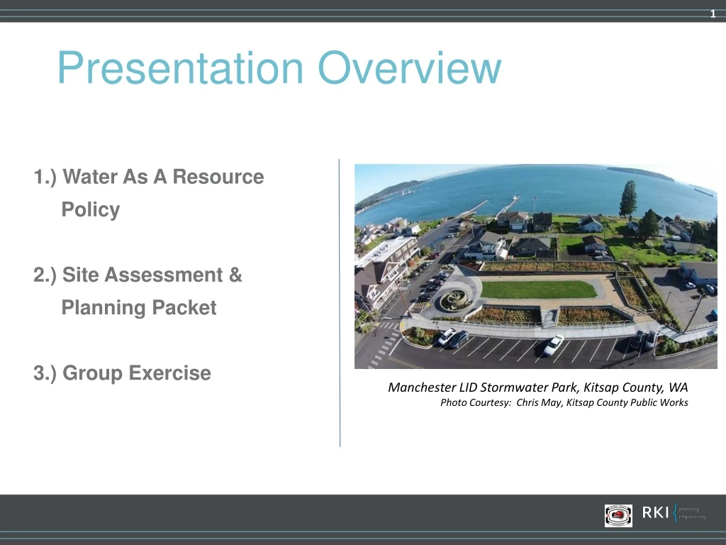
Presentation Overview 1.) Water As A Resource Policy 2.) Site Assessment & Planning Packet 3.) Group Exercise Manchester LID Stormwater Park, Kitsap County, WA Photo Courtesy: Chris May, Kitsap County Public Works
Water is a Resource NOT a Waste Stream Guiding Principals Continually Refine Management Tools to Reflect Latest Technology & Innovations Asset Development, Management, & Redevelopment Development Codes & Regulations Outreach to Staff, Customers, Citizens, & Contractors Annual Reports on Implementation & Integration Preserve Natural Hydrology Conserve Groundwater Resources Reduce Pollutant Loading of Ground & Surface Waters Maintain Natural Low Energy Flow Regime Use Land for Multiple Purposes
Site Assessment & Planning • Project Boundaries and Structures • Soils • Critical Areas • Topography • Hydrologic Patterns & Features • Vegetation • Land Use Controls • Access • Utility Availability & Conflicts
Site Assessment & Planning • Project Boundaries and Structures • Soils • Critical Areas • Topography • Hydrologic Patterns & Features • Vegetation • Land Use Controls • Access • Utility Availability & Conflicts
Hypothetical Office Park Development* *See handout packet with hypothetical information and assumptions