Download
1 / 21
210 likes | 312 Vues
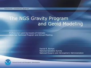
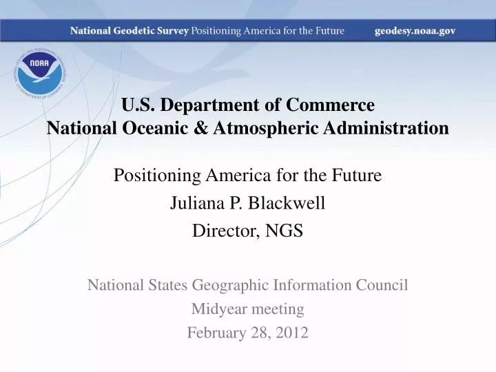
U.S. Department of Commerce National Oceanic & Atmospheric Administration. Positioning America for the Future Juliana P. Blackwell Director, NGS. National States Geographic Information Council Midyear meeting February 28, 2012. National Geodetic Survey Mission.

E N D
U.S. Department of Commerce National Oceanic & Atmospheric Administration Positioning America for the Future Juliana P. Blackwell Director, NGS National States Geographic Information Council Midyear meeting February 28, 2012
National Geodetic Survey Mission To define, maintain & provide access to the National Spatial Reference System (NSRS) to meet our Nation’s economic, social & environmental needs. • Latitude • Longitude • Height • Scale • Gravity • Orientation • Time Variations Horizontal / Vertical Control (NSRS)
The NSRS continues to evolve Positioning America in a dynamically changing world. Passive Control (Monuments) Active Control (CORS)
Continuously Operating Reference Stations (CORS) 1800+ Stations on Four Continents $1 Billion in Direct Benefits FY2011
Online Positioning User Service (OPUS) 1.5 Million Solutions since 1992 $207 Million in Estimated Benefits FY2011
Updating the NSRS over Time National Adjustment 2011 1983 to 1989
Updating the NSRS over Time National Adjustment 2011 1983 to 1993
Updating the NSRS over Time National Adjustment 2011 1983 to 1997
Updating the NSRS over Time National Adjustment 2011 1983 to 2001
Updating the NSRS over Time National Adjustment 2011 1983 to 2005
Updating the NSRS over Time National Adjustment 2011 1983 to 2011
Updating the NSRS over Time National Adjustment 2011 2011 CONUS GNSS vectors by time period collected 1983 to 1989 to 1993 to 1997 to 2002 to 2005 to 2011
Updating the NSRS over Time Shift in Horizontal and Vertical CORS Positions from 2002 to 2010 Horizontal Vertical
Modernizing the NSRS Positioning America in a dynamically changing world • New Geopotential “Vertical” Datum • New Geometric “Horizontal” Datum Estimated completion date - 2022 www.geodesy.noaa.gov
Modernizing the NSRS Height Modernization: Gravity for the Redefinition of the American Vertical Datum (GRAV-D) $4.8 Billion societal benefit
Modernizing the NSRS Building models from gravity to derive heights from GNSS Geoid12 will be released in April 2012
The NSRS Supports: Nautical charts, among many other geospatial applications National Oceanic and Atmospheric Administration Flood zones for the National Flood Insurance Program • Federal Emergency Management Agency Levee Safety Program to determine levee heights and positions United States Army Corps of Engineers Topographic Maps and water resource data for the nation United States Geological Survey NSRS gravity data for the geospatial mission of NGA National Geospatial-Intelligence Agency
F5 Tornado Tuscaloosa, AL – April 28, 2011 The NSRS Supports: Emergency Response Imagery Mobile Web application allows emergency responders to view imagery in the field Before After
The NSRS Supports: the Geospatial Infrastructure Critical to Our Economy Satellite Operations Aviation Precision Agriculture Surveying & Mapping Power Grids Trucking & Shipping TeleComm Oil Exploration Fishing & Boating Fleet Management
Upcoming Events 2012 Geospatial Summit on Proposed Improvement to the NSRS Who: GIS Community When: Sunday, July 22, 2012 Tuesday, July 24, 2012 Where: San Diego, California in conjunction with the Survey Summit and Esri User Conference For more information go to: http://geodesy.noaa.gov/2012GeospatialSummit/2012GeospatialSummit.shtml
U.S. Department of Commerce National Oceanic & Atmospheric Administration Positioning America for the Future Juliana P. Blackwell Director, NGS National States Geographic Information Council Midyear meeting February 28, 2012