Download
1 / 13
130 likes | 356 Vues
Acknowledgements. Steve Bennett (SCDNR)John Nelson (USC)Ralph Willoughby (SCGS)Bill Clendenin (SCGS)Melissa Batty (SCGS/USC)Norm Brunswig (ASC)Hank Stallworth/Ann Nolte (SCDNR)Lauren Felker and other students at USCCharleston Natural History SocietyColumbia Audubon SocietyResearch funded by SCDNR, ASC, CAS.

E N D
1. Hydrologic Study of Seepage Wetlands on the SC Coastal Plain Turkey Creek Cooperators meeting
27 February 2008
Dan Tufford, Ph.D.
University of South Carolina
tufford@sc.edu
2. Acknowledgements Steve Bennett (SCDNR)
John Nelson (USC)
Ralph Willoughby (SCGS)
Bill Clendenin (SCGS)
Melissa Batty (SCGS/USC)
Norm Brunswig (ASC)
Hank Stallworth/Ann Nolte (SCDNR)
Lauren Felker and other students at USC
Charleston Natural History Society
Columbia Audubon Society
Research funded by SCDNR, ASC, CAS
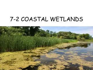
3. Seepage wetlands Occur at or near the base of slopes and bluffs
Typically at the outer edge of a stream corridor
Primary water source is emerging subsurface water
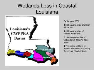
5. Seepage wetlands Hydrogeomorphic setting is fairly common on the Coastal Plain
Occurrence of the wetlands is largely unknown
Can be a dominant feature
6. Seepage wetlands Research in similar systems suggests importance to local and regional biodiversity, water quality, hydrology
Not much work directed specifically at these wetlands
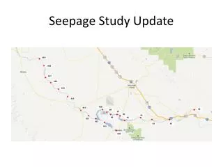
7. Seepage wetland study Two sites initially:
Beidler Forest and Wannamaker Nature Preserve
Two more 2nd year
Beidler Forest and Singleton Plantation
Two seeps at each site
Herps, flora, hydrology, water quality
Spatial and temporal variability
Seasonal and interannual
Precipitation response
8. Instrumentation
9. Water table profile - winter
10. Water table profile - summer
11. Temperature profiles BF01 BF04
12. Beidler Forest (Four Holes Swamp) sites Seeps and springs emerge along the top of the Ashley Formation, part of the Cooper Group limestone (based on Weems et al 1997)
13. Calhoun County sites Seeps and springs emerge near the base of the Congaree Formation; overlays Lang Syne Formation (clayey sand) in much of the area (based on Willoughby 2003)
14. What next? Differences among seeps
Objective metric(s) for discrimination
Better understanding of:
Temperature dynamics
spatial and temporal
Prevalence of seeps on the Coastal Plain
3D water profiles
Water source
Role of soils in water and water quality
Develop habitat model(s)