Download
1 / 15
150 likes | 153 Vues
This paper discusses the current status and progress of typhoon forecasts at the Japan Meteorological Agency (JMA). It explores the use of numerical prediction models and ensemble prediction systems to improve the accuracy and extend the forecast range up to 5 days. The paper also highlights the optimization of the probability circle and the difference in typhoon intensity forecasts using the 20km Global Spectral Model (GSM).

E N D
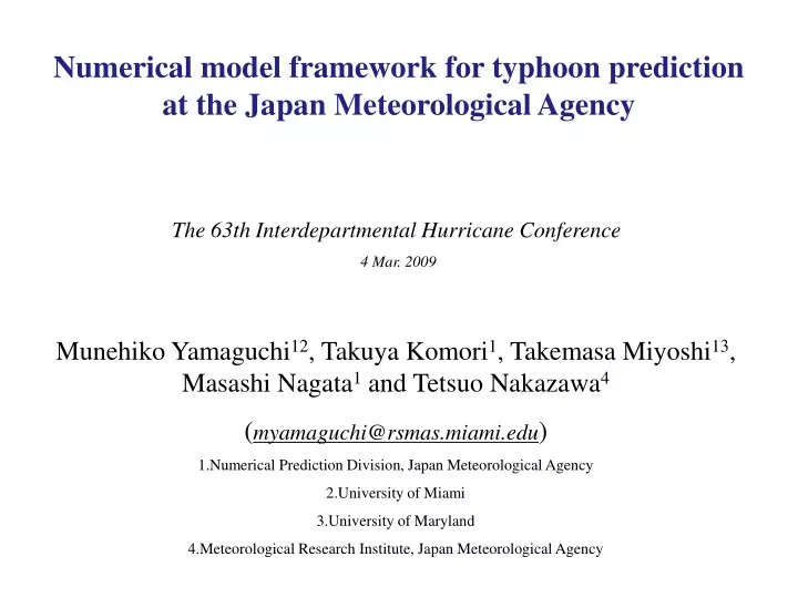
Numerical model framework for typhoon prediction at the Japan Meteorological Agency The 63th Interdepartmental Hurricane Conference 4 Mar. 2009 • Munehiko Yamaguchi12, Takuya Komori1, Takemasa Miyoshi13, Masashi Nagata1 and Tetsuo Nakazawa4 • (myamaguchi@rsmas.miami.edu) • Numerical Prediction Division, Japan Meteorological Agency • University of Miami • University of Maryland • Meteorological Research Institute, Japan Meteorological Agency
Present status of typhoon forecasts at JMA Probability circle T+72h T+48h T+24h T+12h JMA issues forecasts up to 3 days as of 2008. We plan to extend the forecast range up to 5 days.
The position error of 5 day forecasts in 2007 is smaller than that of 3 day forecasts in 1997. Progress behind the planned 5 day forecasts Time series of annual average position errors inTropical Cyclone (TC) Track Forecasts by the JMAGlobal Spectral Model - Western North Pacific from 1997 to 2007 (three-year running mean) -
Time line of the upgrade of the systems Topography of 20kmGSM Topography of TEPS 20kmGSM: JMA Global Spectral Model. TYM: Typhoon Model. WEPS: One-Week Ensemble Prediction System. TEPS: Typhoon Ensemble Prediction System.
Two NWP systems supporting the forecasts • 20kmGSM (deterministic track and intensity forecast) • 20km GSM runs 4 times a day (00, 06, 12 and 1800 UTC) with a forecast range of 90 hours except for 12UTC where it is 216 hours. • The data assimilation system is the 4DVAR, which has been in operation since 2005, and a typhoon bogus technique is used. • Typhoon Ensemble Prediction System (deterministic track forecast for the extended forecast period and confidence information on track forecast) • TEPS uses the lower resolution version of 20kmGSM (TL319L60) • TEPS also runs 4 times a day with a forecast range of 132 hours for TCs in the responsibility area of RSMC Tokyo TyphoonCenter. • The ensemble size is 11 and singular vectors are used to make initial perturbations.
Typhoon Bogus Technique Step1.Create a typhoon structure, considering the asymmetry, based on TC central position, central pressure and the radius of 30kt wind, which are analyzed by forecasters at JMA. Step2.Pick up points from the created structure (orange dots) and assimilate them in the 4DVAR assuming that they are observation data. TC central position, central pressure and the radius of 30kt wind analyzed by forecasters at JMA are reflected into the initial state of 20kmGSM
Performance of the two systems TEPS of 2007 (quasi-operation) TEPS of 2008 (operation) 20kmGSM of 2008
TEPS provides better deterministic forecasts Ensemble mean track forecasts statistically have smaller position errors than those of control run. The error reduction is about 40 km at 5-day forecasts, which reduction corresponds to the gain of half a day lead time. Verification of track forecasts1verification period: May to Dec., 2007 Black line: Control run Red line: Ensemble mean2 Black dots: number of sample 1. The TC strength of L is not included in this verification 2. Ensemble mean tracks are defined using more than 1 ensemble member
TEPS provides confidence information Strong relationship between ensemble spread and position error of ensemble mean track forecasts Number of sample1: 149 1.The TC strength of L is included in this verification 2. Ensemble mean tracks are defined using more than 1 ensemble member Position Errors of Ensemble Mean at 5-day forecasts (km) Ensemble spread of TC positions2 (ensemble spread accumulated from 0 to 120 hours forecasts every 6 hours)
Optimization of the probability circle The ensemble spread of TEPS would allow us to convey confidence information by optimizing the size and shape of the probability circle. The development of an application is now under way. Initial time: 2007.09.2 18UTC Initial time: 2007.07.29 00UTC Confidence: C Confidence: B Confidence: A Confidence: A
TEPS in 2008 20kmGSM TEPS Control Member (TL319L60) TEPS Ensemble Mean (TL319L60) TEPS Control is much worse than 20km GSM. The benefit of Ensemble Mean with respect to the control had gone…
What is the difference of TEPS between 2007 and 2008 ? 20kmGSM TEPS Control (interp.) TEPS Test (interp. + 4 DVAR) In 2007, the model and data assimilation has the same horizontal resolution, TL319. In 2008, the analysis field for TEPS was created by interpolating the analysis field with a horizontal resolution of 20km, which might cause an unbalanced state in the initial field of TEPS. Miyoshi et al. (2009) showed that the track forecast of TEPS Control has improved by applying the 4DVAR to the interpolated analysis field, which is a TL319L60 resolution. Compared to the 4DVAR for 20kmGSM, the computer resources for the above 4DVAR is negligible.
Intensity forecast by 20km GSM (2008) • Definition of development stage, maturation stage and dissipation stage is based on the differences of central pressures from initial time to the forecast time of 72 hours: development stage: -10hPa > ⊿P maturation stage: -10hPa < ⊿P < 10hPa dissipation stage: ⊿P > 10hPa
Summary • JMA will extend the forecast range from 3 days to 5 days. • Typhoon EPS will support the extended forecast range. • TEPS will be useful in presenting confidence information on track forecasts. (an application is under development) • The deterioration of the control forecasts of TEPS in 2008 would be solved by another 4DVAR for a TL319L60 resolution. • For the intensity forecasts by 20kmGSM, there is a room for improvement, especially for the forecasts of tendency of intensity changes.