Download
1 / 14
140 likes | 316 Vues
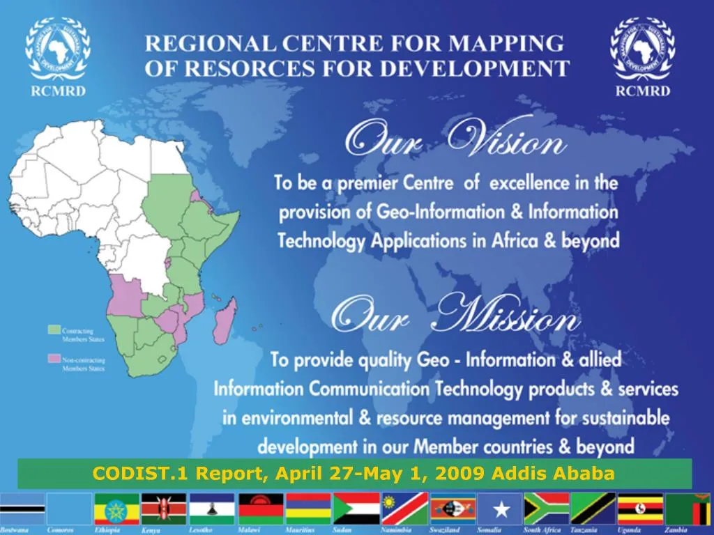
. Main Services Provided:Training Services: Geoinformation and IT applications,Project Services: at Local, Regional and Continental levels, Advisory Services: mainly to member States, Research and Development: both applied and fundamental researches, Engineering Services: maintenance,

E N D
2.
Main Services Provided:
Training Services: Geoinformation and IT applications,
Project Services: at Local, Regional and Continental levels,
Advisory Services: mainly to member States,
Research and Development: both applied and fundamental researches,
Engineering Services: maintenance, repair and calibration of Survey and mapping equipments,
Spatial Data: acquisition, archiving and dissemination and
Disaster early warning and forecasting: Disaster early warning (flood, draught, epidemic diseases, etc. )
3. 1. Training
During the last two year, over 700 professionals were trained
The type of geoinformation training offered varies from Basic to Advanced
Regular programmes
GIS and cartography
RS and photogrammetry
Database management
GPS
LIMS
IT
Tailor made programmes
On water management
Forest mapping
Environmental impact assessment
Disease mapping
Health Information Management System
Disaster management
4. 2. Major Projects Implemented During the Last two Years
5. 2. Major Projects Implemented Cont�
7. 3. Advisory Services Provided to Member States
8. 4. Research and Development Activities
9. 5. Engineering Services Provided
10. 6. Spatial data acquisition and dissemination services Satellite images:
Landsat data starting 1974 to 2003 were distributed
SPOT data
ASTER data from Terra
MODIS Terra data
EO-1 data (Hyper and multi-spectral data)
MERIS, ASAR and ATSAR data from Envisat
QuickBird, Ikonos,
MSG data and products (fPAR, NDVI, VI, WRI, etc.)
Products from consultancy projects and research works
Soil map, administration maps, road network map, land use, vegetation, etc..
11. Data Dissemination Cont.. Geonetwork (FAO Node)
Data and metadata uploading and dissemination
Agricultural data (both aspatial and spatial) dissemination
WFP Node
Data on food security
DDS (Data Dissemination System
MERIS and ASAR data (every six hours)
Geonetcast receiving and transmission station
SERVIR-Africa Project is put in place for free geospatial data dissemination using data portal
13. SERVIR-Africa main scope is: Capacity building, regional visualization and monitoring and application development project:
In data acquisition, archiving and dissemination
Disaster Early warning and management
Data Processing and modeling
Development of various applications
Biodiversity
Forest fire
Epidemic cases
Flooding
Food security
Land management
Etc.