Download
1 / 24
250 likes | 422 Vues
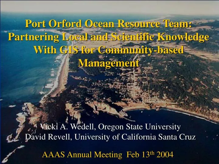
Port Orford Ocean Resource Team: Partnering Local and Scientific Knowledge With GIS for Community-based Management. Vicki A. Wedell, Oregon State University David Revell, University of California Santa Cruz. AAAS Annual Meeting Feb 13 th 2004. Today’s Presentation. Background

E N D
Port Orford Ocean Resource Team: Partnering Local and Scientific Knowledge With GIS for Community-based Management Vicki A. Wedell, Oregon State University David Revell, University of California Santa Cruz AAAS Annual Meeting Feb 13th 2004
Today’s Presentation Background • Physical setting • Management Context • The Port of Port Orford • Port Orford Ocean Resource Team Participatory GIS Research Design and Methods • Local knowledge interviews • Data Aggregation • Initial results • Conclusions
Port Orford... Latitude/Longitude: 42 44 45 N / 124 29 46 W Cape Blanco Coos Bay Charleston Oregon Port Orford Bandon Port Orford Port Orford Dock Gold Beach www.pcouncil.org Active Tectonics Lab, OSU
Current Management Context • 1996 Sustainable Fisheries Act (MSFCMA) • Standard 8: we must assess impacts to fishing communities • Issue of scale • Pacific groundfish crisis (NOAA Fisheries Jan 2000) • Quota reductions • 50% capacity reduction • 100-250 fathom in-season shelf closure Port Orford
The Port Orford Fishing Community • Small scale fishing-dependant community • ~40 vessels (<45 feet) • 100-150 people involved in commercial fishing (10-15% of population) • 40 fishing families • No Coast Guard Station 73% of interviewees participate in 4-7 different fisheries
Changes caused by Mgt. Regulations Current Fisheries Executed
Local Advisory Board Science Advisory Committee Project Manager Communications Coordinator The key to our success! Port Orford Ocean Resources Team(POORT) POORT Vision: A sustainable fishery that combines the best science and local experiential knowledge for the community to make local fishery management decisions.
From Vision to Results… Science and Management ?s Spatial data to answer ?s Existing New Interviews Coop. Research Basemaps Substrate Fish Counts Urchins Etc… Socio-econ. Biological
ODFW Nearshore Rocky Reef Project (1997-2000) http://www.coastalatlas.net Some Coastal Atlas layers… 1996 ODFW Fish Survey Seafloor Mapping Lab, OSU NOAA Nautical Charts
Groundfish Fleet Restructuring and Information Analysis Project High resolution case study of Port Orford GIS Layers Conceptual Model
Pilot interview and community presentation Validation interviews with participants Community validation workshop Create base maps and interview protocol Incorporate edits and create final inventory maps Conduct LKI with community members Transcribe and digitize individual interviews Aggregate individual maps into draft inventory Documenting Local Knowledge In progress
GIS base maps: communication & process tool • Nautical charts • Fathom contours • Local place names • –focus group
Local knowledge interviews • Confidentiality Agreements • Semi-structured interviews • Demographics & vessel information • Distribution of human uses • Relative economic importance • Distribution of species and resources • Open microphone • Location information recorded • Drew on acetate overlays • Verbally referenced place name • Depth delineated areas
LKI Participants 33 interviews with 36 people 24 Commercial fishermen 2 Divers 3 Recreational fishermen 3 Buyers 4 Recreationalists 2 Scientists Average age: 51 years Average experience: 20+ years 31 males: 5 females
Port Orford commercial fishermen • ~50% Port Orford vessels represented, average length: 34 feet • 17 owners and/or captains • 7 deckhands • 524 years combined experience • 24 years average experience • 7 second-generation fishermen • 1 third generation fisherman • 20/25 work a combined total of over 2200 days/year on the ocean, presently averaging ~120 days/year
Data aggregation • Convert vector data into 30 m grid • Assigned grid cell value of 1 for polygon presence and 0 for absence • Cumulative totals for each grid cell • Nearest neighbor analysis (6 cell focal mean) to smooth the data. • Data classified using an equal area distribution of 7 classes and re-categorized into Low, Medium, and High usage. Thanks to our partners at Ecotrust, especially Charles!
Salmon PO
Halibut High Spot PO
Sablefish (aka black cod) Bandon High Spot PO Canyon
Relative economic importance of sablefish High Spot Canyon
Conclusions • To meet requirements of the Sustainable Fisheries Act 1996 Standard 8, we need to address community issues at the community level. It comes down to a matter of scale. For Port Orford 150m is appropriate. • Local knowledge interviews are a successful tool to understand a fishing community, its resources, and dependence on various areas. • Coupling scientific and local knowledge in GIS is a powerful way to support community management objectives. • Spatial representation of human uses, economic dependence, and species distribution can guide area-based management strategies including: local area management and/or the selection of less controversial areas for MPAs.
Next Steps for POORT Phase II • More in depth economic surveys and spatial analysis • Cooperative research projects: port sampling and genetic research Future Phases: • Develop a management plan and long-term monitoring program • Examine Substrate/Species Relationships
Thank You • Funders: • Cooperative Institute for Marine Resources Studies • Environmental Defense • NOAA Cooperative Research • Penny Family Fund • Oregon Coastal Management Program Ocean Enhancement Grant • Data: • ODFW • Coastal Atlas • Dr. Chris Goldfinger Lab – OSU • Ecotrust Partners: • Port Orford Ocean Resources Team • Port Orford Community • Terra Cognita – OSU GIS lab • Pacific Marine Conservation Council • Surfrider Foundation