Download
1 / 32
330 likes | 450 Vues
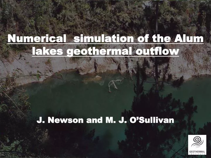
Numerical simulation of the Alum lakes geothermal outflow. J. Newson and M. J. O’Sullivan. BACKGROUND. Part of a study on simulation of geothermal surface features If water is taken by geothermal wells, is there less for the springs? What about heat? Is this important?

E N D
Numerical simulation of the Alum lakes geothermal outflow J. Newson and M. J. O’Sullivan
BACKGROUND • Part of a study on simulation of geothermal surface features • If water is taken by geothermal wells, is there less for the springs? • What about heat? • Is this important? • Used data from Alum Lakes, Wairakei
Pirorirori (Alum Lake) • Ceased flowing in late 1990’s • Photo taken Nov 2004
AVAILABLE DATA • Mass flow (including streamflow) • Temperature • Chemistry • Water level (recent)
3 SPRINGS WITH DATA Pirorirori
RESERVOIR SIMULATION • Simulator that represents heat and mass flow in porous and fractured media (rocks) • Two phase (steam, water, water vapour, and air) TOUGH2
RESERVOIR SIMULATION: GRID Design a 2-D or 3-D block structure that will represent the system:
VERTICAL SECTION Alum Lakes 0 mrsl Te Mihi Western Borefield Eastern Borefield
RESERVOIR SIMULATION: PARAMETERS Give each block properties such as permeability, porosity, thermal conductivity… SURFACE FOLLOWS TOPOGRAPHY Pirorirori Butterfly Spring Lower Devil’s Eyeglass
RESERVOIR SIMULATION: B.C.’s 10% AV. ANN. RAINFALL Assign boundary conditions: SIDE BOUNDARIES CLOSED HOT WATER HEAT
RUNNING A RESERVOIR SIMULATION • Simulator calculates the temperature and pressure at the centre of each block • T & P differences lead to flows between blocks • Control the flows by changing the permeability and porosity in each block
RESERVOIR SIMULATION TELLS US: • If the hypothesis is possible • Possible permeability, porosity distribution • Information about the subsurface flow paths • Information on the future behaviour of the system
NATURAL STATE MODEL • Reservoir temperature vs depth for Wairakei before production (1953) • the mass flow data for Alum Lakes
NATURAL STATE MODEL Alum Lakes: mass flow data (kg/s) Eastern Borefield
PRODUCTION PERIOD MODEL • Use the natural state model as a starting point for production simulation • Check the response of the Alum Lakes in the model, compare with known fiels data (mass flow over time) • Production enthalpy, and reservoir pressure for the Wairakei borefields
Eastern Borefield PRODUCTION HISTORY Western Borefield Enthalpy time history Reservoir pressure time history
NATURAL STATE LIQUID FLOWS PIRORIRORI BUTTERFLY SPRING LOWER DEVIL’S EYEGLASS
NATURAL STATE GAS FLOWS PIRORIRORI BUTTERFLY SPRING LOWER DEVIL’S EYEGLASS
1975 LIQUID FLOWS PIRORIRORI BUTTERFLY SPRING LOWER DEVIL’S EYEGLASS
1975 GAS FLOWS PIRORIRORI BUTTERFLY SPRING LOWER DEVIL’S EYEGLASS
2003 LIQUID FLOWS PIRORIRORI BUTTERFLY SPRING LOWER DEVIL’S EYEGLASS
SUMMARY • Behaviour of Alum Lakes Flows linked to reservoir changes • Low permability zones control the shallow subsurface flow • Groundwater now flows down into the reservoir • Groundwater diverted from Alum Lakes springs, and from flowing further eastward
FUTURE WORK • Model chloride component • Model the water level change