Download
1 / 13
140 likes | 287 Vues
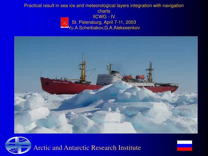
Practical result in sea ice and meteorological layers integration with navigation charts IICWG - IV St. Petersburg, April 7-11, 2003 Yu.A.Scherbakov,G.A.Alekseenkov. Arctic and Antarctic Research Institute. Why ECDIS & ICE ?.

E N D
Practical result in sea ice and meteorological layers integration with navigation charts IICWG - IVSt. Petersburg, April 7-11, 2003Yu.A.Scherbakov,G.A.Alekseenkov Arctic and Antarctic Research Institute
Why ECDIS & ICE ? • According to the last edition of SOLAS both traditional paper navigation charts and the ECDIS will have the same status. • It is easier for navigators to have all kind of information in one place(ECDIS),no other inputs(Fax,pictures,telex,etc) Arctic and Antarctic Research Institute
The major goals • To find the concerned ECDIS developers • To develop technology for the ice navigation support using ECDIS • To test technology under the real ice conditions. Arctic and Antarctic Research Institute
Ice Navigation Support AARI File Translator Ice && Meteo Information Morintech AS Icebreakers && Transport Ships Communication means Arctic and Antarctic Research Institute
Sea Ice Charts • Analysis Ice Chart • Sea Ice Forecast * Arctic and Antarctic Research Institute
Analysis sea Ice chart construction • Interactive ice mapping Arctic and Antarctic Research Institute
Analysis Sea Ice chart conversion • Analysis sea ice chart = spatial && attribute components • From ArcView to dKart Arctic and Antarctic Research Institute
ECDIS(dKart Explorer) && Ice Arctic and Antarctic Research Institute
Means of Communication • Gonets(global coverage, low cost, low rate of transmission ) • Inmarsat • GlobalStar * • Etc Arctic and Antarctic Research Institute
Near-real time Ice Navigation support • 18 ice charts where transmitted • The maximum size of one chart does not exceed 50 kb Arctic and Antarctic Research Institute
Meteorological Data Source • FM-12/13 SYNOP/SYNOP SHIP • FM-18 DRIFTER(BUOY) • FM-92 GRIB • FM-46 SURFACE ANALYSIS Arctic and Antarctic Research Institute
Surface analysis charts components • Observation data • Pressure reduced to mean sea level field • Pressure tendency field • Temperature field Arctic and Antarctic Research Institute
Problems • A lot of ECDIS developers • No possibility for direct use of S57 standard for hydro-meteorological information • No standard terms to display the ice and hydro-meteorological information under ECDIS environment • No easy available global-coverage communication means • What else ? Arctic and Antarctic Research Institute