Download
1 / 6
60 likes | 201 Vues
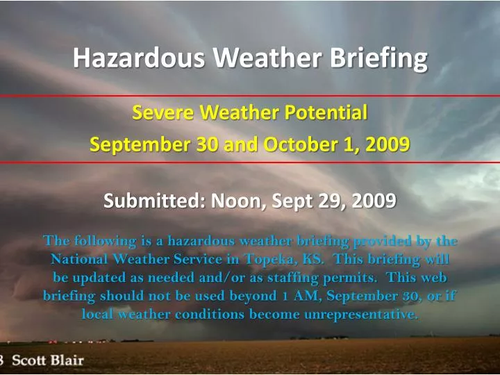
Hazardous Weather Briefing. Submitted: Noon , Sept 29, 2009. Severe Weather Potential September 30 and October 1, 2009.

E N D
Hazardous Weather Briefing Submitted:Noon, Sept 29, 2009 Severe Weather Potential September 30 and October 1, 2009 The following is a hazardous weather briefing provided by the National Weather Service in Topeka, KS. This briefing will be updated as needed and/or as staffing permits. This web briefing should not be used beyond 1 AM, September 30, or if local weather conditions become unrepresentative.
IMPACTS • Wednesday Evening/Overnight: • Large Hail the primary threat • Isolated Damaging Winds • Thursday • Large Hail the primary threat • Damaging Winds • Tornadoes (mainly afternoon)
TIMING • Wednesday Night • Elevated thunderstorms may produce large hail. • Thursday • Likely early morning hail threat • 2nd round of severe afternoon storms with hail, wind, and tornadoes possible • Uncertainty in exact timing and evolution
Storm Prediction Center Outlook www.spc.noaa.gov Wednesday Severe Weather Outlook % Chance of Severe Weather
Storm Prediction Center Outlook www.spc.noaa.gov Thursday Severe Weather Outlook % Chance of Severe Weather
OVERVIEW • Large hail possible Wednesday night • 2nd round of severe weather possible on Thursday • Large hail, damaging winds, and tornadoes possible • Likely beginning as isolated supercells • Transitioning to fast moving squall line • Fall severe weather is not uncommon ALWAYS BE PREPARED!