Download
1 / 34
340 likes | 487 Vues
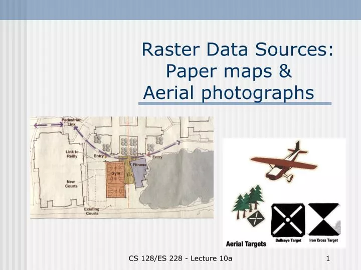
Raster Data Sources: Paper maps & Aerial photographs. Georgian’s First Law of GIS. Try to use somebody else’s data before you even think of generating your own. Data sources: overview. Raster sources: Paper maps Aerial photographs Satellite images Vector sources: Digitized maps

E N D
Raster Data Sources:Paper maps & Aerial photographs CS 128/ES 228 - Lecture 10a
Georgian’s First Law of GIS Try to use somebody else’s data before you even think of generating your own. CS 128/ES 228 - Lecture 10a
Data sources: overview Raster sources: • Paper maps • Aerial photographs • Satellite images Vector sources: • Digitized maps • Surveying • Global positioning system CS 128/ES 228 - Lecture 10a
Paper maps CS 128/ES 228 - Lecture 10a
Using paper maps in a GIS • Scan to image file (usually JPEG or GIF) • Georeference the image to the GIS coordinate system • (If desired) digitize the features in the image to generate 1+ vector layers CS 128/ES 228 - Lecture 10a
Georeferencing raster images • Spatial coordinates may be absent or purely map coordinates (i.e. inches from one corner) • Control points: point features visible on both the image and the map • Linear or nonlinear transformations • “Rubber sheeting” CS 128/ES 228 - Lecture 10a
Affine transformations • Translation • Rotation • Scaling • Skew CS 128/ES 228 - Lecture 10a
Georeferencing in ArcMap - 1 CS 128/ES 228 - Lecture 10a
Georeferencing in ArcMap - 2 CS 128/ES 228 - Lecture 10a
Georeferencing in ArcMap - 3 CS 128/ES 228 - Lecture 10a
Georeferencing in ArcMap - 4 CS 128/ES 228 - Lecture 10a
Georeferencing in ArcMap - 5 CS 128/ES 228 - Lecture 10a
Georeferencing in ArcMap – 5b CS 128/ES 228 - Lecture 10a
Georeferencing in ArcMap - 6 CS 128/ES 228 - Lecture 10a
Georeferencing in ArcMap - 7 CS 128/ES 228 - Lecture 10a
Georeferencing in ArcMap - 8 CS 128/ES 228 - Lecture 10a
Georeferencing in ArcMap - 9 CS 128/ES 228 - Lecture 10a
Digitizing raster layers Digitizing table • high resolution (0.001”) • either point or stream mode • paper shrinkage/ expansion • data in “table coordinates” – need to convert to map coordinates CS 128/ES 228 - Lecture 10a
“Heads up” digitizing Tracing on computer monitor: • many scanned (raster) file formats supported • poorer resolution, but uses less specialized equipment • best for adding small # features or updating a file • uses coordinate system of image or base map CS 128/ES 228 - Lecture 10a
Aerial photographs • HUGE amount of detail • VAST number of photographs are available, often for free • Digitizing and photo-interpretation can produce vector layers and attribute data CS 128/ES 228 - Lecture 10a
Photogrammetry • Originally, the science (or art?) of interpreting aerial photographs • Stress on quantitative measurements • Now includes analysis of digital images from many sources Image from Avery. Interpretation of Aerial Photographs. CS 128/ES 228 - Lecture 10a
Scale Determine from: • Plane altitudeRF = lens focal length altitude of plane • Known ground features Top image from Avery. Interpretation of Aerial Photographs. Bottom images from Ben Meadows catalog (L), Olean NW DOQQ ® CS 128/ES 228 - Lecture 10a
Perspective • Vertical:- orthogonal perspective- planimetric map data • Oblique: - high oblique (includes horizon) - low oblique (no horizon) Image from Avery. Interpretation of Aerial Photographs. CS 128/ES 228 - Lecture 10a
Planimetric view • Perfectly vertical (orthogonal) perspective • All features in correct horizontal positions • Impossible unless at infinite height CS 128/ES 228 - Lecture 10a
The principle point • Point directly under camera lens (‘nadir’) • Elevated objects lean away from PP • Depressed objects lean toward PP • Causes horizontal image displacement Images from Avery. Interpretation of Aerial Photographs. CS 128/ES 228 - Lecture 10a
Vertical relief -> displacement • Transmission line is straight - why does the line appear straight in one photo and jagged in the second? • In left photo, line is ~ on nadir; in right photo, the line is far from nadir Image from Avery. Interpretation of Aerial Photographs. CS 128/ES 228 - Lecture 10a
Image displacement: • Source of error in horizontal locations, but • Permits estimation of feature elevations stereoscopic parallax Image from Avery. Interpretation of Aerial Photographs. CS 128/ES 228 - Lecture 10a
Stereoscopic photo pairs Image from Avery. Interpretation of Aerial Photographs. CS 128/ES 228 - Lecture 10a
Stereoscopes • need pair of overlapping photos • different principle points results in parallax • used to create topographic contours CS 128/ES 228 - Lecture 10a
Rectification of aerial photographs Rectification: process of geometric correction that turns an aerial photograph into a planimetric (map-like) image Problems: • Earth curvature • lens distortion • camera tilt • terrain relief CS 128/ES 228 - Lecture 10a
Rectification process • Scan aerial photograph at high resolution • Locate ground control points on scanned image: ≥3 for affine transformation ≥5 for rubbersheeting • Combine with digital elevation model (DEM) to correct relief displacement • Rectify to a ground coordinate system CS 128/ES 228 - Lecture 10a
Relief distortion Objects at different distances form the lens will be distorted CS 128/ES 228 - Lecture 10a
Urban areas: building tilt In urban areas, tall buildings seem to lean toward the principal point of the photograph Corrected by building a digital terrain model (DTM) of each building Permits virtual reality “flyovers” Thorpe, A. Digital orthophotography in New York City. www.sanborn.com/Pdfs/Article_DOI_Thorpe.pdf CS 128/ES 228 - Lecture 10a
Result: digital orthophotograph • USGS: DOQQs • NYS GIS Clearinghouse • Or, new aerial photos & image rectification ($$$) Wind Cave N P Vegetation Survey? Sure (tax $$) CS 128/ES 228 Course Project? No!!! CS 128/ES 228 - Lecture 10a