Download
1 / 10
100 likes | 342 Vues
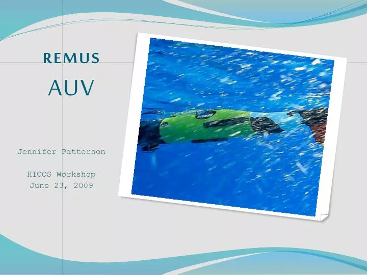
REMUS AUV. Jennifer Patterson HIOOS Workshop June 23, 2009. Discussion Points. Overview Website Products Final Year Plan. Overview. South Shore Water Quality Monitoring. Monthly missions: monitor South Shore water quality focusing on the Ala Wai Canal outflow plume

E N D
REMUS AUV Jennifer Patterson HIOOS Workshop June 23, 2009
Discussion Points • Overview • Website • Products • Final Year Plan
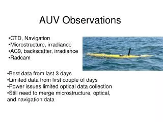
Overview South Shore Water Quality Monitoring Monthly missions: monitor South Shore water quality focusing on the Ala Wai Canal outflow plume Event-focused missions: survey during significant rainfall events Salinity, Temperature, Backscatter, Chlorophyll, Current Velocity, Side scan vs latitude, longitude and depth Data products are available via the Kilo Nalu website (‘AUV surveys’)
Overview Baseline Ala Wai Canal Survey • ONR funded surveys • Test Survey • Ala Wai Research Group – Grieg Steward 24hr sampling • Salinity, Temperature, Backscatter, Chlorophyll
Overview Event Surveys - Email Alert System Program runs every hour, checks latest data from: - Rain gages - Stream flow gages - Salinity + Temperature at NS01 and NS02. Sends out warning message via email or text Useful tool for us and for stakeholders (AWRG, Sea Engineering)
Website Mission Description Ancillary data plots: USGS Manoa Rain Gage USGS Manoa Stream Gage NOAA Honolulu Harbor Water Level, Wind REMUS Salinity Temperature Backscatter Chlorophyll
Products Developed with input from principle stakeholders: Ala Wai Research Group, Sea Engineering Inc., City and County Environmental Services Mission Summary Ancillary Data Include ancillary data from other groups like Kilo Nalu and HIOOS water quality buoys
Products CTD and WetLabs BB2F Layer and profile plots : Salinity, Temperature, Backscatter, Chlorophyll TS profile plots
Products ADCP • Overlay current vectors on layer plots • Profiles • Surface currents • HF radar validation/spatial context Potential to use current data for HF radar spatial comparison / Use applicable parameters for near-shore model validation
Final Year Plan • Continue monthly surveys • Up to 3 event based surveys • Coordinate / integrate feedback from stakeholders (C&C, Sea Engineering, AWRG) • Explore new user applications (side scan, water quality)