Download
1 / 17
170 likes | 273 Vues
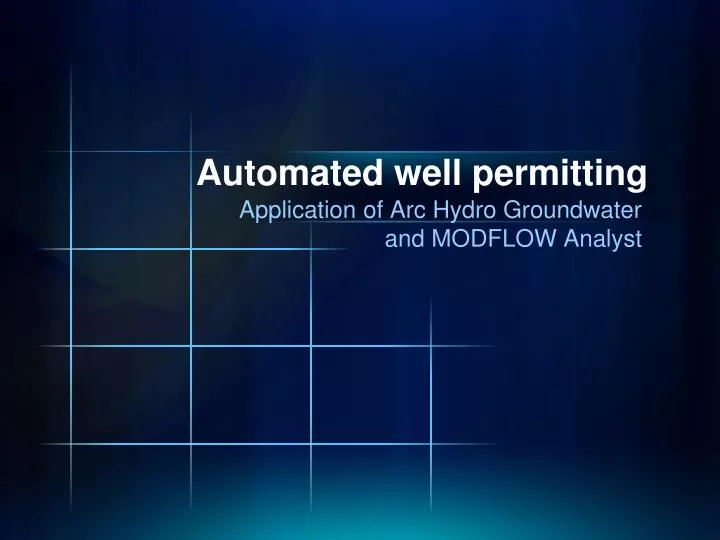
Automated well permitting. Application of Arc Hydro Groundwater and MODFLOW Analyst. Calibrated regional model is imported to ArcGIS as a “baseline” model Candidate wells are added to baseline model using well package. Impact of new well is analyzed using MODFLOW. Overview.

E N D
Automated well permitting Application of Arc Hydro Groundwater and MODFLOW Analyst
Calibrated regional model is imported to ArcGIS as a “baseline” model Candidate wells are added to baseline model using well package. Impact of new well is analyzed using MODFLOW Overview
Step 1: User applies for a new well (coordinates, pumping rate, screen elevations). Create a new feature in the Well feature class Candidate Well Analysis New Well (HydroID = 1001)
Step 2: Create new instances in the WEL table. Candidate Well Analysis Custom tool that creates MODFLOW instances based on the location of the well and the screen elevations and finds the appropriate MODFLOW cell. CellID represents MODFLOW i, j, k values SourceID is the HydroID of the well feature
Step 3: Export the new well data to the MODFLOW text file Candidate Well Analysis
Step 4: Run MODFLOW simulation with candidate well Use OBS process to compute new flows at rivers, drains, etc. Export drawdown file as part of solution. Candidate Well Analysis
Step 5: Read solution and compare to “base” simulation Candidate Well Analysis • Generate appropriate reports to guide well approval/rejection. • There can be a number of different criteria for comparison: • Changes in flows (observed vs. simulated equivalents) at key features. • Drawdown at key locations. • Drawdown maps • Capture zones (using MODPATH).
Case Study #1 - SRWMD Permitting criteria based on impact to streams, springs, etc.
Well Analysis Workflow Create new well update well table export well package file run MODFLOW import solution build map layers
Case Study #1 - SRWMD Location of candidate well
Virginia Coastal Plain Model (VCPM) 10-layer MODFLOW model used to analyze impacts of candidate wells Criteria based on state law Potentiometric surface cannot fall below a critical surface (80% drawdown) Area of Impact defined by drawdown = 1 ft Case Study #2 – Virginia DEQ Heads for layer 8
Well Permitting Workflow Create new well update well table export well package file run MODFLOW import solution build drawdown map layer
Products Area of Impact Cells Area of Impact Contour