Download
1 / 29
290 likes | 439 Vues
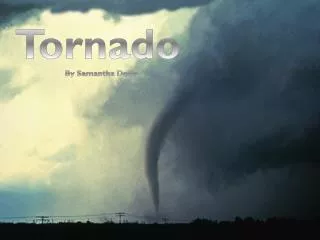
Forecasting for tornado development in Cyprus. Matheos Papadakis Haris Zachariades Cyprus Meteorological Service. Cyprus, the third largest Mediterranean island with an area of 9251 sq. km sometimes experiences tornadoes and waterspouts.

E N D
Forecasting for tornado development in Cyprus Matheos Papadakis HarisZachariades Cyprus Meteorological Service
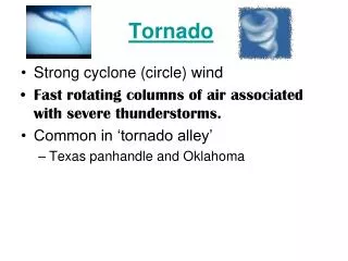
Cyprus, the third largest Mediterranean island with an area of 9251 sq. km sometimes experiences tornadoes and waterspouts. Tornadoes and waterspouts occur both in the summer and in the winter. Tornadoes may develop over land or start as waterspouts over the sea, later moving inland. No systematic study of the annual frequency of tornadoes in Cyprus has been done; however, an average number of 2 tornadoes over land per year has been suggested.
A strong tornado affected the capital, Nicosia, on 18 September 2009 • 17 people were injured • More than 10000 trees in Nicosia were snapped or uprooted on that day according to the Forestry Department • Cars were turned upside down and moved over • Non concrete roof tops were considerably exposed • There was extensive damage to lighter structures From the description of the damage caused by the tornado it may be termed a severe tornado of strength T4 on the Torro International Intensity Scale. 2 lower intensity tornadoes were reported on the same day. Forecasts issued in the morning of 18 Sept. 2009 included the possibility of local, probably severe thunderstorms. Tornado development was not considered very likely.
In this study we attempt to identify NWP data available at the Cyprus Meteorological Service (CMS) that may be useful in recognizing favorable conditions for tornado development. NWP data used by CMS forecasters: • Printed charts from the UK unified model received by fax • DWD Global Model data via DWDSat • WRF limited area model run locally. Not systematically verified! Only cautiously consulted. Cyprus is not a member of ECMWF (or EUMETSAT) !
Meteosat SEVIRI 000.0E > 2009 > September > 18 > 0000 UTC > Channel: 4 (3.48 - 4.36 µm Infrared)
Meteosat SEVIRI 000.0E > 2009 > September > 18 > 0600 UTC > Channel: 4 (3.48 - 4.36 µm Infrared)
Geostationary Archive > Meteosat SEVIRI 000.0E > 2009 > September > 18 > 1200 UTCChannel: 4 (3.48 - 4.36 µm Infrared)
DWD GME GRID POINTS. DATA TIME 0000Z WRF LAM DATA TIME 0000ZActual soundings from Athalassa station available at 0600Z and 1100Z
Comparison of DWD GME forecast tephigram with Athalassa actual
Comparison of WRF LAM forecast tephigram with Athalassa actual
A study by Sioutas et.al. (2004) of tornadoes that occurred in Cyprus in 2004, associated tornadoes with large values of the storm relative helicity, up to 461 m2/s2. The value of 123 m2/s2 found here is much lower. On the other hand, the value of cape found in that study was 10 times lower than the cape found here. More systematic study is necessary. Forecast soundings are now stored in order to be available for future studies. These preliminary results indicate that NWP forecast soundings can be very useful for forecasting severe thunderstorms. An automated system of sounding analysis is necessary for efficiency.