Download
1 / 13

E N D
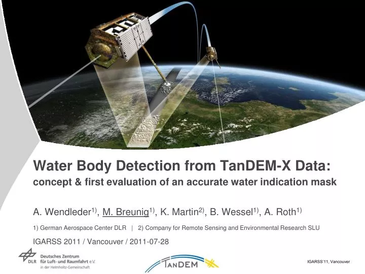
Water Body Detection from TanDEM-X Data:concept & first evaluation of an accurate water indication maskA. Wendleder1), M. Breunig1), K. Martin2), B. Wessel1), A. Roth1)1) German Aerospace Center DLR | 2) Company for Remote Sensing and Environmental Research SLUIGARSS 2011 / Vancouver / 2011-07-28
Outline • Introduction • Definition of the TanDEM-X water indication mask • Challenges for TanDEM-X water body detection • Concept & methodology of water body detection • Test site demonstration • Evaluation of classification results • Outlook
Definition of the TanDEM-X water indication mask • Global mission – global DEM – global water body mask • Water body mask primarily extracted for post-processing DEM editing • ongoing work in flattening of outpoking water bodies • correct orthorectification of remote sensing data • No production of a complete global water body inventory frozen Lake Taimyr / Russia Kurnool Kadapa Channel / India
Challenges for TanDEM-X water body detection • TanDEM-X mission with 2 global acquisition data sets in 2011 & 2012 • The water body detection runs completely data-driven • Processing at Raw DEM level (30*50 km ≈ 8.000*10.000 pixels) • 400 up to 800 Raw DEM per day to be processed • Therefore maximum computing time of 3 minutes per product • Applicable for different appearances of water bodies worldwide (coastline, inland lake, river, tropical, arctic, arid or humide climates etc.) tropical river & coastline in Indonesia small inland water bodies in Minnesota / USA
Concept & Methodology (I) • Input images are amplitude & coherence image • Exclusion of desert & polar regions • SRTM WAM • MODIS/Terra Land Cover Types • Exclusion of steep terrain • SRTM DEM
Concept & Methodology (II) • Median filter separately applied both to amplitude & coherence image • Threshold method with fix threshold values • Two different thresholds to handle complexity of water appearance • 1. threshold: reliable classification • 2. threshold: potential classification • Calculation of water body areas via Chain Code and elimination of water bodies < 1 hectare • Fusion of three intermediate water body layers
Test site demonstration • River Elbe, Hamburg, Germany • acquired on January 27, 2011 • Incidence angle 43.4° to 45.7°
Evaluation of classification results (I) • Calculation of completeness and correctness • reference vector layer data of digital landscape models from the Authoritative Topographic Cartographic Information System (ATKIS)
Evaluation of classification results (II) ATKIS: Authoritative Topographic Cartographic Information System
Evaluation of classification results (III) • Water body mask derived of amplitude image • rich in detail • susceptible to misclassifications • Water body mask derived of coherence image • significant and robust results • loss of details of small scale water bodies • Maximum of a correct & complete water mask with combination of both
Outlook • Accuracy assessment of the water body detection for different climate zones • robustness & global transferability of our approach • Mosaicking of different water bodies (neighboring acquisitions resp. first & second year acquisition) to an intermediate & final TanDEM-X water body mask product • TanDEM-X DEM editing using TanDEM-X water body mask • flattening of outpoking water bodies
River Elbe, Hamburg, Germany • SAR image • Water indication mask • DEM • edited DEM
Thank you for your attention! Anna Wendleder | Markus Breunig German Remote Sensing Data Center Team SAR Topography Phone: +49 8153 28 3439 Email: Anna.Wendleder@dlr.de | Markus.Breunig@dlr.de