Download
1 / 10
100 likes | 479 Vues
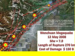
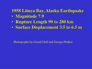
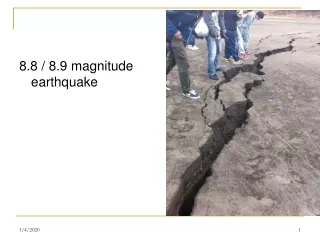
1958 Lituya Bay, Alaska Earthquake Magnitude 7.9 Rupture Length 90 to 280 km Surface Displacement 3.5 to 6.5 m. Photographs by Lloyd Cluff and George Plafker. Fairweather fault. 1958 Lituya Bay Earthquake, M 7.9 Rupture length 95 to 280 km Fairweather fault 6.2 m RL. Lituya Bay.

E N D
1958 Lituya Bay, Alaska Earthquake • Magnitude 7.9 • Rupture Length 90 to 280 km • Surface Displacement 3.5 to 6.5 m Photographs by Lloyd Cluff and George Plafker
1958 Lituya Bay Earthquake, M 7.9 Rupture length 95 to 280 km Fairweather fault 6.2 m RL Lituya Bay
Line of disrupted trees along fault rupture
SS-RL 4 to 6 m Disrupted tree zone 3 to 5 m wide
Lituya Bay Earthquake, Fairweather Fault (6.2 m) Surface fault rupture through trees Disrupted tree zone 3 to 5 m wide
Glacial Ice Faulted by RL-Slip Along Fairweather Fault - 4.8 m Surface rupture zone varies, 1 to 50 m wide


![POSITION / LENGTH /DISTANCE / DISPLACEMENT [metre m]](https://cdn1.slideserve.com/1597006/slide1-dt.jpg)