Download
1 / 30
320 likes | 442 Vues
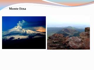
Ground deformation at Etna and MiyakeJima from interferometric PALSAR ALOS data. Pierre Briole 1 , Panagiotis Elias 2 , Giuseppe Puglisi 3 , Makoto Murakami 4

E N D
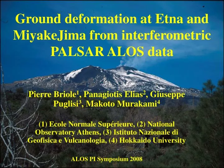
Ground deformation at Etna and MiyakeJima from interferometric PALSAR ALOS data Pierre Briole1, Panagiotis Elias2, Giuseppe Puglisi3, Makoto Murakami4 (1) Ecole Normale Supérieure, (2) National Observatory Athens, (3) Istituto Nazionale di Geofisica e Vulcanologia, (4) Hokkaido University ALOS PI Symposium 2008
ERS SAR interferogram 1995-1999 J.L. Froger 2000 Data processed with Diapason software
PS-Insar at Etna Offset across the Pernicana fault measured by PS-InSAR and in the field PS processing: TRE 2002
2006: inflation and eruption in September Inflation before the eruption of Sept 4, 2006 Processing: ROI-PAC filtered, INGV 2007 ENVISAT 11 May 2005 – 26 April 2006
2007: summit eruptions, inflation, creep along faults April 2007 summit activity Ground deformation from GPS data Processing at INGV-CT with ROI-PAC and GAMIT ENVISAT - 7 Nov 2007 – 26 Mar 2008
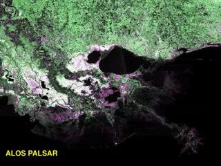
11 available ascending PALSAR scenes eruption
MiyakeJima volcano Last eruptions : 1940, 1962, 1983, 2000
Ground motion 1998-2008 (horizontal) GSI, 2008
Ground motion 1998-2008 (vertical) GSI, 2008
Ground motion 2007-2008 (horizontal) GSI, 2008
Ground motion 2007-2008 (vertical) GSI, 2008
Conclusions • No ground motion detected at MiyakeJima volcano • Various phenomena at Etna, like with Cband observations (classical or PS) but coherence better in all types of surfaces • All baselines work but much better results with short baselines • 3-4mm detectability for SW with standard software (close to Cband), LW detectability linked to atmosphere (like in Cband) • Ascending PALSAR data acquired regularly would be great for ground deformation monitoring • Quick-looks at http://idaios.space.noa.gr/pub/
Thanks to JAXA for having made ALOS Yes, we can!