Download
1 / 11
110 likes | 278 Vues
ZOM-02-10 Location Map. G & A Lloyd, LLC. ZOM-02-10 Aerial. G & A Lloyd, LLC. ZOM-02-10 Zoning Districts. G & A Lloyd, LLC. ZOM-02-10 Future Land Use. G & A Lloyd, LLC. ZOM-02-10 North Oblique Aerial. G & A Lloyd, LLC. ZOM-02-10 Recommendation.

E N D
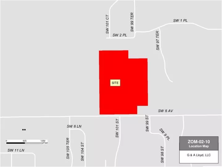
ZOM-02-10 Location Map G & A Lloyd, LLC
ZOM-02-10 Aerial G & A Lloyd, LLC
ZOM-02-10 Zoning Districts G & A Lloyd, LLC
ZOM-02-10 Future Land Use G & A Lloyd, LLC
ZOM-02-10 North Oblique Aerial G & A Lloyd, LLC
ZOM-02-10 Recommendation • Staff recommends approval of ZOM-02-10 (a request to rezone from RE-1 to R-1aa) with the bases as noted in the staff report. The present zoning will allow 140 residential units. The applicant, through the development plan submitted with this application, is requesting 165 units (25 unit increase). The maximum number of possible units under R-1aa is 201.
Staff Bases • Policy 1.3.7 of the Future Land Use Element states that the Low Density Residential land use category shall provide for a gross density of one to four dwelling units per acre. The proposed request to rezone to R-1aa will allow a maximum density of three dwelling units per acre. This density is within the permitted range for the Low Density Residential land use, and therefore this proposal is consistent with this policy.
Staff Bases • Policy 1.5.1 states that New residential development shall meet all the requirements for adequate facilities based on the level of service standards adopted in this Plan for roads, potable water, sanitary sewer, solid waste, stormwater, recreation and open space facilities, and mass transit and the concurrency provisions of this Plan. As shown in the level of service section of this staff report, the proposed development will not cause adopted LOS standards to be exceeded should this zoning be approved. Similarly, this request is consistent with Policy 1.5.2 of the FLUE, which addresses LOS impacts.
Staff Bases • The proposed request is also consistent with Policy 7.1.2 of the FLUE. The proposed project lies within the Urban Cluster and the Urban Services line of the Future Land Use Map: 2020. Both water and sewer services are available at the site . As shown in the Level of Service Section (LOS) of this report, adequate capacity exists to support this development at the present time and the LOS standards adopted in the Plan will not be exceeded if this rezoning request is approved by the Board.
Staff Bases • Surrounding development consists of single family residential development to the north (Ft. Clarke Forest) and south (Granite Park & Quail Hollow). Proposed density with the revised zoning is 2.45 du/acre, which is denser than surrounding development (which averages 1 du/acre) but is in character with surrounding development, which is single family in nature.