Download
1 / 15
170 likes | 386 Vues
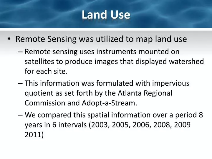
Land Use. Remote Sensing was utilized to map land use Remote sensing uses instruments mounted on satellites to produce images that displayed watershed for each site . This information was formulated with impervious quotient as set forth by the Atlanta Regional Commission and Adopt-a-Stream.

E N D
Land Use • Remote Sensing was utilized to map land use • Remote sensing uses instruments mounted on satellites to produce images that displayed watershed for each site. • This information was formulated with impervious quotient as set forth by the Atlanta Regional Commission and Adopt-a-Stream. • We compared this spatial information over a period 8 years in 6 intervals (2003, 2005, 2006, 2008, 2009 2011)
Land Use – Marsh Creek 30.16%
Land Use – Marsh Creek 29.28%
Land Use – Marsh Creek 30.03%
Land Use – Marsh Creek 27.31%
Land Use – Marsh Creek 34.10%
Land Use – Marsh Creek 28.38%
Marsh Creek - Impervious Surfaces Table XX. Percent % of impervious surface in Marsh Creek Watershed (as based on ARC impervious quotients)
Land Use – Long Island Creek 26.47%
Land Use – Long Island Creek 24.04%
Land Use – Long Island Creek 22.97%
Land Use – Long Island Creek 27.19%
Land Use – Long Island Creek 36.20%
Land Use – Long Island Creek 22.70%
Long Island Creek Impervious Surfaces Table XX. Percent % of impervious surface in Long Island Creek Watershed (as based on ARC impervious quotients)