Download
1 / 32
320 likes | 462 Vues
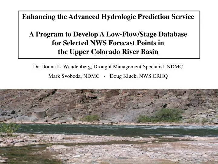
Enhancing the Advanced Hydrologic Prediction Service A Program to Develop A Low-Flow/Stage Database for Selected NWS Forecast Points in the Upper Colorado River Basin Dr. Donna L. Woudenberg, Drought Management Specialist, NDMC Mark Svoboda, NDMC · Doug Kluck, NWS CRHQ. Outline.

E N D
Enhancing the Advanced Hydrologic Prediction Service A Program to Develop A Low-Flow/Stage Database for Selected NWS Forecast Points in the Upper Colorado River Basin Dr. Donna L. Woudenberg, Drought Management Specialist, NDMC Mark Svoboda, NDMC · Doug Kluck, NWS CRHQ
Outline • The existing AHPS System • High-flows vs. Low-flows • Completed Low-flow Projects • Upper Colorado River Basin Project • Potential for the Future
Advanced Hydrologic Prediction Service • Flood early • warning system • Network of >4000 • stream gauges • Providing current • river flow/stage data • Up to 7-day • forecasts at many • forecast points • 90-day probabilistic • forecasts at about 1/3 • of the forecast points http://www.weather.gov/ahps/
AHPS Flood Classifications Minor Flooding: minimal or no property damage, but possibly some public threat or inconvenience. Moderate Flooding: some inundation of structures and roads near stream. Some evacuations of people and/or property to higher elevation is necessary. Major Flooding: extensive inundation of structures and roads. Significant evacuations of people and/or transfer of property to higher elevations.
River Stage and Flood Impact Information Arkansas River at Canon City (Photo taken by Ken Dewey, 2001)
Cumulative Chance of Exceeding Levels (90 day outlook) The values along the x axis show the probability of reaching a particular flow (y axis). CS = conditional simulation; HS = historical simulation
Although providing great benefits for flood protection, the AHPS system does not provide the same information for low flow events. Low flows in rivers and streams can have similar deleterious effects in terms of health, economic, and environmental consequences.
Led to the development of a low flow/stage impacts database for AHPS forecast points Objective 1: Identify low flow/stage related impacts near NWS forecast points Objective 2: Use impact information to establish low flow/stage warning triggers (drought stages) Objective 3: Develop low flow/stage river forecasts Incorporate data into the NWS National Hydrologic Database and the AHPS system
Completed Low Flow Projects • Upper Mississippi River Basin (2004) • MN – 21 forecast points • North Platte River Basin (2005) • CO, WY, and NE – 17 forecast points • Upper Missouri Basin (2006) • WY, MT, and ND – 45 forecast points • Upper Trinity River Basin (2007) • TX – 29 forecast points • Red River of the North (2007) • ND & MN – 35 forecast points • Conducted internet and literature reviews • Collected information on potential low flow impacts from federal, state, and local water experts
Experts Were Asked to Provide Information on: • The impacts of low river levels • The stage/flow at which impacts occur • Which AHPS site(s) best reflect the impacts • Other factors that affect particular impacts/locations • Key Findings • 1.Several potential impacts identified • loss of municipal, industrial, and agricultural water • activation of water rights regulation procedures • activation of state and local drought response plans • reduced recreational opportunities • hydropower losses • dredging to maintain navigation • fish and wildlife losses • exposure of infrastructure • increased effluent testing (NPDES)
2. River basins have common and unique vulnerabilities • and management strategies • Upper Mississippi River Basin: • mainly municipal water for large cities (St. Paul and • Minneapolis), navigation, hydropower, recreation, and fish and • wildlife concerns. • river gauging stations are often used to trigger low flow • management plans (i.e., Q90 flow) • North Platte River Basin: • mainly agricultural irrigation, municipal water (small • and large cities), hydropower, recreation, and fish and • wildlife concerns • reservoir levels and flow volumes used to trigger low • flow management plans (i.e., North Platte Project – • 1.1 million acre-feet in reservoirs)
3. Authorities could not describe at what stage/flow impacts at some sites would occur. Ex) “Our wells are affected by river flows but I don’t know exactly how much.” Ex) “Fish and wildlife are affected by low flows but we haven’t determined minimum flow requirements.” More research is needed in such cases to better understand low-flow vulnerabilities
Conclusion of Case Studies… Developing a better understanding of low river impacts at the local level will provide more detailed information for water resources planning applications at all levels, as well as in advancing the development of the AHPS system.
2008-2009 Upper Colorado River Low-Flow Project Identify potential low flow/stage impacts near 164 forecast points
2008-2009 ACT-ACF BasinIdentify potential low flow/stage impacts near 50 forecast points
Potential Contacts • NDMC staff will be contacting water experts in the region, such as: • National Weather Service • United States Geological Survey • US Army Corp of Engineers • US Bureau of Reclamation • Natural Resources Conservation Service • State and Regional Water Agencies and Organizations • Community water managers near AHPS points • They (you) will be asked to help identify potential low-flow related impacts that can be linked to river flow/stages at NWS AHPS forecast points.
Colorado Example 1)What effects would typically occur as the White River flow decreases at the AHPS forecast point near Meeker (WRMC2; #31)? 2) At what general stage/flow would those impacts occur? 3) Are these impacts seasonal? Or specifically drought-related?
Current White River AHPS Forecast Point at Meeker, Colorado What would happen as stage/flow decreases?
Future Work for River Forecast Centers… North Central River Forecast Center An example of a seven-day river forecast hydrograph with indicators of critical low flow and flood levels. The red line indicates the flood level. The tan line indicates the critical low flow level at this forecast point. The blue line shows the current river level and the green line is the actual forecast.
North Central River Forecast Center An example of a 90-day streamflow outlook for low water. The values along the x axis show the probability of reaching a particular flow (y axis). The brown zone at the bottom of the graph shows the critical level for this forecast point at which low water impacts begin to take effect. CS = conditional simulation; HS = historical simulation.
WHAT I NEED FROM YOU! • Contacts – • Name & title/agency/organization • Phone number & email address • Mailing address, if possible • Resources – References – Reports – Relevant Documents • Any and all information on water management and/or water use • State government – smallest municipalities / irrigation districts • Low-flow Impacts Data and Information • If you can directly provide info – let me know!
Thanks so much! Visit the NDMC http://drought.unl.edu Donna Woudenberg dwoudenberg2@unl.edu 402-472-8287