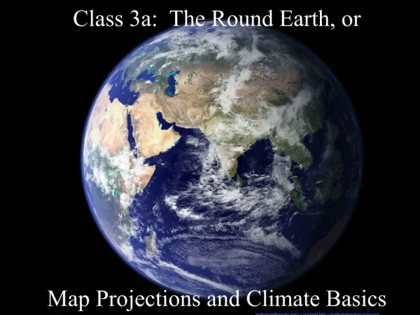
Class 3a: The Round Earth, or Map Projections and Climate Basics
Class 3a: The Round Earth, or Map Projections and Climate Basics. How hot is it?. What determines temperature? Insolation ( in coming so lar radi ation ) Cloud cover Altitude Water vapor in the air Land or water Air movement (wind). Insolation.

Class 3a: The Round Earth, or Map Projections and Climate Basics
E N D
Presentation Transcript
Class 3a: The Round Earth, orMap Projections and Climate Basics
How hot is it? • What determines temperature? • Insolation (incoming solar radiation) • Cloud cover • Altitude • Water vapor in the air • Land or water • Air movement (wind)
Insolation • Only at one latitude at a time are the sun’s rays overhead • Between Tropic of Cancer and Tropic of Capricorn • Everywhere else, rays are diffused
What causes the seasons? • Volunteers? • The tilt of the earth • The angle of sunlight • The change in heat received from the sun
Latitude and longitude • Latitude: how far north or south • From 0° at equator to 90° at poles • Each parallel of latitude is a different size • Key latitudes: Equator, 23.5°N and S
Latitude and longitude • Longitude: how far east or west • East or west of what? • 1884 agreement on prime meridian at Greenwich • Each meridian of longitude is the same distance around • Not parallel lines • Key longitudes: Prime Meridian, International Date Line, 100th meridian
Map projections • Project a round globe onto a flat surface • Options? • Stretch out some areas • Cut out some areas • Shrink some areas
Map projections • Three properties to consider • Area (equal-area or equivalent) • Shape (conformal) • Distance (equidistant) • Choosetwo out of three • How large an area? • Purpose of the map • Ulterior motives?
Cylindrical projections • Shapes are preserved • But not area! • Mercator projection • Deliberate distortion? • Cold War • Colonialism
Cylindrical projections: Gall- Peters • Also preserves area • Distorts shape differently • Adjusting Mercator for a more “just” map
Conic projections • Best for hemispheres or small regions • Area and shape only slightly distorted
Planar projections • Equidistant; good for navigation • Only good for one hemisphere • Distorts area, not shape
Other projections • Based on more complicated math • Interrupted, oval, combination Robinson Goode