Download
1 / 3
30 likes | 38 Vues
Drone Aerial Surveys - Surveying work was not as simple as it is today because of drone technology. A drone consists of sensors and cameras for data acquisition during the monitoring and inspection of a particular site. It is also less time-consuming, extremely secure, has fewer overheads, and almost no repeat jobs.<br>

E N D
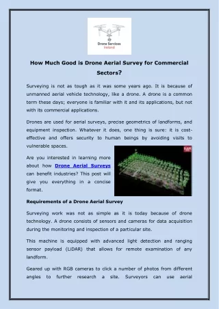
How Much Good is Drone Aerial Survey for Commercial Sectors? Surveying is not as tough as it was some years ago. It is because of unmanned aerial vehicle technology, like a drone. A drone is a common term these days; everyone is familiar with it and its applications, but not with its commercial applications. Drones are used for aerial surveys, precise geometrics of landforms, and equipment inspection. Whatever it does, one thing is sure: it is cost- effective and offers security to human beings by avoiding visits to vulnerable spaces. Are you interested in learning more about how Drone Aerial Surveys can benefit industries? This post will give you everything in a concise format. Requirements of a Drone Aerial Survey Surveying work was not as simple as it is today because of drone technology. A drone consists of sensors and cameras for data acquisition during the monitoring and inspection of a particular site. This machine is equipped with advanced light detection and ranging sensor payload (LiDAR) that allows for remote examination of any landform. Geared up with RGB cameras to click a number of photos from different angles to further research a site. Surveyors can use aerial
photogrammetric software to create geo-referenced ortho-projections, 3D models, contour maps, digital terrain models, and point clouds from the surveyed data. The comprehensive insights support drone operators in mapping out a whole scenario within minutes without going on-site. More or less, Drone Aerial Surveys in Ireland is very effective for site inspection compared to traditional means. It is also less time-consuming, extremely secure, has fewer overheads, and almost no repeat jobs. Why Does a Drone Efficient for Aerial Survey? Whatever way you choose to use your drone, it will produce better results than traditional methods. Begin reading about why this is the case. Drone Lessens Time Consuming and Financial Constraints Evaluation of various topographies is very tedious. It is due to unfavorable geography and weather conditions, such as high mountains, large rivers, or weather conditions like constant rainfall, very hot and dry climates, and strong winds. The preparation required to deal with the aforementioned challenges is expensive. Instead, drones are more precise, and economical, and capture higher resolution than aerial surveys via crewed aircraft or satellite imagery. Precise and Comprehensive Detailing of Data Acquisition via Drones A single drone deployment is sufficient to capture hundreds of high- quality images. You can further process and project these photos in
various formats, such as point clouds, contour lines, and orthomosaic figures. No Risky Events to Climb and Go for Vulnerable Sites There is no requirement to visit the site to inspect extensive planning or site logistics and mismatches. Surveyors can perform these activities by sitting at their remote cabin using a smart remote controller by the deployment of drones over the site area to oversee these details. It leads to almost nothing like site hazards. Contact us Address: Hollybank, Monktown Navan, Co. Meath, Ireland Postal Code: C15H7Y2 Phone No: +353872052331 Business email: info@droneservicesireland.ie Website: https://www.droneservicesireland.ie/
