Download
1 / 25
250 likes | 428 Vues
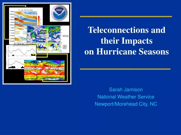
Teleconnections and their Impacts on Hurricane Seasons. Sarah Jamison National Weather Service Newport/Morehead City, NC. NOAA Hurricane Season Outlooks. Are a collaborative effort from scientists at NOAA agencies. Climate Prediction Center, Hurricane Research Division, and

E N D
Teleconnections and their Impacts on Hurricane Seasons Sarah Jamison National Weather Service Newport/Morehead City, NC
NOAA Hurricane Season Outlooks Are a collaborative effort from scientists at NOAA agencies Climate Prediction Center, Hurricane Research Division, and National Hurricane Center Issued in May and August
NOAA Hurricane Season Outlooks Base forecast on two major climate factors: ENSO and Multidecadal Cycle Other global weather patterns known to impact hurricane seasons: MJO, NAO Weekly ENSO updates from CPC. Powerpoint summaries including MJO and forecasts http://www.cpc.ncep.noaa.gov/products/analysis_monitoring/enso_advisory/
Multidecadal Cycle NOAA classifies nine of the last twelve hurricane seasons as above normal, with seven being hyperactive. Only four seasons since 1995 have not been above normal. El Niño years of 1997, 2002, 2006, 2007. 1995-Present 1971-1994: Only 3 years above normal, none were hyperactive (ACE >175%)
Multidecadal Cycle Active Seasons: Reduced vertical shear in prime hurricane formation region Weaker easterly winds associated with N-ward shift of ITCZ, and more favorable African Jet Enhanced cyclonic circulation provides energy to develop disturbances Multi-Decadal Atmospheric Signals
ENSO La Niña contributes to fewer eastern Pacific hurricanes and more Atlantic hurricanes. La Niña produces wind patterns that are opposite to those normally observed, and result in lower vertical wind shear. There tend to be more Atlantic hurricanes during La Niña because of this expanded area of low vertical wind shear. Wind shear magnitudes larger than 7.5-10m/s in the MDR region are unfavorable for hurricane development ENSO and North Atlantic Hurricanes
ENSO A more southerly track for hurricanes is favored during ENSO neutral and El Nino phases East Coast (GA to ME): A significant increase in landfall frequency occurs during La Nina phase as compared to neutral ENSO. Probability of two or more North Atlantic hurricanes making landfall along the U.S. coastline to be 28% during El Niño, 48% during the neutral phase, and 66% during La Niña.
MJO MJO~A tropical wave propagating around the equator. It significantly affects the atmospheric circulation throughout the global Tropics and subtropics. Each cycle lasts approximately 30-60 days, starts near India.
MJO Enhanced divergence area aloft associated with MJO will circle the globe. As the MJO progresses eastward, the favored region for tropical cyclone activity also shifts eastward… Squares Indicate areas of tropical cyclone development I P A Only a few storms (1/3) formed in upper level convergence area Green indicates areas of upper level divergence
NAO~North Atlantic Oscillation NAO~ large-scale seesaw in atmospheric between the subtropical high-pressure system over the Atlantic Ocean Observed by pressure differences between Azores Islands and the subpolar low-pressure system over Iceland. After El Nino, this pattern is one of the most dominant modes of global climate variability (CPC)
Hurricane Dean NAO~North Atlantic Oscillation -NAO Setup will drive storms far south into the Caribbean/Gulf of Mexico +NAO will tend to turn them to the right and north of the Lesser Antilles towards the East Coast Reached the Lesser Antilles by the 16th, before the NAO was positive. Timing was very close!
Teleconnections and Tropical Season Impacts Years-Months Years-Months: Outlooks Multi-decadel ENSO Months-Weeks Months-Weeks: Outlooks, Potential Development areas MJO ENSO Weeks-Days: Intensity and Stearing Weeks-Days I A NAO MJO
Teleconnections and Strike Probabilities Once storms have formed, the primary stearing signals are NAO and ENSO Little variation in landfall potential based just on NAO or ENSO signals However, combining the two (ENSO/NAO indicies) landfall correlations are found
Teleconnections and Strike Probabilities Study ENSO and NAO Favorable for Landfall What patterns are most favorable for landfall? Example: The Carolina’s best/worse chance of landfall is during La Nina and +NAO years. What is the probability of a landfall compared to the rest of the east coast? Limited sample size by reducing (1900-2005) ENSO phases, landfall regions, and NAO. Trends still notable however.
Strong +NAO Hazel Edna Carol La Nina
11% chance of landfall Arthur (TS) Bertha (2) Fran (3) Unusually high activity for early season
Hurricane Season 2008 Outlook Expected Climate Conditions Season Activity SST ENSO MDS Active multi-decadal signal Below Normal Cooler El Nino Inactive Above Normal Above Normal Warmer Warmer La Nina La Nina Active Active Warmer western tropical Atlantic and Caribbean Sea La Nina Conditions through summer I P A
Teleconnections and Strike Probabilities Study Gives an indication of when some areas are more vulnerable to landfalls before storms even form. Good tool for EMs. They now look at NAO forecasts, not focused exclusively on ENSO since we are vulnerable during El Nino and La Nina years. After storm forms, focus on NAO forecasts to see the potential of a storm turning before the Lesser Antilles