Everest through Images
140 likes | 543 Vues
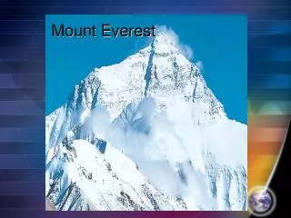
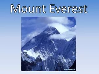
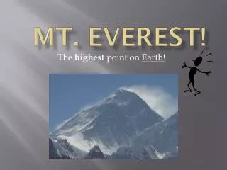
Everest through Images. The Great Trigonometrical Survey of India.

Everest through Images
E N D
Presentation Transcript
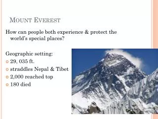
The Great Trigonometrical Survey of India • The survey, which involved several thousand Indians and was named the Great Trigonometrical Survey in 1819 covered more than 1,600 miles. The survey was started by a British army officer, William Lambton in Madras, in 1802 and it took 40 years for it to reach the Himalayas. Lambton's measurement along the ground was known as triangulation. • It led to the most complex mathematical equations known to the pre-computer age, and led to the 'discovery' of the world's highest mountain.
The peak of Ama Dablam in the Khumbu region, taken on the approach to Base Camp rises to 22, 348 feet (6812 metres). It's name, in Nepali, means Mother's Charm Box. Ama refers to the arms of the mountain's long ridges protecting the valley, like the enfolding arms of a mother. Dablam is the traditional name for the double pendant containing pictures of the gods, worn by the Sherpani, and refers to the high hanging serac located just below the summit.
A crevasse is a chasm or fissure in the glacial ice. Large features like this on a climb were often given nicknames by the climbers. This one was called ‘Nasty Crevasse’. The photo was taken between Camp II and III on the 1953 Mount Everest Expedition.
George Lowe standing by a rock ridge during the 1953 ascent of Everest
Nepal extends beyond the Himalayas to two hill ranges; the Mahabharats and the Churia Hills. Between the Mahabharats and the Himalayas are ranges of hills and deep valleys, including the Kathmandu Valley, surrounded by terraced and cultivated hillsides. To the south are the Terai with has become the agricultural and industrial centre of the country, with nearly half the population living in this area.
All the images are taken from the Royal Geographical Society’s collections, more images can be found on www.rgs.org/education and www.unlockingthearchives.rgs.org.uk