Forest GeographicalInformation
산림지리정보. Forest GeographicalInformation. 목 차. 1. 한국의 지리와 도시숲 현황. 2. 산림자원 조사 및 임상도 제작 연혁. 3. 연도별 산림 기본 통계 현황. 4. 산림지리정보시스템. 한국의 지리와 도시숲 현황. Geography

Forest GeographicalInformation
E N D
Presentation Transcript
산림지리정보 Forest GeographicalInformation
목 차 1 한국의 지리와 도시숲 현황 2 산림자원 조사 및 임상도 제작 연혁 3 연도별 산림 기본 통계 현황 4 산림지리정보시스템 산림지리정보
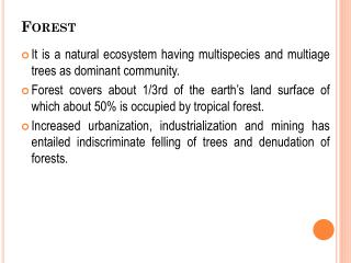
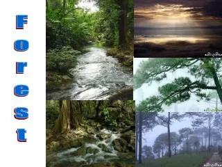
한국의 지리와 도시숲 현황 • Geography • The Korean peninsula encompasses 22,000km2, 45% of whichmakes up the Republic of Korea. 70% of the 960km long peninsula ismostly mountainous and 20% of the ROK is used for agriculture whileforests cover 65% of the land • 도시숲 • 도시지역 내 숲은 1년에 평균 3.5%씩 감소추세에 있으며, 이는 전국 산림감소율 0.1%의 3.5배에 달함 • 도시지역 내 시민들이 쉽게 이용할 수 있는 ‘생활권 도시림’은 전국 평균7.0제곱미터/인으로 세계보건기구의 1인당 최저 녹지 면적 권고 기준의77% 수준 산림지리정보
산림자원 조사 임상도 제작 연혁 제1차 제2차 제3차 제4차 기간 임상도 매수 수치화 주 산림지리정보
연도별 산림 기본 통계 현황 산림면적 좁음 산림지리정보
산림지리정보시스템 토지정보시스템 산 지 정 도 산지관리시스템 국토해양부 DB 복제 수치지형도 KLIS 시스템 연속지적도 산지관리 DB 수치지형도 연속지적도 산지구분 산 불 위 험 예 보 산불위험등급 지방지치단체 기상청통보 지형 임상 기상 보통 높음 고도 방위 온도 습도 풍속 위험 대국민 홍보 낮음 산림지리정보