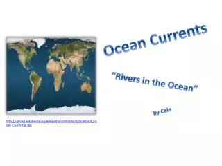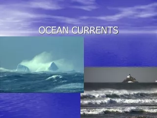
Ocean Currents
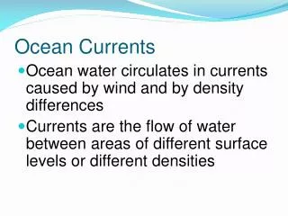
Ocean Currents. Why is Ocean Circulation Important?. Transport ~ 20% of latitudinal heat Equator to poles Transport nutrients and organisms Influences weather and climate Influences commerce. Non-rotating Earth. Convection cell model. Add rotation and add landmasses


Ocean Currents
E N D
Presentation Transcript
Why is Ocean Circulation Important? • Transport ~ 20% of latitudinal heat • Equator to poles • Transport nutrients and organisms • Influences weather and climate • Influences commerce
Non-rotating Earth Convection cell model
Add rotation and add landmasses unequal heating and cooling of the Earth
Physical properties of the atmosphere: Density • Warm, low density air rises • Cool, high density air sinks • Creates circular- moving loop of air (convection cell)
Physical properties of the atmosphere: Water vapor • Cool air cannot hold much water vapor, so is typically dry • Warm air can hold more water vapor, so is typically moist • Water vapor increases the density of air
90o High pressure, dry climate 60o Low pressure, wet climate High pressure, dry climate 30o ITCZ intertropical convergence zone= doldrums Low pressure, wet climate 0o 30o 60o 90o
The Coriolis effect • The Coriolis effect • Is a result of Earth’s rotation • Causes moving objects to follow curved paths: • In Northern Hemisphere, curvature is to right • In Southern Hemisphere, curvature is to left • Changes with latitude: • No Coriolis effect at Equator • Maximum Coriolis effect at poles
Idealized winds generated by pressure gradient and Coriolis Force. • Actual wind patterns owing to land mass distribution..
Ocean Currents Surface Currents The upper 400 meters of the ocean (10%). Deep Water Currents Thermal currents (90%)
Surface Currents Forces • Solar Heating (temp, density) • Winds • Coriolis
Gyres are surface currents that form a circular pattern due to prevailing winds, the Coriolis effect and landmasses. They will effect the climate of coastal regions. If the current is warm, it will keep the land by the coast warmer than inland areas. If it is a cold current the coast will be cooler. Gyres
Upwelling and downwelling Vertical movement of water () • Upwelling = movement of deep water to surface • Hoists cold, nutrient-rich water to surface • Produces high productivities and abundant marine life • Downwelling = movement of surface water down • Moves warm, nutrient-depleted surface water down • Not associated with high productivities or abundant marine life
upwelling downwelling
El Niño-Southern Oscillation (ENSO) • El Niño = warm surface current in equatorial eastern Pacific that occurs periodically around Christmas time • Southern Oscillation = change in atmospheric pressure over Pacific Ocean accompanying El Niño • ENSO describes a combined oceanic-atmospheric disturbance
El Niño • Oceanic and atmospheric phenomenon in the Pacific Ocean • Occurs during December • 2 to 7 year cycle Can affect • Sea Surface Temperature • Atmospheric Winds • Upwelling
Non El Niño El Niño 1997
Non El Niño upwelling El Niño thermocline
World Wide Effects of El Niño • Weather patterns • Marine Life • Economic resources El Nino Animation http://esminfo.prenhall.com/science/geoanimations/animations/26_NinoNina.html
Surface and Deep-Sea Current Interactions Unifying concept: “Global Ocean Conveyor Belt” http://seis.natsci.csulb.edu/rbehl/ConvBelt.htm
Thermohaline Circulation White sections represent warm surface currents. Purple sections represent deep cold currents
Inquiry • What is a convection cell? • Which direction do currents get deflected in the Southern Hemisphere? • How are surface currents created? • What is a gyre? • How can an El Nino impact upwelling? • Coriolis Effect is strongest near the _____?