Enhancing Shoreline Mapping Operations and Outcomes for FY05
In FY05, the Shoreline Mapping Program successfully mapped 4.1% of the U.S. shoreline, exceeding the target of 4.0%, and analyzed 22.5% of 40 major port areas, surpassing the 20% goal. The program collected nearly 14,000 damage assessment images during Hurricanes Dennis, Katrina, Rita, and Ophelia. Short-term objectives include replacing staff to maintain core capabilities and achieving FY06 targets of 20% critical port analysis and 4.5% national shoreline mapping. Strategies emphasize education, outreach, and coordination with NOAA and federal agencies to promote effective coastal mapping.

Enhancing Shoreline Mapping Operations and Outcomes for FY05
E N D
Presentation Transcript
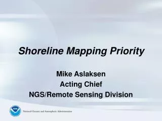
Shoreline Mapping Priority Mike Aslaksen Acting Chief NGS/Remote Sensing Division
FY05 Highlights • 4.1% of U.S. Shoreline Mapped (Goal = 4.0%) • 22.5% of 40 major port areas analyzed (Goal = 20.0%) • Damage Assessment Imagery collected for Hurricanes Dennis, Katrina, Rita, and Ophelia – total of nearly 14,000 images • Research – TABI, LIDAR, VDatum, UAS
Shoreline Mapping Budget History * Awaiting final appropriation
Shoreline Mapping Priority SHORT TERM OUTCOMES • Replace FTE employees and contractors associated with the Shoreline Mapping Program (SMP) to levels that will maintain a core capability as well as support current and future contracting efforts. • Meet current performance measure for FY06 of 20% of critical ports analyzed and 4.5% of the national shoreline as required by the PPBES process. • Educate and inform current and traditional users of the importance of the Shoreline Mapping Program and multiple uses of the data including IOOS and IOCM. • Continue integration activities within NGS and NOAA that leverage expertise and capabilities within and vice versa (CORS, VDatum, GEOID, HtMod, C&T, W&W, Climate, Ecosystems)
Shoreline Mapping Priority STRATEGIES • Develop education and outreach material for all levels of users and contractors to promote NOAA’s Shoreline data as well its multi use and application to include IOOS and IOCM. • Support and promote the President’s Ocean Action Plan and the Ocean and Coastal Mapping Integration Act (S. 364) through continued coordination and integration within NOAA as well as other federal agencies with coastal mapping requirements. • Continue research and development activities with a focus on transitioning research to operations for the Shoreline Mapping Program.