Download
1 / 19
190 likes | 206 Vues
VISITview™ is a platform-independent tool developed by UW/CIMSS for NOAA VISIT program, focusing on science training for forecasters. It offers image animations, real-time collaboration features, quizzes, and more. Learn how to use VISITview for teletraining, collaborate with remote instructors, and create collaborative sessions effortlessly. Join the future of collaborative distance learning with VISITview!

E N D
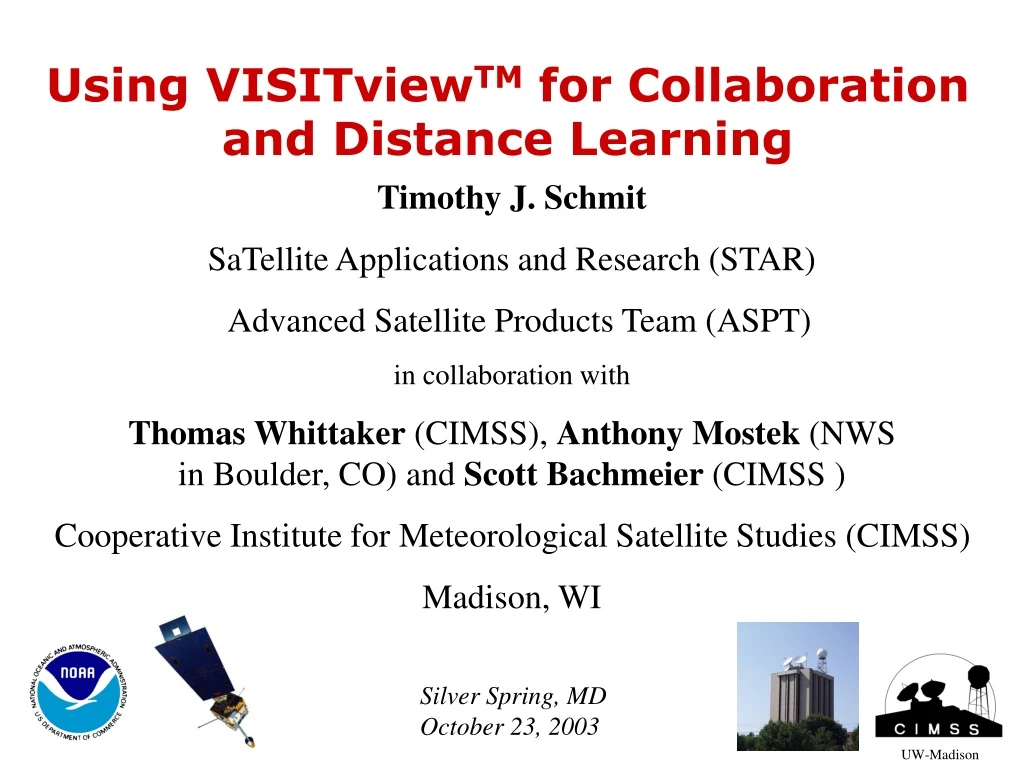
Using VISITviewTM for Collaboration and Distance Learning Timothy J. Schmit SaTellite Applications and Research (STAR) Advanced Satellite Products Team (ASPT) in collaboration with Thomas Whittaker (CIMSS), Anthony Mostek (NWSin Boulder, CO) and Scott Bachmeier (CIMSS ) Cooperative Institute for Meteorological Satellite Studies (CIMSS) Madison, WI Silver Spring, MD October 23, 2003 UW-Madison
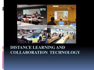
VISITview is a distance learning and real-time collaboration tool developed by UW/CIMSS for the NOAA VISIT (Virtual Institute for Satellite Integration Training) program to meet the needs of science training of the operational forecasters. While VISITview emphasizes functions needed to realize these goals, it can be used for applications like: image animations, zooming, colorizing, drawing. VISITview includes an integrated whiteboard/blackboard, a chat function, page-by-page quizzes, and inks to external Web sites.
Outline: Overview of VISITview Training applications Collaboration applications Demonstrations GOES-R ABI (Advanced Baseline Imager) http://www.ssec.wisc.edu/visit/briefings/abi03/viewmaster.html Real-time satellite imagery and products http://www.ssec.wisc.edu/visit/satcollab.html
VISITview – background • Teletraining tool developed for the NWS VirtualInstituteforSatelliteIntegrationTraining • Software developed at UW/CIMSS (Cooperative Institute for Meteorological Satellite Studies ) • More than 10,000 trainees to date • Features aimed at NWS needs • Applicable in a variety of disciplines • Easy to use for collaborations – right from your desktop • Audio and annotation recording (“TV”)
Audio Options: * telephone * VoIP * text chat VISITview Server Platforms: Windows Linux MacOS Unix VISITview Topology
Global Satellite Data --VISITview at APSATS(Asian Pacific Satellite Applications Training Seminar) • WMO international workshop in Melbourne, Australia in June, 2002 • 40 participants • Used by remote instructors who could not travel • First ever international real-time satellite data weather briefing • The future...more collaborations needed!!
Collaborations vs.Teletraining • Teletraining • Pre-defined “lessons” • Scheduled • Large group • Collaborations • Ad hoc material – even “realtime” • Spur of the moment – from your desktop • One-on-one (or two...)
Other Collaboration Tools • Commercial • Netmeeting • TimbukTu • Etc. • Software libraries • Applications based on VisAD library • Unidata's Integrated Data Viewer • AWIPS-connected • FX-Collaborate
The key to the VISITview approach is that it connects the instructor(s) to many students located in many different offices/locations. Given that the application is Java-based, VISITview is platform independent. Using the Graphical User Interface (GUI) VISITview™ Lesson Builder, it is possible to build a VISITview lesson from several sources, including Microsoft PowerPoint presentation files or Apple’s Keynote software.
How to make a VISITView presentation: • 1) Streaming Video from NOAA Tech 2002: • http://www.noaatech2002.noaa.gov/tom_whittaker.ram • Creating teletraining and real-time collaboration sessions with VISITview by Tom Whittaker, CIMSS - Madison, WI • 2) VISITview module of the VISITview Lesson Builder: • http://www.ssec.wisc.edu/visitview/howtolesson.html • 3) HTML-based version for working with VISITview: • http://www.ssec.wisc.edu/visitview/tutorial/index.html
sample high spectral-resolution earth emitted spectra Spectral ranges for the GOES-8/11 (top bars) and GOES-12+ (bottom bars) Imagers.
For example, the VISITview sessions currently scheduled for November 2003 are: • NEW - Atlantic Seasonal Hurricane Outlooks (Intermediate, October 24, November 6) • NEW - Water Vapor Channel Satellite Imagery (Basic, November 3,7,12,18,24,28) • Use of GOES/RSO imagery with other Remote Sensor Data for Diagnosing Severe Weather across the CONUS (Intermediate, Part 1: November 5; Part 2: November 6) • Lake Effect Snow II (Advanced, November 4, 19) • Cyclogenesis: Analysis utilizing Geostationary Satellite Imagery (Basic, November 12, 20) • ACARS Weather Data (Basic, November 21)
GOES-R ABI (Advanced Baseline Imager): http://www.ssec.wisc.edu/visit/briefings/abi03/viewmaster.html
Summary: NOAA has already paid for VISITview – it’s free. Platform independent. Specialized features (loops, enhancements, etc). VISITview is being used for training. Teletraining/briefing provides an active solution to get training to the users wherever they are while maximizing the use of resources! VISITview is being used for collaborations. VISTIview continues to evolve to meet expanding user needs. VISITview can save time, money and travel-induced wear-and-tear.