Download
1 / 11
110 likes | 255 Vues
The National Ice Center (NIC) serves as the U.S. inter-agency hub for operational ice analysis and forecasting. Established in 1995, its roots trace back to the 1950s with the Navy's global sea ice services. The NIC integrates efforts from various agencies including NOAA, the U.S. Coast Guard, and the Department of Defense. It provides vital sea ice products and services for diverse sectors such as transportation, tourism, and environmental safety, ensuring informed decision-making and operational success in polar and maritime environments.

E N D
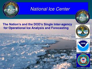
National Ice Center The Nation’s and the DOD’s Single Inter-agency for Operational Ice Analysis and Forecasting
National Ice Center History 1950s - Navy commenced global sea ice services 1956 - National Weather Bureau and U.S. Navy Fleet Weather Central collocated in Suitland (FOB #4) 1960s - NOAA commenced Alaskan & Great Lakes advisories 1976 - Navy/NOAA Joint Ice Center formed Navy-NOAA MOA 1995 - National Ice Center formed - Navy, NOAA, & U.S. Coast Guard MOA as Annex to Navy-NOAA Umbrella MOA – Inter-agency
COMMANDANT United States Coast Guard Commander Fleet Forces Command OPERATIONS Directorate (G-0) National Environmental Satellite, Data & Information Service Operations Policy Directorate (G-OP) Commander Naval Meteorology & Oceanography Command Office of Navigation Aids (G-OPN) Office of Satellite Data Processing & Distribution Naval Oceanographic Stennis Space Center, MS Icebreaking & Ice Operations (G-OPN-1) National Ice Center NAVICECEN National Ice Center NATIONAL ICE CENTER/NAVAL ICE CENTER NOAA National Ice Center
NIC Customers NIC CUSTOMER BASE DOD SUBFORCE INTEL (ONI/N23) ARMY/AIR FORCE MARINE CORP METOC/OTSR Army Corps Eng PENTAGON Camp David/SITE R NOAA NWSFOs NWS MODELS NMFS NSIDC NCDC NODC NGDC Public Interest DHS/USCG ICEBREAKERS - Polar (CGHQ) - Great Lakes (D9) - Ches/Del Bays (D5) SECURITY MARINE SAFETY IIP (Mar -Aug) OTHER NSF NASA RESEARCH ACADEMIA *INDUSTRY INTERNATIONAL Commercial users(NIC products on WWW): Oil, Transportation, Tourism, Fishing Fleets, Minerals
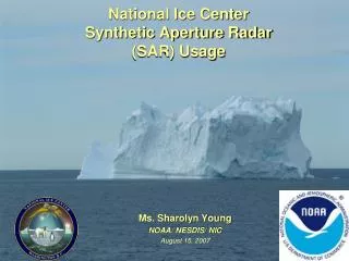
Sea Ice Products:the NIC Process QuickSCAT Foreign Ice Charts DMSP OLS Models/ PIPS 2.0 Gerson AVHRR NIC Ice chart 80-90 GB data per day Ice Recon RADARSAT DMSP SSM/I
Annotated Imagery Products Ice Drift 20-30 NM/Week
Automated Ice Edge • Final Product Comprised of: • SSMI NASA Team II • QuikScat Integrated along with Imagery • Value-added ice edge from NIC analyst (if available) • Backfill of SSMI ice concentrations Automated chart (SSM/I J019) compared to the analyst derived chart for the same day.
North American Ice Service National Ice Center and Canadian Ice Service
Questions? NOAA Satellite Operations Facility Opening September 2005