Download
1 / 19
190 likes | 351 Vues
Freezing rain event 14-15 December 2005 Central South Carolina. Tony Petrolito NWS Forecast Office Columbia SC. Introduction. Initially it appeared temperatures would be just warm enough for all rain. Cold dry high pressure to the north.

E N D
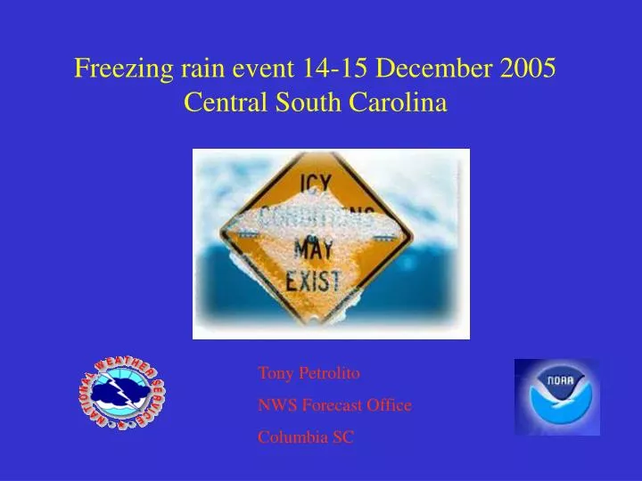
Freezing rain event 14-15 December 2005Central South Carolina Tony Petrolito NWS Forecast Office Columbia SC
Introduction • Initially it appeared temperatures would be just warm enough for all rain. Cold dry high pressure to the north. • A light freezing rain event developed across the piedmont and north midlands after midnight 15 December 2005. • Icing was confined to elevated surfaces (trees; power lines). Soil temperatures well above freezing.
Introduction-Cont. • During the morning 14 December, WFO CAE forecasters determined (based on observational trends) that the numerical models and model output statistics (MOS) were incorrectly forecasting surface temperatures too warm and were also not accounting for dry air near the surface. • WFO CAE forecasters decided to issue a winter weather advisory for freezing rain for the northern portion of the county warning forecast area.
Synoptic overview GFS 18-hr forecast 500mb geopotential heights (m x 10), vorticity (s-1) and wind (kt) valid 1200 UTC 15 December 2005.
NCEP/HPC observed mean sea level pressure (mb) and frontal analysis valid 1200 UTC 15 December 2005. (weak CAD with surface temperatures near 0oC across north central S.C.)
MSAS mean sea level pressure analysis (mb) and METAR observations standard plot valid 1900 UTC 14 December 2005.
GFS 00-hr forecast precip water and precip water observed plot valid 1200 UTC 14 December 2005.
NAM 00-hr forecast precip water and precip water observed plot valid 1200 UTC 14 December 2005.
Laps sounding at CAE valid 1800 UTC 14 December 2005. note deep cold and dry layer below 600 mb. The sounding saturated above 600 mb suggesting extensive mid to high level clouds limiting solar insolation during the afternoon.
Mesoscale overview MSAS mean sea level pressure (mb), surface temperature oF and surface wind (kt) valid 2100 UTC 14 December 2005.
NAM 3-hr forecast mean sea level pressure (mb), surface temperature oF and surface wind (kt) valid 2100 UTC 14 December 2005.
NAM 24-hr forecast 295K pressure (mb), 295K pressure advection (um/s, and wind (kt) valid 1200 UTC 15 December 2005. WFO CAEQPF forecasts were in the 0.25 to 0.50 inch range for the 12-hr period ending at 1200 UTC.
Fa=1 if all the freezing takes place on elevated surfaces Fa=0.5 if freezing occurs on ground with cold bare ground icing (mm)=0.05dT*dP/Fa; assuming adequate QPF ; dT=freezing point depression (oC) dP=depth of surface based sub-freezing layer(mb)
Summary • Light to occasionally moderate freezing rain event developed after midnight 15 December. • With soil temperatures above 0oC, icing was confined to elevated surfaces. Local application based on CSTAR research suggested icing potential around 0.10 inches was possible. Spotter reports confirm icing accretion up to 0.10 inches on trees and power lines. • WFO CAE forecasters demonstrated excellent situational awareness by recognizing that the model forecasts of surface temperatures and dew points were not panning out in correspondence with observations. • It is important for forecasters to routinely compare model soundings with ACARS, Laps, and other observational data sets.