Download
1 / 14
140 likes | 163 Vues
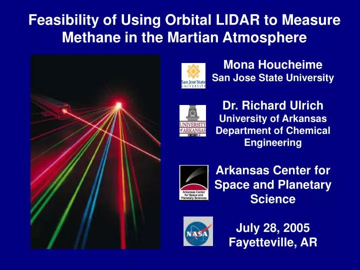
Feasibility of Using Orbital LIDAR to Measure Methane in the Martian Atmosphere. Mona Houcheime San Jose State University Dr. Richard Ulrich University of Arkansas Department of Chemical Engineering Arkansas Center for Space and Planetary Science July 28, 2005 Fayetteville, AR.

E N D
Feasibility of Using Orbital LIDAR to Measure Methane in the Martian Atmosphere Mona Houcheime San Jose State University Dr. Richard Ulrich University of Arkansas Department of Chemical Engineering Arkansas Center for Space and Planetary Science July 28, 2005 Fayetteville, AR
Purpose of this Project • This project evaluates the feasibility of orbital LIDAR to map CH4 in the Martian atmosphere. • What is LIDAR • Instrument Characteristics: • detection limits • spatial resolution (column abundance) • hardware requirements • orbital considerations • Absorption of Photons by Atmospheric Species • System Configurations
Methane in the Martian Atmospherefrom ESA Mars Express • 10 +/- 5 ppbv • about 300 years lifetime • Major sink = photolysis • Sources may be biogenic! • LIDAR can provide much higher sensitivity and spatial resolution Methane mixing ratios: Red high Yellow medium Blue low
What is LIDAR LIght Detection And Ranging t=? l =? Ranging Atmospheric Characterization In Vacuum
LIDAR as a Rangefinder • Digital elevation models (DEMs) • Ranging time • 1 ns round trip time = 15 cm MOLA (Mars Orbiter Laser Altimeter) topographic map of Mars:
LIDAR for Atmospheric Characterization • Can determine: • Aerosol characteristics (clouds, dust particles) • Wind speeds (temperature profile and air circulation) • H2O(v) concentrations (humidity) • Chemical composition (major/minor constituents) • tune LIDAR to l at strongest absorption cross-section • Our Goal: global mapping of methane on Mars even at • low abundance (ppb)
Terrestrial Results from LIDAR Studies of the Atmosphere Methane plume imaging from aircraft LIDAR Aerosols Water Vapor
Beer-Lambert’s Law • To analyze and quantify absorption • Id = I° e-(sCH4 * NCH4)L • I°≠ I initial • Id < I° (photons/sec) • DIAL – eliminates scattering due to particles • Take two measurements at two closely-spaced frequencies • One tuned to absorption l of species ~3.32 mm and non- • absorbing ~3.34 mm
H C C C C H H H v4 = 7.7 µm v3 = 3.3 µm v2 v1 Chemical Analysis using Photon Absorption CH4
Absorption Cross Sections CH4 Absorption coefficient b=N * s
LIDAR: Bistatic vs. Monostatic Bistatic Monostatic CH4 CH4
Orbital Consideration for Bistatic LIDAR • For a circular orbit and the optical path tangential to the surface, • the spacecraft separation would be: • Close/tangential to the surface • Larger T-R separation lower SNR
Conclusions • LIDAR could be effectively used to map methane in the Martian atmosphere • Optimal laser wavelength 3.32 mm if there is no interference with water absorption lines • Bistatic might be preferable to monostatic • better sensitivity, but requires two spacecraft • DIAL would be effective at eliminating scattering contribution
References • Hanel, R.A., et al., Exploration of the Solar System by Infrared Remote Sensing, Cambridge University Press, Second edition, Cambridge, UK 2003 • Lewis, John S., Physics and Chemistry of the Solar System, Academic Press, San Diego, California, 1995 • Spectral Database http://vpl.ipac.caltech.edu/spectra • Laser sensing tutorial http://www.swsciences.com/technology/sensors.html • Laser Technology http://oea.larc.nasa.gov/PAIS/LaserTech.html • Pictures: • http://www.nature.com/news/2004/041025/images/laser.jpg • http://www.bol.ucla.edu/~jberle/med_atmosphere2.jpg • http://scirealm.netfirms.com/gallery/planets_comets_asteroids/mars/mars.html • http://ltpwww.gsfc.nasa.gov/tharsis/mola.html • http://www.esrin.esa.it/export/esaLP/ESA40MPV16D_campaigns_3.html • http://virl.gsfc.nasa.gov/gif/0411933a.gif • http://www.geointelmag.com/geointelligence/article/articleDetail.jsp?id=151575&&pageID=2 Thanks to Dr. Ulrich for his assistance in the research