Download
1 / 54
540 likes | 556 Vues
A collection of multiple-choice questions and answers from the Earth Science Regents Exam, covering topics such as Earth's revolution, atmospheric conditions, celestial bodies, geological processes, and more.

E N D
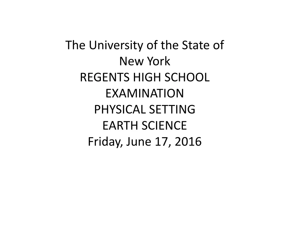
The University of the State of New York REGENTS HIGH SCHOOL EXAMINATION PHYSICAL SETTING EARTH SCIENCE Friday, June 17, 2016
Table 1. Earth’s approximate rate of revolution is • 1° per day • 15° per day • 180° per day • 360° per day
Table 2. Planetary winds in the Northern Hemisphereare deflected to the right due to the • Doppler effect • Coriolis effect • tilt of Earth’s axis • polar front jet stream
Table 3. Which star is hotter, but less luminous, thanPolaris? • Deneb • Aldebaran • Sirius • Pollux
Table 4. Which statement best explains why Earth andthe other planets of our solar system becamelayered as they were being formed? • Gravity caused less-dense material to move toward the center of each planet. • Gravity caused more-dense material to move toward the center of each planet. • Materials that cooled quickly stayed at the surface of each planet. • Materials that cooled slowly stayed at the surface of each planet.
Table 5 Which conditions on Earth’s surface will allowfor the greatest amount of water to seep into theground? • gentle slope and permeable • gentle slope and impermeable • steep slope and permeable • steep slope and impermeable
Table 6. The photograph below shows a Foucault pendulum at a museum. The pendulum knocks over pins in a regular pattern as it swings back and forth. This pendulum movement, and the pattern of knocked-over pins, is evidence of Earth’s • nearly spherical shape • gravitational attraction to the Sun • rotation on its axis • nearly circular orbit around the Sun
Table 7. Earth’s early atmosphere contained carbon dioxide, sulfur dioxide, hydrogen, nitrogen, water vapor, methane, and ammonia. These gases were present in the atmosphere primarily because • radioactive decay products produced in Earth’s core were released from Earth’s surface • evolving Earth life-forms produced these gases through their activity • Earth’s growing gravitational field attracted these gases from space • volcanic eruptions on Earth’s surface released these gases from the interior
Table 8. The diagram below represents the apparent positions of the Big Dipper, with respect to Polaris, as seen by an observer in New York State at midnight on the first day of summer and on the first day of winter. The change in the apparent position of the Big Dipper between the first day of summer and the first day of winter is best explained by Earth • rotating for 12 hours • rotating for 1 day • revolving for 6 months • revolving for 1 year
Table 9. The weather station model shown belowindicates that winds are coming from the • southeast at 10 knots • northwest at 10 knots • southeast at 20 knots • northwest at 20 knots
Table 10. Which type of air mass most likely has highhumidity and high temperature? • cP • cT • mT • mP
Table 11. What is the relative humidity if the dry-bulbtemperature is 16°C and the wet-bulbtemperature is 10°C? • 45% • 33% • 14% • 4%
Table 12. The table below shows the air temperature and dewpoint at each of four locations, A, B, C, and D. Based on these measurements, which location has the greatest chance of precipitation? • A • B • C • D
Table 13. Which type of electromagnetic radiation has theshortest wavelength? • ultraviolet • gamma rays • radio waves • visible light
Table 14. Which gas is considered a major greenhouse gas? • methane • hydrogen • oxygen • nitrogen
Table 15. The diagram below represents Earth and the Sun’s incoming rays. Letters A, B, C, and D represent locations on Earth’s surface. Which two locations are receiving the same intensity of insolation? • A and B • B and C • C and D • D and B
Table 16. Most of the sand that makes up the sandstonefound in New York State was originally deposited in which type of layers? • tilted • horizontal • faulted • folded
Table 17. The map below shows the current location of New York State in North America. Approximately how many million years ago (mya) was this New York State region located at the equator? • 59 mya • 119 mya • 359 mya • 458 mya
Table 18. Many scientists infer that one cause of the massextinction of dinosaurs and ammonoids thatoccurred approximately 65.5 million years agowas • tectonic plate subduction of most of the continents • an asteroid impact that resulted in climate change • a disease spreading among many groups of organisms • severe damage produced by worldwide earthquakes
Table 19. During which geologic epoch do scientists inferthat the earliest grasses first appeared on Earth? • Holocene • Pleistocene • Oligocene • Eocene
Table 20. What are the inferred pressure and temperatureat the boundary of Earth’s stiffer mantle andouter core? • 1.5 million atmospheres pressure and an interior temperature of 4950°C • 1.5 million atmospheres pressure and an interior temperature of 6200°C • 3.1 million atmospheres pressure and an interior temperature of 4950°C • 3.1 million atmospheres pressure and an interior temperature of 6200°C
Table 21. A seismic P-wave is recorded at 2:25 p.m. at aseismic station located 7600 kilometers from theepicenter of an earthquake. At what time did theearthquake occur? • 2:05 p.m. • 2:11 p.m. • 2:14 p.m. • 2:36 p.m.
Table 22. A seismic station recorded the P-waves, but noS-waves, from an earthquake because S-waveswere • absorbed by Earth’s outer core • transmitted only through liquids • weak and detected only at nearby locations • not produced by this earthquake
Table 23. The Catskills of New York State are best described as a plateau, while the Adirondacks are best described as mountains. Which factor is most responsible for the difference in landscapeclassification of these two regions? • climate variations • bedrock structure • vegetation type • bedrock age
Table 24. An elongated hill that is composed of unsortedsediments deposited by a glacier is called • a delta • a drumlin • a sand dune • an outwash plain
Table 25. Which rock was subjected to intense heat andpressure but did not solidify from magma? • sandstone • schist • gabbro • rhyolite
Table 26. The map below shows a stream drainage pattern where the streams radiate outward from the center. Which landscape feature would produce this stream drainage pattern? • steep cliff • glacial kettle lake • volcanic mountain • flat plain
Table 27. The map below shows the area that, at one time, was covered by ancient Lake Bonneville. Evidence of ancient shorelines indicates that, near the end of the last ice age, Lake Bonneville existed in western Utah and eastern Nevada. The Great Salt Lake in Utah is a remnant of the former Lake Bonneville. Which material that was formerly on the bottom of Lake Bonneville is most likely exposed on the land surface today? • folded metamorphic bedrock • flat-lying evaporite deposits • coarse-grained coal beds • fine-grained layers of volcanic lava
Table 28. The cross section below represents a portion of a meandering stream. Points X and Y represent two positions on opposite sides of the stream. Based on the cross section, which map of a meandering stream best shows the positions of points X and Y? • (1) • (2) • (3) • (4)
Table 29. When wind and running water gradually decrease in velocity, the transported sediments are deposited • all at once, and are unsorted • all at once, and are sorted by size and density • over a period of time, and are unsorted • over a period of time, and are sorted by size and density
Table 30. The graph below shows ocean water levels for a shoreline location on Long Island, New York. The graph also indicates the dates and times of high and low tides. Based on the data, the next high tide occurred at approximately • 4 p.m. on July 13 • 10 p.m. on July 13 • 4 p.m. on July 14 • 10 p.m. on July 14
Table 31. Which diagram best represents heat transfer mainly by the process of conduction? • (1) • (2) • (3) • (4)
Table 32. The diagram below represents the position of Earth in its orbit and the position of a comet in its orbit around the Sun. Which inference can be made about the comet’s orbit, when it is compared to Earth’s orbit? • Earth’s orbit and the comet’s orbit have the same distance between foci. • Earth’s orbit has a greater distance between foci than the comet’s orbit. • The comet’s orbit has one focus, while Earth’s orbit has two foci. • The comet’s orbit has a greater distance between foci than Earth’s orbit.
Table 33. Which sequence of geologic events is in the correct order, from oldest to most recent? • oceanic oxygen begins to enter the atmosphere → earliest stromatolites → initial opening of the Iapetus Ocean → dome-like uplift of the Adirondack region begins • dome-like uplift of the Adirondack region begins → initial opening of the Iapetus Ocean → oceanic oxygen begins to enter the atmosphere → earliest stromatolites • initial opening of the Iapetus Ocean → earliest stromatolites → oceanic oxygen begins to enter the atmosphere → dome-like uplift of the Adirondack region begins • earliest stromatolites → oceanic oxygen begins to enter the atmosphere → initial opening of the Iapetus Ocean → dome-like uplift of the Adirondack region begins
Table 34. The cross section of the atmosphere below represents the air motion near two frontal boundaries along reference line XY on Earth’s surface. Which weather map correctly identifies these fronts and indicates the direction that these fronts are moving? • (1) • (2) • (3) • (4)
Table 35. Which block diagram represents the plate motion that causes the earthquakes that occur along the San Andreas Fault in California? • (1) • (2) • (3) • (4)
Table 36. At which map location would no shadow be cast by the vertical stick at solar noon on the first day of summer? • A • B • C • D
Table 37. Which map shows both the dominant air pressure system that forms over India in the summer and the direction of surface winds around this air pressure system? [High pressure = H, Low pressure = L] • (1) • (2) • (3) • (4)
Table 38. The unequal heating rates of India’s land and water are caused by • land having a higher density than water • water having a higher density than land • land having a higher specific heat than water • water having a higher specific heat than land
Table 39. Which processes lead to cloud formation when humid air rises over India? • compression, warming to the dewpoint, and condensation • compression, warming to the dewpoint, and evaporation • expansion, cooling to the dewpoint, and condensation • expansion, cooling to the dewpoint, and evaporation
Table 40. How many hours (h) will it take for the apparent position of the Sun to change from point A to point B? • 1 h • 2 h • 3 h • 4 h
Table 41. Compared to the Sun’s apparent path on June 21, the Sun’s apparent path on December 21 at this location will • be shorter, and the noon Sun will be lower in the sky • be longer, and the noon Sun will be higher in the sky • remain the same length, and the noon Sun will be lower in the sky • remain the same length, and the noon Sun will be higher in the sky
Table 42. Which diagram represents the correct position of Polaris as viewed from this New York State location on a clear night? • (1) • (2) • (3) • (4)
Table 43. In order for process A to occur, liquid water must • gain 334 Joules per gram • gain 2260 Joules per gram • lose334 Joules per gram • lose 2260 Joules per gram
Table 44. Which process is represented by letter B? • capillarity • transpiration • infiltration • precipitation
Table 45. During which geologic time period was the surface bedrock at this location formed? • Cretaceous • Triassic • Devonian • Ordovician
Table 46. Compared to the bedrock layers above and below the rock ledge shown at the waterfall, the characteristicthat is primarily responsible for the existence of the rock ledge is its greater • resistance to weathering • abundance of fossils • thickness • age
Table 47. Rock fragments that are tumbled and carried over long distances by this stream are most likely becoming • less dense, harder, and smaller • less rounded, jagged, and larger • more dense, angular, and smaller • more rounded, smoother, and smaller