Download
1 / 29
300 likes | 422 Vues
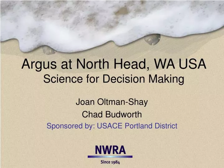
Argus at North Head, WA USA Science for Decision Making. Joan Oltman-Shay Chad Budworth Sponsored by: USACE Portland District. Presentation Overview. Background on Location and View Orientation Directed-Science Objectives and Results Other Argus Services Derivative products.

E N D
Argus at North Head, WA USAScience for Decision Making Joan Oltman-Shay Chad Budworth Sponsored by: USACE Portland District
Presentation Overview • Background on Location and View Orientation • Directed-Science Objectives and Results • Other Argus Services • Derivative products
Argus at the North Head LighthouseMouth of the Columbia RiverWashington State USA
Eight cameras looking south 50mm lenses Jetties, MCR, and the great state of Oregon in the distance
4km 1km North Head Lighthouse Site E MCR 2 miles; 3.22 km
Panoramic to Plan Views – 26 Sept 04 670m 400m 250m
Directed-Science Objectives • Strategic Objective • Obtain environmental information to aid in decision-making for placement of Columbia River dredge material • Obtain environmental information relevant to the health of the north jetty • Operational Objective for Argus • Monitor erosion rates at Benson Beach • Map sediment features near the jetty • Develop a conceptual model of sediment processes on Benson Beach (adjacent to the north jetty) • Monitor wave activity near the SWS (Site E)
Approach Analyze Argus data for: • 2.0m NAVD88 (MHW) shoreline location • Offshore bar movements • Dry-beach acreage change • Between MHW and an onshore baseline • Intertidal sand volume change • Between 0.69 (MLW+.3) and 2.26m (MHHW) • Run-up • Kent Hathaway: 3 locations along the 3km of beach • Longshore surface currents • Kent Hathaway: can’t use pixels – Tom Lippmann is trying PIV • Integrate offshore wave periods and direction • Either Argus derived, NDBC buoy, or models
Time increasing May 2004 Feb 2004 MHW Shoreline Shape June 2005 Sept 2005
North Jetty Repair Sand Bar SWS Material Added Winter Season 04/05 03/04 05/06
Occurrence of Eroding Waves: Hsig > 4m Seasonal Comparison Annual Comparison
Occurrence of Accreting Waves: Hsig < 2m Annual Comparison Beach normal Seasonal Comparison
Towards a Conceptual Understanding:Nascent Musings • Acreage and Sand volume changes • North and South ends of the beach behaving differently • North side shows no net change after two years • Cumulative accretion and erosion close to zero in the second year • South side shows significant accretion in the 2nd summer • Less erosion at the end of the 2nd winter • Sand bar accretion to the shoreface began before dredge material placement and jetty repair • Argus temporal resolution shows its value here! • Offshore wave conditions different in first and second years • Fewer eroding waves (>4m) in the second year • More accreting waves (<2m) out of the extreme north-west in second year • North side in the shadow of the headland?
Derivative Argus Products • Are waves breaking offshore of the jetty? • Is it safe for boaters? • Snapshot images on the web every 20 minutes • Where are they breaking? Dale Beasley, CRCFA • Why are the waves breaking there? Rod Moritz, USACE • What was the effect of the Dec 05/Jan 06 storms? • Did some of the nose of the jetty falling off? Rod Moritz, USACE • Was there beach erosion? • Can I once again use the south end of Benson Beach for training? George Vassaur, US Coast Guard
Why are the waves breaking there? October 2005 – end of SWS material placement
Dec05/Jan06 Storms: NORTH JETTY FEB 06 vs JUL 05 31 JUL 2005 31 JUL 2005 5 FEB 2006 at 18:20 PST North Jetty foreground and south jetty back ground Quick analysis by Rod Moritz using Argus products available on the web site Head of north jetty has receded 30-60 ft shoreward during Jul 05 and Feb 06
Preliminary NWRA analysis: 12m loss between 26 Dec 05 and 7 Jan 06
Dec05/Jan06 Storms: Benson Beach affected? YES. MHW shoreline retreated 20 to 90m Greatest retreat on the south side
Argus at North Head Lighthouse would not have been possible with out the joint cooperation of Washington State Parks, Coast Guard, and USACE
NorthWest Research Associates (NWRA)Bellevue, WA NWRA is a scientific research group, owned and operated by its Principal Investigators, with expertise in the geophysical and related sciences.