Download
1 / 9
110 likes | 146 Vues
The UK Aerial Robotics Team at the University of Kentucky has developed a MATLAB code to process images captured during flight for target recognition. The software stitches images, calculates GPS coordinates, and presents them using a user-friendly GUI powered by NASA World-Wind software. Users can pan, zoom, and analyze images efficiently. The system aims to improve visual analysis and target identification capabilities. Status: Most goals achieved; finalizing marker capability and camera stabilizer compensation.

E N D
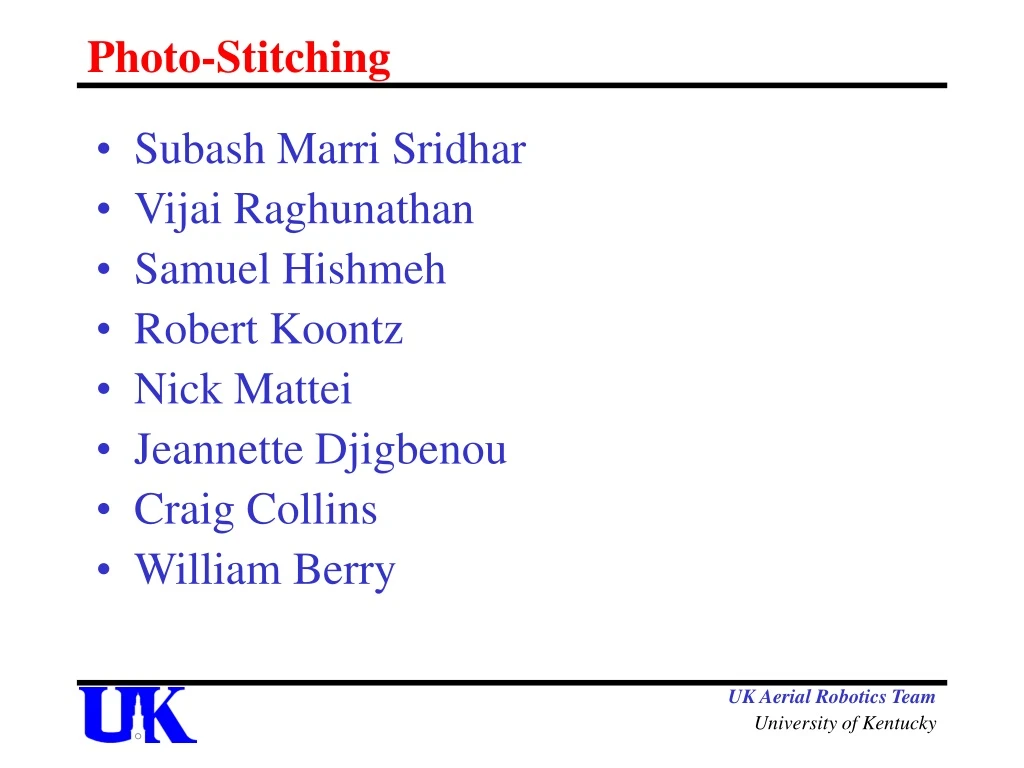
Photo-Stitching • Subash Marri Sridhar • Vijai Raghunathan • Samuel Hishmeh • Robert Koontz • Nick Mattei • Jeannette Djigbenou • Craig Collins • William Berry UK Aerial Robotics Team University of Kentucky
Objectives Process images gathered during flight for human/visual analysis and target recognition UK Aerial Robotics Team University of Kentucky
Requirements • Work on 600 JPEG images • Each of 3Megapixel resolution • 500Kilobytes of memory each • Present the images in a GUI • User should be able to flip through, pan and zoom images • User should be able to recognize targets from GUI • All above processing should be done within a time limit of 10 minutes UK Aerial Robotics Team University of Kentucky
Design Write image to “output directory” Calculate GPS Coordinates Based on GPS data Of the centre of image Rotate image based on Heading data Present Images using GUI Images and data Write Image Description to layer file Images Image data UK Aerial Robotics Team University of Kentucky
Design • Matlab code collects the data from the input directory and does all necessary transformation on images and creates the end XML files for use in GUI. • “NASA World-wind” Open source software used as GUI to display end images with all required image data UK Aerial Robotics Team University of Kentucky
Design Features of NASA World-Wind software • Ability create our own world using images taken from flight similar to Google Earth • Marker capability displaying latitude and longitude information • Give heading of objects • Flip through stacked similar images • Zoom, pan and tilt images • Place markers as user desires UK Aerial Robotics Team University of Kentucky
Screen shoots UK Aerial Robotics Team University of Kentucky
Risks • Images not stabilized • User not comprehending information Due to overlap of images • User not provided with smooth image because of no stitching of images • Processing speed will take at least 10 minutes UK Aerial Robotics Team University of Kentucky
Status Approximately 90% of the goals have been reached, few of the goals remaining to be reached are: • Verify functionality of software • Give GUI marker capability • Include computation of anti-pitch and anti-roll not compensated by camera stabilizer UK Aerial Robotics Team University of Kentucky